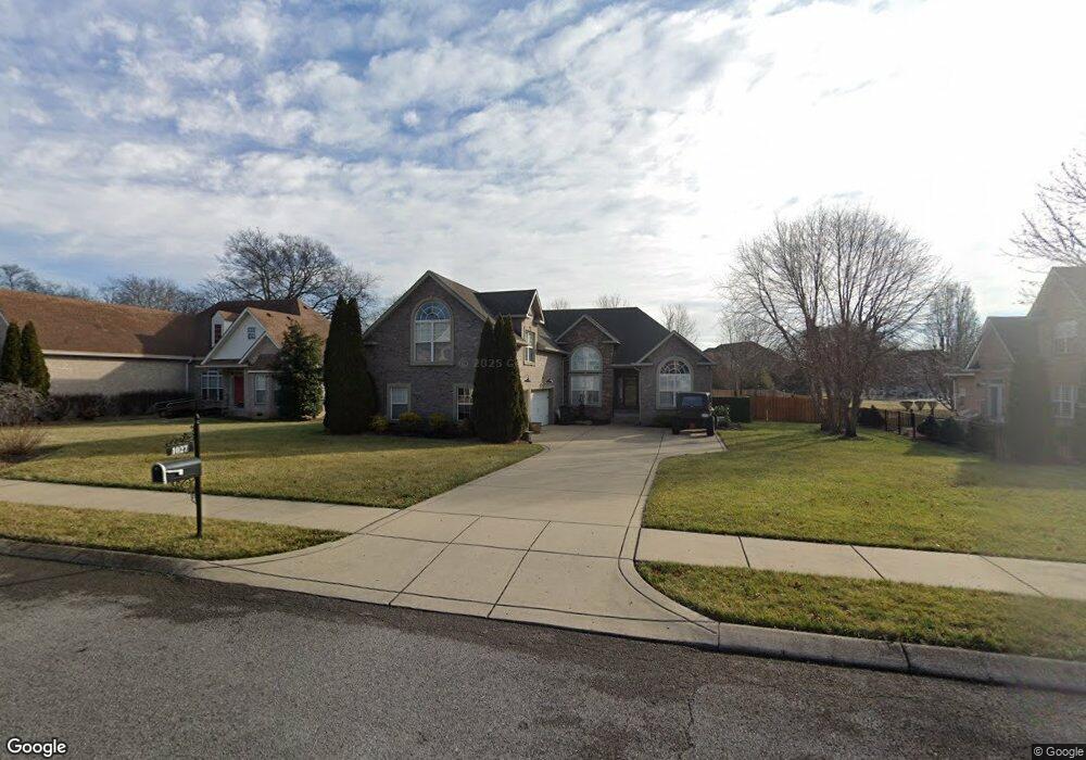
1027 Wyndham Dr Gallatin, TN 37066
Estimated Value: $573,994 - $726,000
--
Bed
3
Baths
2,175
Sq Ft
$306/Sq Ft
Est. Value
About This Home
This home is located at 1027 Wyndham Dr, Gallatin, TN 37066 and is currently estimated at $664,749, approximately $305 per square foot. 1027 Wyndham Dr is a home located in Sumner County with nearby schools including Howard Elementary School, Rucker Stewart Middle School, and Gallatin Senior High School.
Ownership History
Date
Name
Owned For
Owner Type
Purchase Details
Closed on
Mar 9, 2007
Sold by
Jim Sweeney Construction Inc
Bought by
Riggins Charles and Riggins Tara
Current Estimated Value
Home Financials for this Owner
Home Financials are based on the most recent Mortgage that was taken out on this home.
Original Mortgage
$227,432
Outstanding Balance
$137,962
Interest Rate
6.3%
Mortgage Type
Purchase Money Mortgage
Estimated Equity
$526,787
Create a Home Valuation Report for This Property
The Home Valuation Report is an in-depth analysis detailing your home's value as well as a comparison with similar homes in the area
Home Values in the Area
Average Home Value in this Area
Purchase History
| Date | Buyer | Sale Price | Title Company |
|---|---|---|---|
| Riggins Charles | $284,290 | None Available |
Source: Public Records
Mortgage History
| Date | Status | Borrower | Loan Amount |
|---|---|---|---|
| Open | Riggins Charles | $227,432 |
Source: Public Records
Tax History Compared to Growth
Tax History
| Year | Tax Paid | Tax Assessment Tax Assessment Total Assessment is a certain percentage of the fair market value that is determined by local assessors to be the total taxable value of land and additions on the property. | Land | Improvement |
|---|---|---|---|---|
| 2024 | $2,286 | $160,900 | $43,750 | $117,150 |
| 2023 | $2,289 | $75,000 | $22,000 | $53,000 |
| 2022 | $2,297 | $75,000 | $22,000 | $53,000 |
| 2021 | $2,297 | $75,000 | $22,000 | $53,000 |
| 2020 | $2,297 | $75,000 | $22,000 | $53,000 |
| 2019 | $2,297 | $0 | $0 | $0 |
| 2018 | $2,249 | $0 | $0 | $0 |
| 2017 | $2,249 | $0 | $0 | $0 |
| 2016 | $1,611 | $0 | $0 | $0 |
| 2015 | $2,249 | $0 | $0 | $0 |
| 2014 | $1,943 | $0 | $0 | $0 |
Source: Public Records
Map
Nearby Homes
- 1016 Wyndham Dr
- 1030 Wyndham Dr
- 977 Westbrook Dr
- 107 Mimosa Dr
- 111 Sundown Cir
- 1080 Summerstar Cir
- 959 Bluejay Way
- 2108 Rodman Blvd
- 654 Bay Point Dr
- 825 Browns Ln Unit 2503
- 825 S Browns Ln Unit 1501
- 825 S Browns Ln Unit 1904
- 825 S Browns Ln Unit 101
- 825 S Browns Ln Unit 1301
- 103 Dreamers Pvt Ln
- 104 Dreamers Pvt Ln
- 105 Dreamers Pvt Ln
- 615 Swanston Ln
- 617 Swanston Ln
- 619 Swanston Ln
- 1021 Wyndham Dr
- 1031 Wyndham Dr
- 680 Starpoint Dr
- 1017 Wyndham Dr
- 1026 Wyndham Dr
- 672 Starpoint Dr
- 1022 Wyndham Dr
- 689 Starpoint Dr
- 695 Starpoint Dr
- 685 Starpoint Dr
- 699 Starpoint Dr
- 668 Starpoint Dr
- 681 Starpoint Dr
- 1011 Wyndham Dr
- 2049 Rodman Blvd
- 677 Starpoint Dr
- 2043 Rodman Blvd
- 705 Starpoint Dr
- 1010 Wyndham Dr
- 671 Starpoint Dr