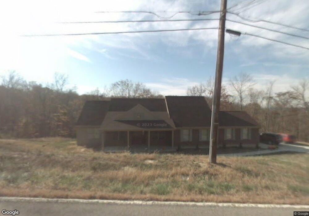
10271 Scull Rd Cincinnati, OH 45252
Estimated Value: $560,592 - $615,000
4
Beds
4
Baths
2,936
Sq Ft
$203/Sq Ft
Est. Value
About This Home
This home is located at 10271 Scull Rd, Cincinnati, OH 45252 and is currently estimated at $595,148, approximately $202 per square foot. 10271 Scull Rd is a home located in Hamilton County with nearby schools including Colerain Elementary School, Colerain Middle School, and Colerain High School.
Ownership History
Date
Name
Owned For
Owner Type
Purchase Details
Closed on
Dec 16, 2004
Sold by
Ten Point Development Llc
Bought by
Lee Reid A and Lee Linda C
Current Estimated Value
Home Financials for this Owner
Home Financials are based on the most recent Mortgage that was taken out on this home.
Original Mortgage
$40,800
Interest Rate
5.82%
Mortgage Type
Fannie Mae Freddie Mac
Purchase Details
Closed on
Nov 20, 2003
Sold by
Wauligman Glenn R
Bought by
Ten Point Development Llc
Create a Home Valuation Report for This Property
The Home Valuation Report is an in-depth analysis detailing your home's value as well as a comparison with similar homes in the area
Home Values in the Area
Average Home Value in this Area
Purchase History
| Date | Buyer | Sale Price | Title Company |
|---|---|---|---|
| Lee Reid A | -- | -- | |
| Ten Point Development Llc | -- | -- |
Source: Public Records
Mortgage History
| Date | Status | Borrower | Loan Amount |
|---|---|---|---|
| Closed | Lee Reid A | $40,800 |
Source: Public Records
Tax History
| Year | Tax Paid | Tax Assessment Tax Assessment Total Assessment is a certain percentage of the fair market value that is determined by local assessors to be the total taxable value of land and additions on the property. | Land | Improvement |
|---|---|---|---|---|
| 2025 | $9,031 | $153,266 | $23,804 | $129,462 |
| 2023 | $8,499 | $153,266 | $23,804 | $129,462 |
| 2022 | $8,100 | $119,494 | $28,088 | $91,406 |
| 2021 | $8,178 | $119,494 | $28,088 | $91,406 |
| 2020 | $8,081 | $119,494 | $28,088 | $91,406 |
| 2019 | $7,376 | $101,266 | $23,804 | $77,462 |
| 2018 | $6,634 | $101,266 | $23,804 | $77,462 |
| 2017 | $6,374 | $101,266 | $23,804 | $77,462 |
| 2016 | $7,014 | $108,801 | $23,702 | $85,099 |
| 2015 | $6,982 | $108,801 | $23,702 | $85,099 |
| 2014 | $7,003 | $108,801 | $23,702 | $85,099 |
| 2013 | $7,024 | $114,527 | $24,948 | $89,579 |
Source: Public Records
Map
Nearby Homes
- 10232 Roppelt Rd
- 9981 Skyridge Dr
- 5630 Dry Ridge Rd
- 5801 Day Rd
- 5822 Day Rd
- 7351 Vista View Cir
- 7117 Fort Scott Blvd
- 7102 Fort Scott Blvd
- 10950 Kristiridge Dr
- 7522 Harbor Way
- 9873 Kittywood Dr
- 4771 Dry Ridge Rd
- 102 Fernald Dr Unit 102
- 9694 Hamilton Cleves Rd
- 5778 Blue Rock Hill Rd
- 9905 Regatta Dr
- 6823 Thompson Rd
- 9801 Regatta Dr
- 9800 Regatta Dr
- 4187 Intrepid Dr Unit 38
Your Personal Tour Guide
Ask me questions while you tour the home.