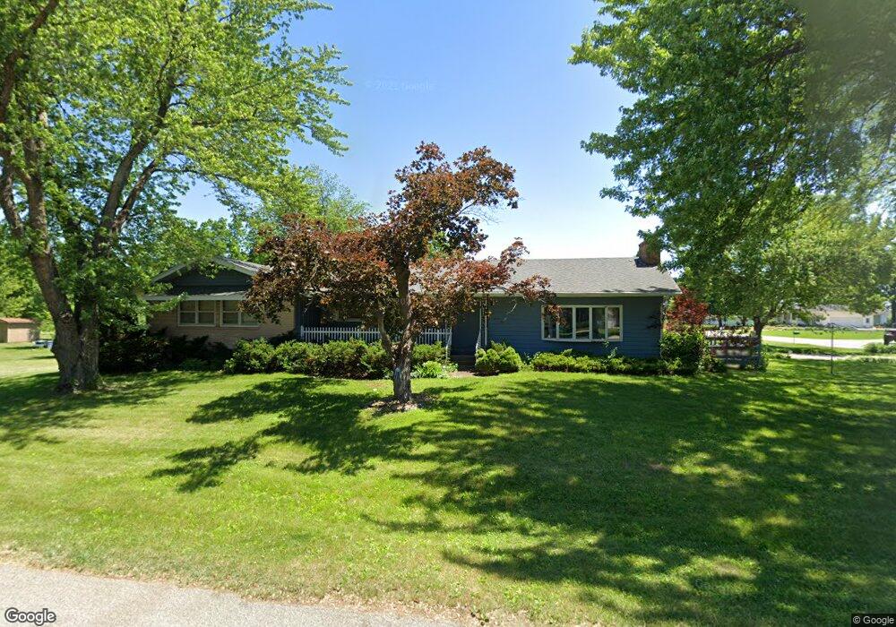
1028 Columbine Dr Cedar Falls, IA 50613
Estimated Value: $327,000 - $429,000
3
Beds
3
Baths
2,096
Sq Ft
$181/Sq Ft
Est. Value
About This Home
This home is located at 1028 Columbine Dr, Cedar Falls, IA 50613 and is currently estimated at $378,577, approximately $180 per square foot. 1028 Columbine Dr is a home located in Black Hawk County with nearby schools including Helen A. Hansen Elementary School, Holmes Junior High School, and Cedar Falls High School.
Ownership History
Date
Name
Owned For
Owner Type
Purchase Details
Closed on
Feb 15, 2024
Sold by
Behrends Zach
Bought by
Diesel D Ventures Llc
Current Estimated Value
Purchase Details
Closed on
Jan 10, 2024
Sold by
Sheriff Of Black Hawk County
Bought by
Heath Donald D and Kolsrud Nick
Purchase Details
Closed on
Nov 21, 2012
Sold by
Heath Nancy L
Bought by
Heath Donald D
Purchase Details
Closed on
Aug 22, 2006
Sold by
Heath Donald D and Heath Nancy
Bought by
Heath Donald D and Heath Nancy
Create a Home Valuation Report for This Property
The Home Valuation Report is an in-depth analysis detailing your home's value as well as a comparison with similar homes in the area
Home Values in the Area
Average Home Value in this Area
Purchase History
| Date | Buyer | Sale Price | Title Company |
|---|---|---|---|
| Diesel D Ventures Llc | -- | None Listed On Document | |
| Heath Donald D | $264,660 | None Listed On Document | |
| Heath Donald D | -- | None Available | |
| Heath Donald D | -- | Security First Title Co |
Source: Public Records
Tax History Compared to Growth
Tax History
| Year | Tax Paid | Tax Assessment Tax Assessment Total Assessment is a certain percentage of the fair market value that is determined by local assessors to be the total taxable value of land and additions on the property. | Land | Improvement |
|---|---|---|---|---|
| 2024 | $5,182 | $322,030 | $45,860 | $276,170 |
| 2023 | $5,318 | $322,030 | $45,860 | $276,170 |
| 2022 | $5,380 | $296,960 | $45,860 | $251,100 |
| 2021 | $4,312 | $296,960 | $45,860 | $251,100 |
| 2020 | $4,556 | $258,390 | $28,220 | $230,170 |
| 2019 | $4,556 | $258,390 | $28,220 | $230,170 |
| 2018 | $4,228 | $237,470 | $28,220 | $209,250 |
| 2017 | $4,322 | $237,470 | $28,220 | $209,250 |
| 2016 | $4,030 | $237,470 | $28,220 | $209,250 |
| 2015 | $4,030 | $236,820 | $28,220 | $208,600 |
| 2014 | $3,890 | $226,390 | $28,220 | $198,170 |
Source: Public Records
Map
Nearby Homes
- 4223 Normandy Dr
- 4214 Newland Dr
- 4320 Harvest Ln
- Lots 1-2 Nordic Dr
- Lots 3-4 Nordic Dr
- Lots 5-6 Nordic Dr
- 0 W Glen Development Land
- 4305 Autumn Ridge Rd Unit 214
- 4408 Granite Ridge Rd
- 455 Autumn Ln Unit 5
- 4528 Sonoma Dr
- 4534 Sonoma Dr
- 1522 Pebble Stone Place
- 4018 Keagles Crossing
- 405 Golden Ln
- 4718 Wild Horse Dr
- 4603 Sonoma Dr
- 435 Autumn Ln Unit 4
- 435 Autumn Ln Unit 2
- 435 Autumn Ln Unit 6
- 4317 Newland Dr
- 1120 Columbine Dr
- 4318 Normandy Dr
- 1109 Columbine Dr
- 1027 Columbine Dr
- 1017 Columbine Dr
- 1008 Columbine Dr
- 4318 Newland Dr
- 1003 Columbine Dr
- 4305 Newland Dr
- 4306 Normandy Dr
- 4306 Newland Dr
- 1121 Columbine Dr
- 4223 Newland Dr
- 4224 Normandy Dr
- 919 Columbine Dr
- 4317 Normandy Dr
- 4224 Newland Dr
- 920 Columbine Dr
- 4305 Normandy Dr