Estimated Value: $2,069,000 - $2,905,148
3
Beds
3
Baths
2,119
Sq Ft
$1,200/Sq Ft
Est. Value
About This Home
This home is located at 1028 Foster Point Rd, Orcas, WA 98280 and is currently estimated at $2,542,049, approximately $1,199 per square foot. 1028 Foster Point Rd is a home with nearby schools including Orcas Island Elementary School, Orcas Island Middle School, and Orcas Island High School.
Ownership History
Date
Name
Owned For
Owner Type
Purchase Details
Closed on
Jul 17, 2015
Sold by
Maffel Gregory and Maffel Sharon
Bought by
Hall Ayako K and Hall Michael G
Current Estimated Value
Home Financials for this Owner
Home Financials are based on the most recent Mortgage that was taken out on this home.
Original Mortgage
$350,000
Outstanding Balance
$206,466
Interest Rate
3.98%
Mortgage Type
New Conventional
Estimated Equity
$2,335,583
Create a Home Valuation Report for This Property
The Home Valuation Report is an in-depth analysis detailing your home's value as well as a comparison with similar homes in the area
Home Values in the Area
Average Home Value in this Area
Purchase History
| Date | Buyer | Sale Price | Title Company |
|---|---|---|---|
| Hall Ayako K | $549,820 | Chicago Title |
Source: Public Records
Mortgage History
| Date | Status | Borrower | Loan Amount |
|---|---|---|---|
| Open | Hall Ayako K | $350,000 |
Source: Public Records
Tax History Compared to Growth
Tax History
| Year | Tax Paid | Tax Assessment Tax Assessment Total Assessment is a certain percentage of the fair market value that is determined by local assessors to be the total taxable value of land and additions on the property. | Land | Improvement |
|---|---|---|---|---|
| 2024 | $13,487 | $2,689,400 | $752,500 | $1,936,900 |
| 2023 | $13,487 | $2,531,860 | $752,500 | $1,779,360 |
| 2022 | $11,715 | $2,187,980 | $602,000 | $1,585,980 |
| 2021 | $11,656 | $1,596,400 | $602,000 | $994,400 |
| 2020 | $14,243 | $1,516,600 | $602,000 | $914,600 |
| 2019 | $9,965 | $1,808,420 | $612,080 | $1,196,340 |
| 2018 | $6,355 | $1,899,340 | $1,255,710 | $643,630 |
| 2017 | $4,146 | $799,020 | $546,500 | $252,520 |
| 2016 | $4,257 | $573,810 | $573,810 | $0 |
| 2015 | $4,257 | $637,570 | $637,570 | $0 |
| 2014 | $4,257 | $483,260 | $310 | $0 |
| 2012 | $4,257 | $451,670 | $320 | $0 |
Source: Public Records
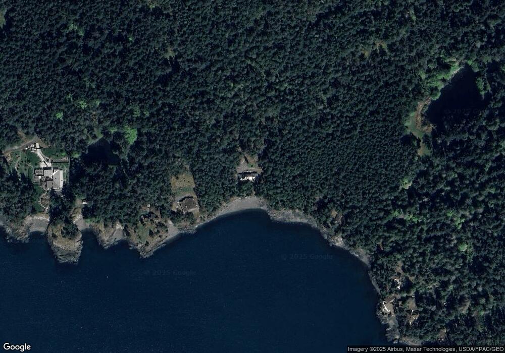
Map
Nearby Homes
- 86 Shag Rock Ln
- 296 Shag Rock Ln
- 125 Mossywoods Ln
- 72 Thunderbird Trail
- 652 Hurricane Hill Rd
- 297 Bay Head Rd
- 260 Grey Havens Loop
- 239 Killebrew Lake Rd
- 0 Diamond Hill Rd Unit NWM2431502
- 8286 Orcas Rd
- 8256 Orcas Rd
- 1637 Spring Hill Rd
- 162 Sea Ranch Rd
- 0 Newton Beach Rd
- 755 Ferry Rd
- 783 Ferry Rd
- 264 Shaw Park Rd
- 1700 Mountain Crest Dr
- 486 Wildwood Rd
- 1424 Palisades Dr
- 522 Foster Point Rd
- 519 Foster Point Rd
- 728 Grindstone Harbor Rd
- 690 Grindstone Harbor Rd
- 592 Grindstone Harbor Rd
- 503 Foster Point Rd
- 100 Grindstone Harbor Rd
- 910 Grindstone Harbor Rd
- 0 XXX Grindstone Harbor Rd
- 912 Grindstone Harbor Rd
- 1004 Grindstone Harbor Rd
- 914 Grindstone Harbor Rd
- 966 Grindstone Harbor Rd
- 108 White Beach Rd
- 108 White Beach Rd
- 1074 Grindstone Harbor Rd
- 12 Sedum Hill Rd
- 151 White Beach Rd
- 1110 Grindstone Harbor Rd