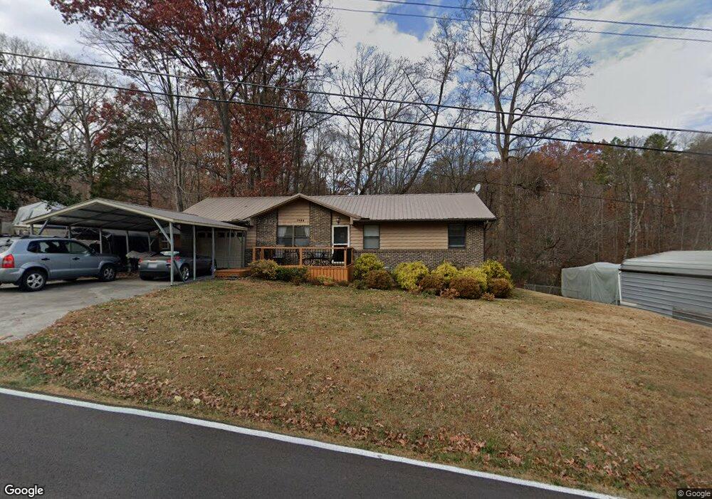
1028 Foust Carney Rd Powell, TN 37849
South Clinton NeighborhoodEstimated Value: $194,477 - $244,000
--
Bed
1
Bath
1,040
Sq Ft
$215/Sq Ft
Est. Value
About This Home
This home is located at 1028 Foust Carney Rd, Powell, TN 37849 and is currently estimated at $223,869, approximately $215 per square foot. 1028 Foust Carney Rd is a home located in Anderson County.
Ownership History
Date
Name
Owned For
Owner Type
Purchase Details
Closed on
Mar 7, 1988
Bought by
Stewart Everett L
Current Estimated Value
Purchase Details
Closed on
Jan 1, 1987
Bought by
Ogle Harold and Ogle Danny
Create a Home Valuation Report for This Property
The Home Valuation Report is an in-depth analysis detailing your home's value as well as a comparison with similar homes in the area
Home Values in the Area
Average Home Value in this Area
Purchase History
| Date | Buyer | Sale Price | Title Company |
|---|---|---|---|
| Stewart Everett L | $48,900 | -- | |
| Ogle Harold | $5,000 | -- |
Source: Public Records
Tax History Compared to Growth
Tax History
| Year | Tax Paid | Tax Assessment Tax Assessment Total Assessment is a certain percentage of the fair market value that is determined by local assessors to be the total taxable value of land and additions on the property. | Land | Improvement |
|---|---|---|---|---|
| 2024 | $665 | $25,300 | $4,625 | $20,675 |
| 2023 | $661 | $25,150 | $0 | $0 |
| 2022 | $661 | $25,150 | $4,625 | $20,525 |
| 2021 | $661 | $25,150 | $4,625 | $20,525 |
| 2020 | $571 | $25,150 | $4,625 | $20,525 |
| 2019 | $592 | $20,475 | $4,100 | $16,375 |
| 2018 | $599 | $20,475 | $4,100 | $16,375 |
| 2017 | $599 | $21,475 | $4,100 | $17,375 |
| 2016 | $599 | $21,475 | $4,100 | $17,375 |
| 2015 | -- | $21,475 | $4,100 | $17,375 |
| 2014 | -- | $21,475 | $4,100 | $17,375 |
| 2013 | -- | $24,200 | $0 | $0 |
Source: Public Records
Map
Nearby Homes
- 132 Edgewood Dr
- 135 Edgewood Heights Ln
- 120 East Cir
- 505 Foust Carney Rd
- 170 Cedar Cir
- 112 Glenn Cir
- 109 Glenn Cir
- 120 West Ln
- 110 Courtland Ln
- 3035 W Wolf Valley Rd
- 2215 Clinton Hwy
- 3225 W Wolf Valley Rd
- 0 Powder House Rd
- 161 Milligan Ln
- 3275 W Wolf Valley Rd
- 225 Over Mountain Ln
- 0 St James Ln Unit 1303175
- 0 Saint James Ln Unit 1313852
- 3341 W Wolf Valley Rd
- Lot 6 St James Ln
- 1024 Foust Carney Rd
- 1034 Foust Carney Rd
- 1020 Foust Carney Rd
- 1040 Foust Carney Rd
- 1033 Foust Carney Rd
- 1044 Foust Carney Rd
- 1037 Foust Carney Rd
- 0 Wilder Ln
- 1010 Foust Carney Rd
- 1025 Foust Carney Rd
- 1102 Foust Carney Rd
- 117 Skyline Ln
- 109 Skyline Ln
- 123 Skyline Ln
- 117 Hilltop Ln
- 414 N Dogwood Rd
- 105 Skyline Ln
- 1104 Foust Carney Rd
- 127 Skyline Ln
- 253 N Dogwood Rd