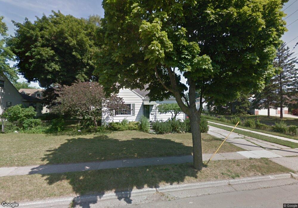
1028 Maple Ave Monroe, MI 48162
Northeast Monroe NeighborhoodEstimated Value: $175,002 - $214,000
Studio
--
Bath
1,470
Sq Ft
$131/Sq Ft
Est. Value
About This Home
This home is located at 1028 Maple Ave, Monroe, MI 48162 and is currently estimated at $192,751, approximately $131 per square foot. 1028 Maple Ave is a home located in Monroe County with nearby schools including Monroe High School, Zion Lutheran School, and St Mary's Catholic Elementary School.
Ownership History
Date
Name
Owned For
Owner Type
Purchase Details
Closed on
Oct 2, 1996
Sold by
Est Corrine Kitchen
Bought by
Younglove Mary E
Current Estimated Value
Home Financials for this Owner
Home Financials are based on the most recent Mortgage that was taken out on this home.
Original Mortgage
$89,550
Outstanding Balance
$8,156
Interest Rate
8%
Mortgage Type
New Conventional
Estimated Equity
$184,595
Create a Home Valuation Report for This Property
The Home Valuation Report is an in-depth analysis detailing your home's value as well as a comparison with similar homes in the area
Home Values in the Area
Average Home Value in this Area
Purchase History
| Date | Buyer | Sale Price | Title Company |
|---|---|---|---|
| Younglove Mary E | $89,900 | -- |
Source: Public Records
Mortgage History
| Date | Status | Borrower | Loan Amount |
|---|---|---|---|
| Open | Younglove Mary E | $89,550 |
Source: Public Records
Tax History
| Year | Tax Paid | Tax Assessment Tax Assessment Total Assessment is a certain percentage of the fair market value that is determined by local assessors to be the total taxable value of land and additions on the property. | Land | Improvement |
|---|---|---|---|---|
| 2025 | $1,629 | $81,700 | $81,700 | $0 |
| 2024 | $1,555 | $74,200 | $0 | $0 |
| 2023 | $1,487 | $64,830 | $0 | $0 |
| 2022 | $2,034 | $64,830 | $0 | $0 |
| 2021 | $1,968 | $60,240 | $0 | $0 |
| 2020 | $1,838 | $52,170 | $0 | $0 |
| 2019 | $1,747 | $52,170 | $0 | $0 |
| 2018 | $1,700 | $43,070 | $0 | $0 |
| 2017 | $1,668 | $43,070 | $0 | $0 |
| 2016 | $1,631 | $40,930 | $0 | $0 |
| 2015 | $1,592 | $44,020 | $0 | $0 |
| 2014 | $1,592 | $44,020 | $0 | $0 |
| 2013 | -- | $39,450 | $0 | $0 |
Source: Public Records
Map
Nearby Homes
- 1008 Maple Ave
- 623 Maywood Ave
- 434 Arbor Ave
- 603 Scottwood Ave
- 23 Linswood Dr
- 74 Linswood Dr
- 230 E Grove St
- 465 Riverview Ave
- E E Lorain St
- 942 Elliot St
- 734 N Monroe St
- 525 N Macomb St
- 422 Lapoint Ave
- 702 N Monroe St
- 425 Fern Ct
- 310 E Noble Ave
- 229 Michigan Ave
- 20 W Grove St
- 1290 N Monroe St Unit B
- 1290 N Monroe St Unit A
- 1036 Maple Ave
- 1012 Maple Ave
- 1027 Michigan Ave
- 1023 Michigan Ave
- 1042 Maple Ave
- 1015 Michigan Ave
- 1031 Michigan Ave
- 1041 Michigan Ave
- 1048 Maple Ave
- 1043 Michigan Ave
- 1007 Michigan Ave
- 1004 Maple Ave
- 1047 Michigan Ave
- 1001 Michigan Ave
- 1102 Maple Ave
- 1006 Michigan Ave
- 1024 Michigan Ave
- 1028 Michigan Ave
- 619 Maywood Ave
- 925 Michigan Ave
Your Personal Tour Guide
Ask me questions while you tour the home.