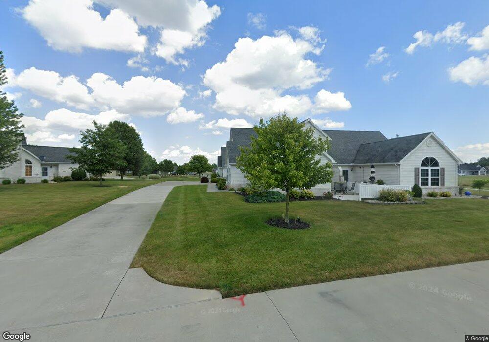
1028 Mohawk Way Unit 1028 Wauseon, OH 43567
Estimated Value: $214,000 - $263,000
2
Beds
2
Baths
1,429
Sq Ft
$162/Sq Ft
Est. Value
About This Home
This home is located at 1028 Mohawk Way Unit 1028, Wauseon, OH 43567 and is currently estimated at $230,921, approximately $161 per square foot. 1028 Mohawk Way Unit 1028 is a home located in Fulton County with nearby schools including Wauseon Primary School, Wauseon Elementary School, and Wauseon Middle School.
Ownership History
Date
Name
Owned For
Owner Type
Purchase Details
Closed on
Nov 30, 2018
Sold by
Wines Robert J and Wines Susan M
Bought by
Good Leland K
Current Estimated Value
Purchase Details
Closed on
Sep 28, 2018
Sold by
Estate Of Rita Zielinski
Bought by
Wines Robert J and Wines Susan M
Purchase Details
Closed on
Jun 30, 2018
Sold by
Wines Robert J and Wines Susan M
Bought by
Wines Robert J and Wines Susan M
Purchase Details
Closed on
Dec 4, 2006
Sold by
Ottawa Developers Llp
Bought by
Zielinski Rita B
Create a Home Valuation Report for This Property
The Home Valuation Report is an in-depth analysis detailing your home's value as well as a comparison with similar homes in the area
Home Values in the Area
Average Home Value in this Area
Purchase History
| Date | Buyer | Sale Price | Title Company |
|---|---|---|---|
| Good Leland K | $143,000 | None Available | |
| Wines Robert J | -- | None Available | |
| Wines Robert J | -- | None Available | |
| Zielinski Rita B | $142,400 | None Available |
Source: Public Records
Tax History Compared to Growth
Tax History
| Year | Tax Paid | Tax Assessment Tax Assessment Total Assessment is a certain percentage of the fair market value that is determined by local assessors to be the total taxable value of land and additions on the property. | Land | Improvement |
|---|---|---|---|---|
| 2024 | $2,477 | $59,640 | $420 | $59,220 |
| 2023 | $2,521 | $59,640 | $420 | $59,220 |
| 2022 | $2,655 | $54,180 | $350 | $53,830 |
| 2021 | $2,775 | $54,180 | $350 | $53,830 |
| 2020 | $2,603 | $54,180 | $350 | $53,830 |
| 2019 | $2,430 | $50,540 | $350 | $50,190 |
| 2018 | $2,561 | $50,540 | $350 | $50,190 |
| 2017 | $2,523 | $50,540 | $350 | $50,190 |
| 2016 | $2,359 | $50,540 | $350 | $50,190 |
| 2015 | $2,327 | $50,540 | $350 | $50,190 |
| 2014 | $2,207 | $50,540 | $350 | $50,190 |
| 2013 | $1,737 | $40,610 | $1,020 | $39,590 |
Source: Public Records
Map
Nearby Homes
- 1209 Apache Dr
- Integrity 1830 Plan at Arrowhead Trails
- integrity 2280 Plan at Arrowhead Trails
- Integrity 2080 Plan at Arrowhead Trails
- 1062 Seneca Dr
- 1090 Seneca Dr
- 1058 Seneca Dr
- 1066 Seneca Dr
- 801 N Shoop Ave
- 13242 Us Highway 20a
- 13354 U S 20a
- 527 E Elm St
- 351 E Walnut St
- 00 Glenwood
- 0 Glenwood Unit 6124946
- 460 Airport Hwy
- 911 Doris Dr
- 217 Marshall St
- 139 Marshall St
- 303 Eastwood St
- 1022 Mohawk Way Unit 1022
- 1024 Mohawk Way Unit 1024
- 1026 Mohawk Way Unit 1026
- 1034 Mohawk Way
- 934 Arrowhead Trail
- 1032 Mohawk Way
- 930 Arrowhead Trail
- 1023 Mohawk Way
- 0 Mohawk Way Unit 4505598
- 0 Mohawk Way Unit 4649078
- 0 Mohawk Way Unit 4505603
- 0 Mohawk Way Unit 4505606
- 0 Mohawk Way Unit 4505601
- 0 Mohawk Way Unit 4626752
- 0 Mohawk Way Unit 4522651
- 0 Mohawk Way Unit 4522649
- 0 Mohawk Way Unit 4522647
- 4 Mohawk Way
- 0 Mohawk Way Unit 2 4505601
- 0 Mohawk Way Unit 2 4522649