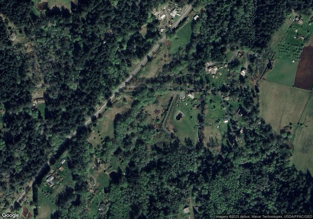
1028 Point Lawrence Rd Olga, WA 98279
Estimated Value: $1,350,000 - $1,772,000
3
Beds
4
Baths
3,314
Sq Ft
$469/Sq Ft
Est. Value
About This Home
This home is located at 1028 Point Lawrence Rd, Olga, WA 98279 and is currently estimated at $1,554,123, approximately $468 per square foot. 1028 Point Lawrence Rd is a home with nearby schools including Orcas Island Elementary School, Orcas Island Middle School, and Orcas Island High School.
Ownership History
Date
Name
Owned For
Owner Type
Purchase Details
Closed on
Jun 10, 2022
Sold by
Thomas Wendy E
Bought by
Dickey Kevin Vail
Current Estimated Value
Purchase Details
Closed on
Jan 31, 2008
Sold by
Hamilton Matthew
Bought by
Thomas Wendy E
Home Financials for this Owner
Home Financials are based on the most recent Mortgage that was taken out on this home.
Original Mortgage
$417,000
Interest Rate
6.09%
Mortgage Type
Unknown
Create a Home Valuation Report for This Property
The Home Valuation Report is an in-depth analysis detailing your home's value as well as a comparison with similar homes in the area
Home Values in the Area
Average Home Value in this Area
Purchase History
| Date | Buyer | Sale Price | Title Company |
|---|---|---|---|
| Dickey Kevin Vail | -- | None Listed On Document | |
| Thomas Wendy E | -- | San Juan Title Llc |
Source: Public Records
Mortgage History
| Date | Status | Borrower | Loan Amount |
|---|---|---|---|
| Previous Owner | Thomas Wendy E | $417,000 |
Source: Public Records
Tax History Compared to Growth
Tax History
| Year | Tax Paid | Tax Assessment Tax Assessment Total Assessment is a certain percentage of the fair market value that is determined by local assessors to be the total taxable value of land and additions on the property. | Land | Improvement |
|---|---|---|---|---|
| 2024 | $7,547 | $1,616,940 | $270,800 | $1,346,140 |
| 2023 | $7,547 | $1,398,560 | $216,640 | $1,181,920 |
| 2022 | $8,486 | $1,246,360 | $216,640 | $1,029,720 |
| 2021 | $7,601 | $1,148,340 | $199,220 | $949,120 |
| 2020 | $7,924 | $982,340 | $199,220 | $783,120 |
| 2019 | $7,651 | $998,540 | $199,220 | $799,320 |
| 2018 | $6,466 | $1,588,940 | $958,440 | $630,500 |
| 2017 | $4,997 | $810,070 | $211,220 | $598,850 |
| 2016 | $4,695 | $689,190 | $221,780 | $467,410 |
| 2015 | $4,695 | $687,770 | $211,220 | $476,550 |
| 2014 | $4,695 | $652,030 | $192,020 | $460,010 |
| 2012 | $4,695 | $705,360 | $4,450 | $535,950 |
Source: Public Records
Map
Nearby Homes
- 0 Lot B Pioneer Hill Rd
- 808 Pioneer Hill Rd
- 245 Roehls Hill Rd
- 33 Barnacle Ln
- 202 Avilion Place
- 0 Lot 27 Peavine Way
- 0 Lot 26 Peavine Way
- 1424 Palisades Dr
- 242 Marina Heights Ln
- 63 Marina Heights Ln
- 557 Old Sentinel Rd
- 260 Grey Havens Loop
- 0 000 Upper Cow Hill Rd
- 1917 Rosario Rd Unit 2104
- 1800 Rosario Rd
- 2087 Rosario Rd
- 121 Marine Dr
- 209 Marine Dr
- 155 Dragonfly Dr
- 215 Marine Dr
- 1022 Point Lawrence Rd
- 1030 Point Lawrence Rd
- 1030 Point Lawrence Rd
- 972 Point Lawrence Rd
- 1020 Point Lawrence Rd
- 1179 Point Lawrence Rd
- 161 Palloyed Way
- 940 Point Lawrence Rd
- 184 Palloyed Dr
- 850 Point Lawrence Rd
- 975 Point Lawrence Rd
- 163 Palloyed Dr
- 0 Palloyed Unit 1045782
- 136 Belle Ln
- 0 Pioneer Hill Rd Unit 844246
- 0 Pioneer Hill Rd Unit 1055160
- 0 Pioneer Hill Rd Unit 1148396
- 0 Pioneer Hill Rd Unit 940585
- 0 Pioneer Hill Rd Unit 1491508
- 856 Pioneer Hill Rd
