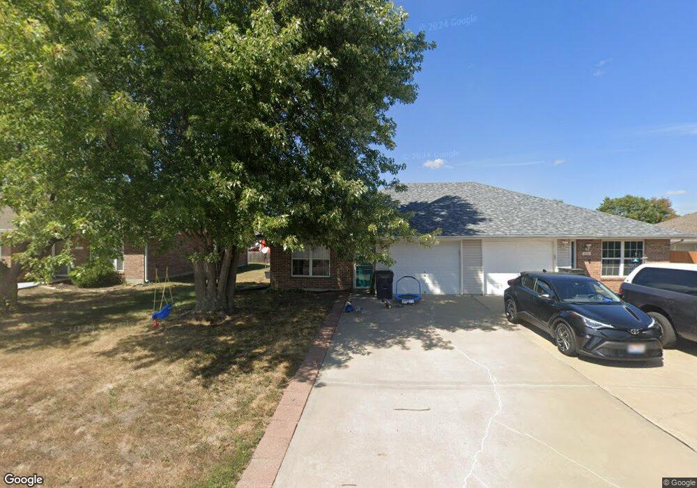
1028 SW Sandy Ln Grain Valley, MO 64029
Estimated Value: $172,000 - $196,000
2
Beds
1
Bath
944
Sq Ft
$191/Sq Ft
Est. Value
About This Home
This home is located at 1028 SW Sandy Ln, Grain Valley, MO 64029 and is currently estimated at $180,318, approximately $191 per square foot. 1028 SW Sandy Ln is a home located in Jackson County with nearby schools including Grain Valley High School.
Ownership History
Date
Name
Owned For
Owner Type
Purchase Details
Closed on
Sep 24, 2009
Sold by
Secretary Of Housing & Urban Development
Bought by
Rhodes Rachael Marie
Current Estimated Value
Home Financials for this Owner
Home Financials are based on the most recent Mortgage that was taken out on this home.
Original Mortgage
$41,900
Outstanding Balance
$27,277
Interest Rate
5.1%
Mortgage Type
New Conventional
Estimated Equity
$153,041
Purchase Details
Closed on
Jan 16, 2008
Sold by
Wst Inc
Bought by
Craig Porter Development Llc
Purchase Details
Closed on
Jun 10, 2002
Sold by
Beneficial Mtg Co Of Missouri Inc
Bought by
Zavaleta Jose A and Zaveleta Marta G
Home Financials for this Owner
Home Financials are based on the most recent Mortgage that was taken out on this home.
Original Mortgage
$68,820
Interest Rate
6.89%
Mortgage Type
FHA
Purchase Details
Closed on
Feb 27, 2002
Sold by
Glendenning Angela M
Bought by
Beneficial Mtg Co Of Missouri Inc
Create a Home Valuation Report for This Property
The Home Valuation Report is an in-depth analysis detailing your home's value as well as a comparison with similar homes in the area
Home Values in the Area
Average Home Value in this Area
Purchase History
| Date | Buyer | Sale Price | Title Company |
|---|---|---|---|
| Rhodes Rachael Marie | -- | None Available | |
| Craig Porter Development Llc | -- | None Available | |
| Zavaleta Jose A | $69,900 | -- | |
| Beneficial Mtg Co Of Missouri Inc | $66,090 | -- |
Source: Public Records
Mortgage History
| Date | Status | Borrower | Loan Amount |
|---|---|---|---|
| Open | Rhodes Rachael Marie | $41,900 | |
| Previous Owner | Zavaleta Jose A | $68,820 |
Source: Public Records
Tax History Compared to Growth
Tax History
| Year | Tax Paid | Tax Assessment Tax Assessment Total Assessment is a certain percentage of the fair market value that is determined by local assessors to be the total taxable value of land and additions on the property. | Land | Improvement |
|---|---|---|---|---|
| 2025 | $1,809 | $23,368 | $4,374 | $18,994 |
| 2024 | $1,741 | $21,958 | $2,058 | $19,900 |
| 2023 | $1,741 | $21,958 | $3,228 | $18,730 |
| 2022 | $1,602 | $17,670 | $1,958 | $15,712 |
| 2021 | $1,564 | $17,670 | $1,958 | $15,712 |
| 2020 | $1,387 | $15,450 | $1,958 | $13,492 |
| 2019 | $1,359 | $15,450 | $1,958 | $13,492 |
| 2018 | $1,265 | $13,447 | $1,704 | $11,743 |
| 2017 | $1,233 | $13,447 | $1,704 | $11,743 |
| 2016 | $1,233 | $13,110 | $2,052 | $11,058 |
| 2014 | $1,133 | $11,951 | $2,054 | $9,897 |
Source: Public Records
Map
Nearby Homes
- 1024 Christie Ln
- 636 SW Lakeview Dr
- 509 SW Joseph Ct
- 200 Cross Creek Ln
- 209 SW Cross Creek Dr
- 1215 SW Lone Star Ct
- 725 SW Tisha Ln
- 207 Pebblebrook St
- 714 SW Brome Dr
- 1418 SW Blue Branch Dr
- 640 SW Crestview Dr
- 1214 SW Windcrest Ct
- 401 S Minter Rd
- 1219 SW Windcrest Ct
- 506 SW Meadowood Dr
- 1309 SW Graystone Cir
- 719 S Minter Rd
- 1203 SW Lakeview Dr
- 913 SW Abar Dr
- 621 SW Tisha Ln
- 1030 SW Sandy Ln
- 1024 SW Sandy Ln
- 1022 Sandy Ln
- 1100 SW Sandy Ln
- 1029 Christie Ln
- 1031 Christie Ln
- 1025 Christie Ln
- 1018 SW Sandy Ln
- 1029 SW Sandy Ln
- 1025 SW Sandy Ln
- 1021 SW Sandy Ln
- 1021 Christie Ln
- 1019 Christie Ln
- 1103 Christie Ln
- 1101 Christie Ln
- 214 NE Greystone Way
- 214 NE Greystone Way
- 213 NE Greystone Way
- 208 NE Greystone Way
- 1104 SW Sandy Ln