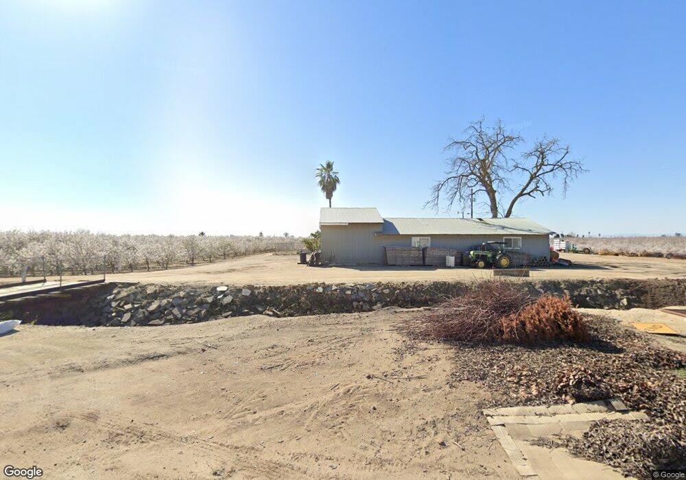
10285 W Nielsen Ave Fresno, CA 93723
Estimated Value: $698,092
--
Bed
--
Bath
890,802
Sq Ft
$1/Sq Ft
Est. Value
About This Home
This home is located at 10285 W Nielsen Ave, Fresno, CA 93723 and is currently estimated at $698,092, approximately $0 per square foot. 10285 W Nielsen Ave is a home located in Fresno County with nearby schools including Houghton-Kearney Elementary School and Central East High School.
Ownership History
Date
Name
Owned For
Owner Type
Purchase Details
Closed on
Jan 9, 2015
Sold by
Mehling Jeremy and Mehling Britney
Bought by
The J & B Mehling Living Trust
Current Estimated Value
Purchase Details
Closed on
Mar 29, 2011
Sold by
Mehling Mary A
Bought by
Mehling Jeremy and Mehling Britney
Home Financials for this Owner
Home Financials are based on the most recent Mortgage that was taken out on this home.
Original Mortgage
$165,000
Interest Rate
4.83%
Mortgage Type
Unknown
Create a Home Valuation Report for This Property
The Home Valuation Report is an in-depth analysis detailing your home's value as well as a comparison with similar homes in the area
Home Values in the Area
Average Home Value in this Area
Purchase History
| Date | Buyer | Sale Price | Title Company |
|---|---|---|---|
| The J & B Mehling Living Trust | -- | None Available | |
| Mehling Jeremy | $235,500 | Fidelity National Title Co |
Source: Public Records
Mortgage History
| Date | Status | Borrower | Loan Amount |
|---|---|---|---|
| Previous Owner | Mehling Jeremy | $165,000 |
Source: Public Records
Tax History Compared to Growth
Tax History
| Year | Tax Paid | Tax Assessment Tax Assessment Total Assessment is a certain percentage of the fair market value that is determined by local assessors to be the total taxable value of land and additions on the property. | Land | Improvement |
|---|---|---|---|---|
| 2025 | $6,322 | $352,304 | $237,013 | $115,291 |
| 2023 | $6,013 | $338,625 | $227,810 | $110,815 |
| 2022 | $5,045 | $331,987 | $223,344 | $108,643 |
| 2021 | $5,047 | $325,478 | $218,965 | $106,513 |
| 2020 | $3,979 | $250,880 | $216,720 | $34,160 |
| 2019 | $3,904 | $245,962 | $212,471 | $33,491 |
| 2018 | $3,807 | $241,140 | $208,305 | $32,835 |
| 2017 | $3,791 | $236,413 | $204,221 | $32,192 |
| 2016 | $3,313 | $232,683 | $200,217 | $32,466 |
| 2015 | $3,480 | $232,989 | $197,210 | $35,779 |
| 2014 | $3,492 | $228,900 | $193,347 | $35,553 |
Source: Public Records
Map
Nearby Homes
- 350 N Floyd Ave
- 0 N Unit btwn N. Rolinda & N.
- 10200 W Mckinley Ave
- 0 W Dan Ronquillo Dr S Roeding D Unit 636403
- 10166 W Olive Ave
- 6674 W Mckinley Ave
- 1 S Bishop Ave
- 5395 N Garfield Ave
- 1328 N Grantland Ave
- 3420 Vaughan Ave
- 3382 Gorma Ave
- 3418 Gorma Ave
- 2210 N Grantland Ave
- 1384 N Ensley Ln
- 4281 N Rolinda Ave
- 2590 N Grantland Ave
- 14288 W El Mar Ave
- 8280 W Ashlan Ave
- 315 S Bordeaux Ave
- 17 Acre Lot McKinley & Hayes
- 655 N Dickenson Ave
- 10330 W Belmont Ave
- 0 S Dickenson Ave
- 9900 W Whites Bridge Ave
- 9874 W Whites Bridge Ave
- 9874 W Whites Bridge Ave
- 0 N Jameson Ave
- 1224 N Dower Ave
- 9658 W Whites Bridge Ave
- 587 N Rolinda Ave
- 123 N Rolinda Ave
- 9584 W Whites Bridge Ave
- 424 N Rolinda Ave
- 9603 W Whites Bridge Ave
- 9568 W Whites Bridge Ave
- 11015 W Belmont Ave
- 27 S Rolinda Ave
- 344 S Dickenson Ave
- 9505 W Whites Bridge Ave
- 1107 N Jameson Ave