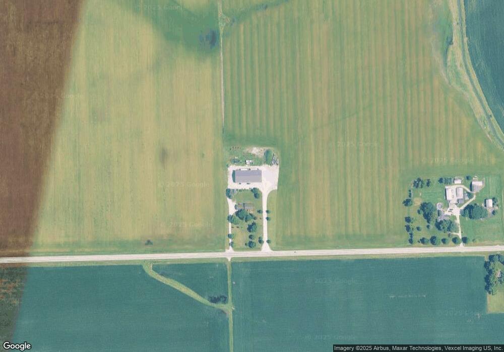
10289 Caton Farm Rd Minooka, IL 60447
North Minooka NeighborhoodEstimated Value: $814,530 - $873,000
--
Bed
--
Bath
3,624
Sq Ft
$234/Sq Ft
Est. Value
About This Home
This home is located at 10289 Caton Farm Rd, Minooka, IL 60447 and is currently estimated at $846,510, approximately $233 per square foot. 10289 Caton Farm Rd is a home located in Kendall County with nearby schools including Jones Elementary School, Minooka Junior High School, and Minooka Intermediate School.
Ownership History
Date
Name
Owned For
Owner Type
Purchase Details
Closed on
Jan 20, 2017
Sold by
Robinson Charles P
Bought by
Robinson Wesley A and Robinson Linda
Current Estimated Value
Purchase Details
Closed on
Dec 29, 2016
Sold by
Robinson Charles R
Bought by
Robinson Cynthia L
Create a Home Valuation Report for This Property
The Home Valuation Report is an in-depth analysis detailing your home's value as well as a comparison with similar homes in the area
Home Values in the Area
Average Home Value in this Area
Purchase History
| Date | Buyer | Sale Price | Title Company |
|---|---|---|---|
| Robinson Wesley A | -- | Attorney | |
| Robinson Cynthia L | -- | Attorney | |
| Robinson Charles R | -- | Attorney |
Source: Public Records
Tax History Compared to Growth
Tax History
| Year | Tax Paid | Tax Assessment Tax Assessment Total Assessment is a certain percentage of the fair market value that is determined by local assessors to be the total taxable value of land and additions on the property. | Land | Improvement |
|---|---|---|---|---|
| 2024 | $17,423 | $226,387 | $23,060 | $203,327 |
| 2023 | $17,685 | $224,985 | $23,010 | $201,975 |
| 2022 | $17,685 | $205,451 | $20,727 | $184,724 |
| 2021 | $17,221 | $193,816 | $20,677 | $173,139 |
| 2020 | $16,582 | $183,996 | $19,451 | $164,545 |
| 2019 | $16,048 | $177,245 | $18,591 | $158,654 |
| 2018 | $15,896 | $170,563 | $18,551 | $152,012 |
| 2017 | $15,707 | $162,998 | $18,521 | $144,477 |
| 2016 | $14,946 | $152,951 | $18,267 | $134,684 |
| 2015 | $15,629 | $152,921 | $18,237 | $134,684 |
| 2014 | -- | $149,293 | $14,609 | $134,684 |
| 2013 | -- | $149,253 | $14,569 | $134,684 |
Source: Public Records
Map
Nearby Homes
- 15781 Brisbin Rd
- 15771 Brisbin Rd
- 2811 Ninovan Ln
- 2823 Ninovan Ln
- 2817 Ninovan Ln
- 2812 Ninovan Ln
- 2813 Ninovan Ln
- 215 Slalom Ct
- 1133 Coneflower Ct
- 16 Maple St
- 10175 Brown Rd
- 6010 E Minooka Rd
- 3180 E North Rd
- 2041 Isabella Ln
- 2033 Isabella
- 194 acres W Holt Rd
- Lot 1 Minooka Ridge & Jones Rd
- 10808 N Tabler Rd
- 10810 Tabler Rd
- 814 Daniel Dr