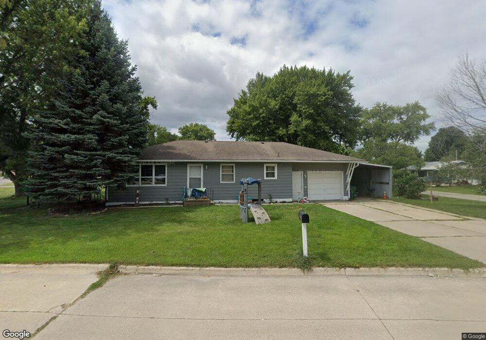
1029 7th Ave SW Independence, IA 50644
Estimated Value: $157,562 - $169,000
3
Beds
1
Bath
1,040
Sq Ft
$155/Sq Ft
Est. Value
About This Home
This home is located at 1029 7th Ave SW, Independence, IA 50644 and is currently estimated at $161,641, approximately $155 per square foot. 1029 7th Ave SW is a home located in Buchanan County with nearby schools including West Elementary School, East Elementary School, and Independence Junior/Senior High School.
Ownership History
Date
Name
Owned For
Owner Type
Purchase Details
Closed on
Aug 28, 2020
Sold by
Arias Jenice M and Arias Eduardo
Bought by
Grigg Alexa N and Grigg Jayson T
Current Estimated Value
Home Financials for this Owner
Home Financials are based on the most recent Mortgage that was taken out on this home.
Original Mortgage
$94,960
Outstanding Balance
$84,271
Interest Rate
2.9%
Mortgage Type
New Conventional
Estimated Equity
$77,370
Create a Home Valuation Report for This Property
The Home Valuation Report is an in-depth analysis detailing your home's value as well as a comparison with similar homes in the area
Home Values in the Area
Average Home Value in this Area
Purchase History
| Date | Buyer | Sale Price | Title Company |
|---|---|---|---|
| Grigg Alexa N | $119,000 | None Available |
Source: Public Records
Mortgage History
| Date | Status | Borrower | Loan Amount |
|---|---|---|---|
| Open | Grigg Alexa N | $94,960 |
Source: Public Records
Tax History Compared to Growth
Tax History
| Year | Tax Paid | Tax Assessment Tax Assessment Total Assessment is a certain percentage of the fair market value that is determined by local assessors to be the total taxable value of land and additions on the property. | Land | Improvement |
|---|---|---|---|---|
| 2025 | $2,448 | $136,250 | $15,430 | $120,820 |
| 2024 | $2,448 | $119,230 | $13,780 | $105,450 |
| 2023 | $2,395 | $119,230 | $13,780 | $105,450 |
| 2022 | $2,213 | $100,370 | $10,930 | $89,440 |
| 2021 | $1,989 | $100,370 | $10,930 | $89,440 |
| 2020 | $1,686 | $82,740 | $9,940 | $72,800 |
| 2019 | $1,662 | $82,740 | $9,940 | $72,800 |
| 2018 | $1,588 | $80,680 | $9,940 | $70,740 |
| 2017 | $1,598 | $80,680 | $9,940 | $70,740 |
| 2016 | $1,570 | $79,930 | $5,910 | $74,020 |
| 2015 | $1,570 | $79,930 | $5,910 | $74,020 |
| 2014 | $1,602 | $79,930 | $5,910 | $74,020 |
Source: Public Records
Map
Nearby Homes
- 1020 6th Ave SW
- 810 3rd Ave SW
- 1606 Kellie Ave SW
- 206 8th St SW
- 406 6th Ave SW
- 513 4th St SW
- 508 2nd Ave SW
- 312 7th Ave NE
- 2325 Jamestown Ave
- 400 2nd St NW
- 300 4th St SW
- 519 3rd St SE
- 721 8th St SE
- 1706 2nd St SW
- 808 5th St NW
- 401 Obrien Ct NW
- 507 2nd Ave NE
- 611 3rd St NE
- 809 8th St NW
- 713 9th Ave NW
- 706 Bland Blvd
- 712 Bland Blvd
- 1019 7th Ave SW
- 614 Bland Blvd
- 706 10th Street Place SW
- 709 10th Street Place SW
- 613 Bland Blvd
- 610 Bland Blvd
- 615 Bland Blvd
- 720 Bland Blvd
- 1018 7th Ave SW
- 710 10th Street Place SW
- 1015 7th Ave SW
- 607 Bland Blvd
- 1102 David Dr
- 1019 6th Ave SW
- 1011 7th Ave SW
- 1100 David Dr
- 722 Bland Blvd
- 1106 David Dr