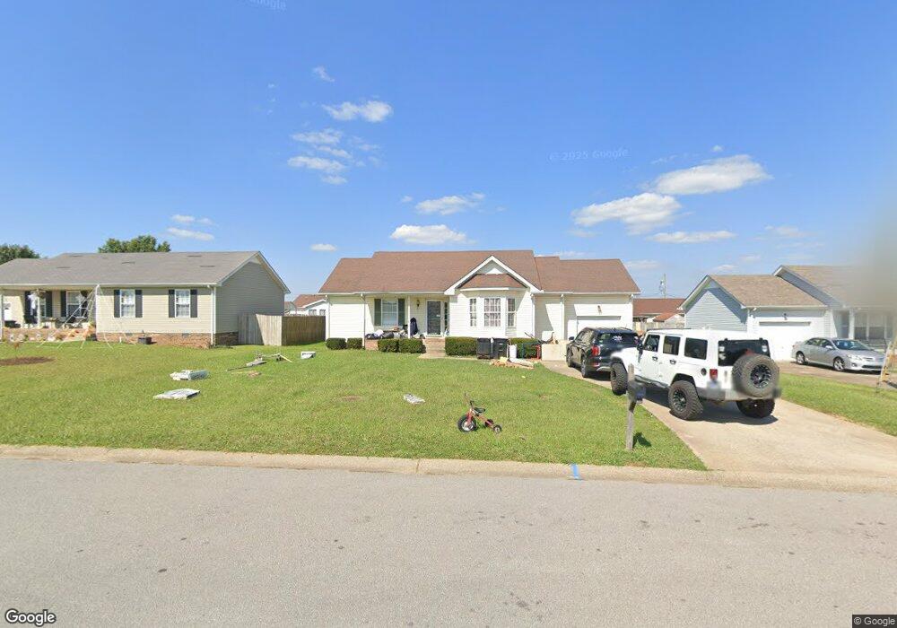
1029 Bobcat Dr Clarksville, TN 37042
Estimated Value: $210,559 - $238,000
--
Bed
2
Baths
1,128
Sq Ft
$203/Sq Ft
Est. Value
About This Home
This home is located at 1029 Bobcat Dr, Clarksville, TN 37042 and is currently estimated at $229,390, approximately $203 per square foot. 1029 Bobcat Dr is a home located in Montgomery County with nearby schools including West Creek Elementary School, Kenwood Middle School, and Kenwood High School.
Ownership History
Date
Name
Owned For
Owner Type
Purchase Details
Closed on
Feb 3, 2021
Sold by
Schillo Shirley Kay and S Kay Schillo Revocable Trust
Bought by
Schillo Prop Llc Series 1029 Bobcat Driv
Current Estimated Value
Purchase Details
Closed on
Sep 16, 2020
Sold by
Schillo Shirley Kay
Bought by
Schillo Shirley Kay and S Kay Schillo Revocable Trust
Purchase Details
Closed on
Jan 29, 1998
Sold by
Duncan Donald R
Bought by
Hughes Craig A
Home Financials for this Owner
Home Financials are based on the most recent Mortgage that was taken out on this home.
Original Mortgage
$75,786
Interest Rate
7%
Create a Home Valuation Report for This Property
The Home Valuation Report is an in-depth analysis detailing your home's value as well as a comparison with similar homes in the area
Home Values in the Area
Average Home Value in this Area
Purchase History
| Date | Buyer | Sale Price | Title Company |
|---|---|---|---|
| Schillo Prop Llc Series 1029 Bobcat Driv | -- | None Available | |
| Schillo Shirley Kay | -- | None Available | |
| Hughes Craig A | $74,300 | -- |
Source: Public Records
Mortgage History
| Date | Status | Borrower | Loan Amount |
|---|---|---|---|
| Previous Owner | Hughes Craig A | $75,786 |
Source: Public Records
Tax History Compared to Growth
Tax History
| Year | Tax Paid | Tax Assessment Tax Assessment Total Assessment is a certain percentage of the fair market value that is determined by local assessors to be the total taxable value of land and additions on the property. | Land | Improvement |
|---|---|---|---|---|
| 2024 | $1,571 | $52,700 | $0 | $0 |
| 2023 | $1,571 | $28,525 | $0 | $0 |
| 2022 | $1,204 | $28,525 | $0 | $0 |
| 2021 | $1,204 | $28,525 | $0 | $0 |
| 2020 | $854 | $28,550 | $0 | $0 |
| 2019 | $1,148 | $28,550 | $0 | $0 |
| 2018 | $1,168 | $24,700 | $0 | $0 |
| 2017 | $336 | $27,100 | $0 | $0 |
| 2016 | $832 | $27,100 | $0 | $0 |
| 2015 | $1,142 | $27,100 | $0 | $0 |
| 2014 | $1,127 | $27,100 | $0 | $0 |
| 2013 | $1,084 | $24,750 | $0 | $0 |
Source: Public Records
Map
Nearby Homes
- 1030 Mile High Dr
- 1073 Bobcat Dr
- 1009 Fillmore Ct
- 1354 Whitt Ln
- 657 Peachers Mill Rd
- 1308 Sonja Dr
- 1419 Janet Way Dr
- 1496 Buchanon Dr
- 1397 Shady Hill Ct
- 1478 McClardy Rd
- 1145 Ishee Dr
- 809 Amanda Dr
- 1412 McClardy Rd
- 722 Banister Dr
- 472 Mirren Cir
- 1046 Dwight Eisenhower Way
- 752 Crestone Ln
- 744 Banister Dr
- 1035 Dwight Eisenhower Way
- 1026 Van Buren Ct
- 1033 Bobcat Dr
- 1042 Mile High Dr
- 1046 Mile High Dr
- 1038 Mile High Dr
- 1021 Bobcat Dr
- 1037 Bobcat Dr
- 1306 Sharptail Trail
- 1307 Sharptail Trail
- 1034 Mile High Dr
- 1316 Burchett Dr
- 1022 Bobcat Dr
- 1017 Bobcat Dr
- 1034 Bobcat Dr
- 1018 Bobcat Dr
- 0 Mile High Ct Unit 1828570
- 0 Mile High Ct Unit RTC2468155
- 0 Mile High Ct Unit 2280124
- 1038 Bobcat Dr
- 1013 Bobcat Dr
- 1321 Mile High Ct