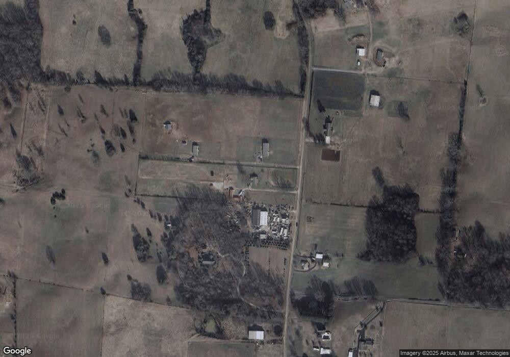
1029 Buffalo Rd Jefferson City, TN 37760
Estimated Value: $235,000 - $372,000
--
Bed
2
Baths
1,032
Sq Ft
$278/Sq Ft
Est. Value
About This Home
This home is located at 1029 Buffalo Rd, Jefferson City, TN 37760 and is currently estimated at $287,313, approximately $278 per square foot. 1029 Buffalo Rd is a home located in Jefferson County.
Ownership History
Date
Name
Owned For
Owner Type
Purchase Details
Closed on
Oct 14, 2016
Sold by
Fox Norman G
Bought by
Peters Misty N
Current Estimated Value
Home Financials for this Owner
Home Financials are based on the most recent Mortgage that was taken out on this home.
Original Mortgage
$128,000
Outstanding Balance
$102,746
Interest Rate
3.5%
Mortgage Type
New Conventional
Estimated Equity
$184,567
Purchase Details
Closed on
Nov 7, 1984
Bought by
Fox Norman G and Fox Melissa U
Purchase Details
Closed on
Jan 1, 1983
Purchase Details
Closed on
Jan 1, 1978
Create a Home Valuation Report for This Property
The Home Valuation Report is an in-depth analysis detailing your home's value as well as a comparison with similar homes in the area
Home Values in the Area
Average Home Value in this Area
Purchase History
| Date | Buyer | Sale Price | Title Company |
|---|---|---|---|
| Peters Misty N | $160,000 | -- | |
| Fox Norman G | -- | -- | |
| -- | $11,500 | -- | |
| -- | $1,700 | -- |
Source: Public Records
Mortgage History
| Date | Status | Borrower | Loan Amount |
|---|---|---|---|
| Open | Peters Misty N | $128,000 |
Source: Public Records
Tax History Compared to Growth
Tax History
| Year | Tax Paid | Tax Assessment Tax Assessment Total Assessment is a certain percentage of the fair market value that is determined by local assessors to be the total taxable value of land and additions on the property. | Land | Improvement |
|---|---|---|---|---|
| 2025 | $889 | $63,325 | $21,000 | $42,325 |
| 2023 | $889 | $38,650 | $0 | $0 |
| 2022 | $846 | $38,650 | $19,175 | $19,475 |
| 2021 | $846 | $38,650 | $19,175 | $19,475 |
| 2020 | $846 | $38,650 | $19,175 | $19,475 |
| 2019 | $846 | $38,650 | $19,175 | $19,475 |
| 2018 | $827 | $35,200 | $16,700 | $18,500 |
| 2017 | $827 | $35,200 | $16,700 | $18,500 |
| 2016 | $827 | $35,200 | $16,700 | $18,500 |
| 2015 | $827 | $35,200 | $16,700 | $18,500 |
| 2014 | $827 | $35,200 | $16,700 | $18,500 |
Source: Public Records
Map
Nearby Homes
- 1011 Buffalo Rd
- 664 Oxford Rd
- 1211 Debrex Dr
- 1202 Deer Ln
- 1601 Mossy Oak Dr
- Parcel 086 N Chucky Pike
- 1366 Clinch View Cir
- 230 Fieldcrest Dr
- 508 Cannon Rd
- 228 Newman Cir
- 213 Newman Cir
- 149 Oakleaf Cir
- 0 Devotie Rd
- 1272 Jessica Loop
- 912 Owl Ln
- 1255 Jessica Loop
- 528 Parrish Ln
- 1263 Jessica Loop
- 1336 Tom Breeden Rd
- 1317 Lauren Dr
- 0 Buffalo Rd Part of 033 00
- 1017 Buffalo Rd
- 1034 Buffalo Rd
- 1006 Buffalo Rd
- Lot 40 Water View Ln
- Lot 13 Bennington Place
- Lot 13 Coile Rd
- Lot 1 Jessica
- Lot 21 Forgety Rd
- Lot 20 Forgety Rd
- Lot 19 Forgety Rd
- 5 and 6 Black Oak Rd
- LOT 60 Lindsey Ln Unit 1
- 136 Old A J Hwy
- Lot 2 N Chucky Pike
- Lot 6 N Chucky Pike
- Lot 3 N Chucky Pike
- Lot 7 N Chucky Pike
- Lot 14 Kaylee Dr
- Lot # 2 N Chucky Pike
