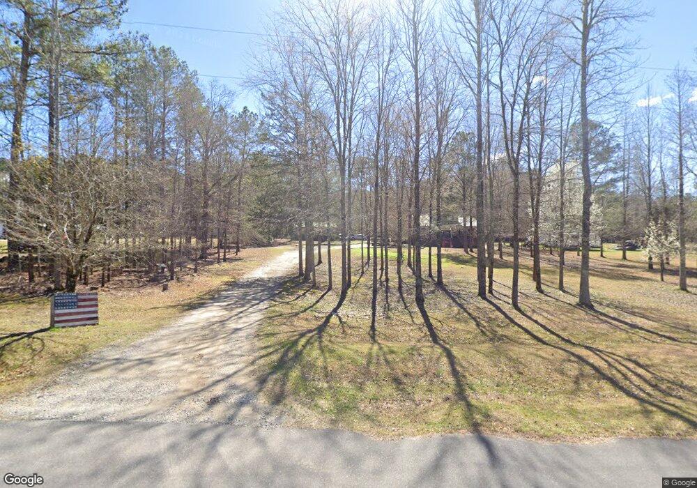
1029 Lake Cir Lincolnton, GA 30817
Estimated Value: $428,000 - $1,265,361
3
Beds
3
Baths
1,536
Sq Ft
$551/Sq Ft
Est. Value
About This Home
This home is located at 1029 Lake Cir, Lincolnton, GA 30817 and is currently estimated at $846,681, approximately $551 per square foot. 1029 Lake Cir is a home located in Lincoln County with nearby schools including Lincoln County Elementary School, Lincoln County Middle School, and Lincoln County High School.
Ownership History
Date
Name
Owned For
Owner Type
Purchase Details
Closed on
Mar 7, 2011
Sold by
Mailhot Jason M
Bought by
Mailhot Jason M and Jason M Mailhot Revocable Trust Agreemen
Current Estimated Value
Purchase Details
Closed on
Mar 4, 2011
Sold by
Mailhot Jason M
Bought by
Mailhot Jason M and Mailhot Renee A
Purchase Details
Closed on
May 19, 2009
Sold by
Mailhot Jason M
Bought by
Mailhot Jason M and Mailhot Renee A
Purchase Details
Closed on
Oct 14, 2004
Sold by
Stocks Stocks S and Stocks Gloria J
Bought by
Mailhot Jason M and Kaminski Renee A
Purchase Details
Closed on
Aug 24, 1979
Sold by
Mcelveen Hazel A and Mcelveen Geoge
Bought by
Stocks Stocks S and Stocks Gloria J
Purchase Details
Closed on
Aug 23, 1979
Sold by
Mcelveen Hazel A
Bought by
Mcelveen Hazel A and Mcelveen Goerge
Purchase Details
Closed on
Jun 20, 1968
Bought by
Mcelveen Hazel A
Create a Home Valuation Report for This Property
The Home Valuation Report is an in-depth analysis detailing your home's value as well as a comparison with similar homes in the area
Home Values in the Area
Average Home Value in this Area
Purchase History
| Date | Buyer | Sale Price | Title Company |
|---|---|---|---|
| Mailhot Jason M | -- | -- | |
| Mailhot Jason M | -- | -- | |
| Mailhot Jason M | -- | -- | |
| Mailhot Jason M | $183,300 | -- | |
| Stocks Stocks S | $9,000 | -- | |
| Mcelveen Hazel A | -- | -- | |
| Mcelveen Hazel A | -- | -- |
Source: Public Records
Tax History Compared to Growth
Tax History
| Year | Tax Paid | Tax Assessment Tax Assessment Total Assessment is a certain percentage of the fair market value that is determined by local assessors to be the total taxable value of land and additions on the property. | Land | Improvement |
|---|---|---|---|---|
| 2025 | $13,928 | $545,360 | $68,640 | $476,720 |
| 2024 | $14,295 | $519,800 | $68,640 | $451,160 |
| 2023 | $11,484 | $436,720 | $68,640 | $368,080 |
| 2022 | $10,970 | $424,800 | $68,640 | $356,160 |
| 2021 | $11,307 | $396,560 | $68,640 | $327,920 |
| 2020 | $10,505 | $269,200 | $62,400 | $206,800 |
| 2019 | $9,063 | $269,200 | $62,400 | $206,800 |
| 2018 | $8,504 | $270,560 | $62,400 | $208,160 |
| 2017 | $7,800 | $248,160 | $62,400 | $185,760 |
| 2016 | $4,136 | $127,040 | $62,400 | $64,640 |
| 2015 | -- | $127,040 | $62,400 | $64,640 |
| 2014 | -- | $125,280 | $62,400 | $62,880 |
| 2013 | -- | $125,280 | $62,400 | $62,880 |
Source: Public Records
Map
Nearby Homes
- 1179 Lakeside Dr
- 1085 Lake Dr
- 1051 Lake Dr
- 1016 Hidden Lake Ct
- 1164 Sally Ann Ct
- 1080 Serenity Pointe Dr
- 1036 Longleaf Way
- 1128 Whitstone Rd
- 1063 Fleming Lake Ct
- 1131 Whitstone Rd
- 1063 Fleming Lk Ct
- 0 Sturkey Ferry Rd Unit 24022341
- 1-3 Long Cove Dr
- 6-3 Long Cove Dr
- 8-3 Long Cove Dr
- 5-3 Long Cove Dr
- 4-3 Long Cove Dr
- 3-3 Long Cove Dr
- 2-3 Long Cove Dr
- 7-3 Long Cove
- 1021 Lake Cir
- 1043 Lake Dr
- 1043 Lake Cir
- 1105 Lakeside Dr
- 1085 Lakeside Dr
- 1080 Lakeside Dr
- 1209 Lakeside Dr
- 1191 Lakeside Dr
- 1219 Lakeside Dr
- 0 Lakeside Dr Unit 471486
- 55 & 56 Lakeside Dr
- 1227 Lakeside Dr
- 1049 Lakeside Dr
- 1052 Lakeside Dr
- 1235 Lakeside Dr
- 1235B Lakeside Dr
- 2891 Maxim Rd
- 2933 Maxim Rd
- 2861 Maxim Rd
- 2957 Maxim Rd