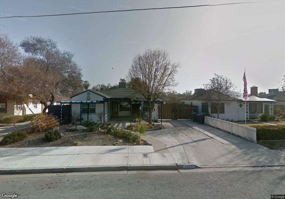
1029 Middleton St Hanford, CA 93230
Estimated Value: $246,000 - $291,312
3
Beds
1
Bath
1,116
Sq Ft
$239/Sq Ft
Est. Value
About This Home
This home is located at 1029 Middleton St, Hanford, CA 93230 and is currently estimated at $266,828, approximately $239 per square foot. 1029 Middleton St is a home located in Kings County with nearby schools including Monroe Elementary School, Woodrow Wilson Junior High School, and Hanford High School.
Ownership History
Date
Name
Owned For
Owner Type
Purchase Details
Closed on
Sep 14, 2010
Sold by
Westmoreland Gary Lee and Westmoreland Robin Linn
Bought by
Gomes William J
Current Estimated Value
Home Financials for this Owner
Home Financials are based on the most recent Mortgage that was taken out on this home.
Original Mortgage
$121,882
Outstanding Balance
$80,727
Interest Rate
4.5%
Mortgage Type
FHA
Estimated Equity
$186,101
Create a Home Valuation Report for This Property
The Home Valuation Report is an in-depth analysis detailing your home's value as well as a comparison with similar homes in the area
Home Values in the Area
Average Home Value in this Area
Purchase History
| Date | Buyer | Sale Price | Title Company |
|---|---|---|---|
| Gomes William J | $149,000 | Commerce Title Company |
Source: Public Records
Mortgage History
| Date | Status | Borrower | Loan Amount |
|---|---|---|---|
| Open | Gomes William J | $121,882 |
Source: Public Records
Tax History Compared to Growth
Tax History
| Year | Tax Paid | Tax Assessment Tax Assessment Total Assessment is a certain percentage of the fair market value that is determined by local assessors to be the total taxable value of land and additions on the property. | Land | Improvement |
|---|---|---|---|---|
| 2025 | $1,950 | $190,893 | $64,058 | $126,835 |
| 2023 | $1,950 | $183,482 | $61,571 | $121,911 |
| 2022 | $1,907 | $179,885 | $60,364 | $119,521 |
| 2021 | $1,864 | $176,359 | $59,181 | $117,178 |
| 2020 | $1,883 | $174,550 | $58,574 | $115,976 |
| 2019 | $1,850 | $171,127 | $57,425 | $113,702 |
| 2018 | $1,795 | $167,772 | $56,299 | $111,473 |
| 2017 | $1,767 | $164,482 | $55,195 | $109,287 |
| 2016 | $1,742 | $161,257 | $54,113 | $107,144 |
| 2015 | $1,730 | $158,835 | $53,300 | $105,535 |
| 2014 | $1,694 | $155,724 | $52,256 | $103,468 |
Source: Public Records
Map
Nearby Homes
- 423 W Florinda St
- 414 W Cameron St
- 420 W Ivy St
- 219 Katherine St
- 1328 N Redington St
- 822 N Douty St
- 1320 N Irwin St
- 1401 N Richmond Ave
- 964 Greenfield Ave
- 1301 N Douty St
- 1201 N Harris St
- 1236 N Brown St
- 228 E Ivy St
- 132 E 10th St
- 75 W Grangeville Blvd
- 315 E Florinda St
- 14 W Grangeville Blvd
- 98 E Grangeville Blvd
- 23 E Grangeville Blvd
- 117 E Grangeville Blvd
- 1027 Middleton St
- 1101 Middleton St
- 1021 Middleton St
- 1103 Middleton St
- 1032 Middleton St
- 1026 Kaweah St
- 1030 Kaweah St
- 1100 N Middleton
- 1100 Middleton St
- 1105 Middleton St
- 1028 Middleton St
- 1104 Middleton St
- 1015 Middleton St
- 1026 Middleton St
- 1117 Middleton St
- 426 W Florinda St
- 1108 Middleton St
- 422 W Florinda St
- 1036 Kaweah St
- 1028 Kaweah St