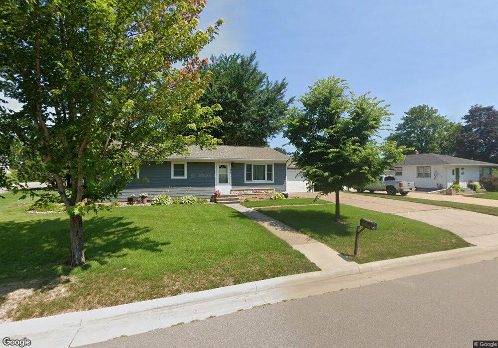
1029 Spruce Dr La Crescent, MN 55947
Estimated Value: $249,000 - $1,121,794
3
Beds
2
Baths
1,144
Sq Ft
$424/Sq Ft
Est. Value
About This Home
This home is located at 1029 Spruce Dr, La Crescent, MN 55947 and is currently estimated at $484,699, approximately $423 per square foot. 1029 Spruce Dr is a home located in Houston County with nearby schools including La Crescent-Hokah Elementary School, La Crescent-Hokah Middle School, and La Crescent-Hokah High School.
Ownership History
Date
Name
Owned For
Owner Type
Purchase Details
Closed on
Aug 30, 2006
Sold by
Nehls Michael D and Dawson Cindy
Bought by
K C Collins Investments Llc
Current Estimated Value
Home Financials for this Owner
Home Financials are based on the most recent Mortgage that was taken out on this home.
Original Mortgage
$502,500
Outstanding Balance
$302,263
Interest Rate
6.7%
Mortgage Type
Unknown
Estimated Equity
$182,436
Purchase Details
Closed on
Dec 23, 2004
Sold by
Huber Richard A and Huber Corinne A
Bought by
Huber Cedar Park Apartments Llc
Create a Home Valuation Report for This Property
The Home Valuation Report is an in-depth analysis detailing your home's value as well as a comparison with similar homes in the area
Home Values in the Area
Average Home Value in this Area
Purchase History
| Date | Buyer | Sale Price | Title Company |
|---|---|---|---|
| K C Collins Investments Llc | $670,000 | None Available | |
| Huber Cedar Park Apartments Llc | -- | None Available |
Source: Public Records
Mortgage History
| Date | Status | Borrower | Loan Amount |
|---|---|---|---|
| Open | K C Collins Investments Llc | $502,500 |
Source: Public Records
Tax History Compared to Growth
Tax History
| Year | Tax Paid | Tax Assessment Tax Assessment Total Assessment is a certain percentage of the fair market value that is determined by local assessors to be the total taxable value of land and additions on the property. | Land | Improvement |
|---|---|---|---|---|
| 2025 | $3,128 | $255,600 | $56,200 | $199,400 |
| 2024 | $3,244 | $235,400 | $56,200 | $179,200 |
| 2023 | $3,234 | $227,600 | $38,300 | $189,300 |
| 2022 | $2,756 | $227,600 | $38,300 | $189,300 |
| 2021 | $2,736 | $171,400 | $38,300 | $133,100 |
| 2020 | $3,088 | $171,400 | $38,300 | $133,100 |
| 2019 | $2,638 | $189,200 | $38,700 | $150,500 |
| 2018 | $2,220 | $170,400 | $38,700 | $131,700 |
| 2017 | $2,220 | $123,100 | $32,135 | $90,965 |
| 2016 | $1,952 | $147,100 | $38,400 | $108,700 |
| 2015 | $1,838 | $139,200 | $36,300 | $102,900 |
| 2014 | $1,838 | $114,500 | $29,859 | $84,641 |
Source: Public Records
Map
Nearby Homes
- 906 Redwood St E
- 912 S Oak St
- 0 County Road 6 Unit 1941351
- 604 Hickory Ct
- 220 S Maple St
- 813 Stoney Point Rd
- 0 Hickory Ln
- 221 N 4th St
- 540 Jonathan Ln
- 512 N Hill St
- 0 Hill St N
- Lot 7 & 8 Crescent Hills Dr
- 726 N 4th St
- 203 Eagles Bluff Rd
- 1115 Jonathan Ln
- 225 Red Apple Dr
- 645 Pettibone Pointe Way
- 328 River Point
- 0 County 6 Rd Unit NST6812247
- 103 3rd St N
- 1035 Spruce Dr
- 1020 Balsam Ave
- 1005 Balsam Ave
- 520 S 11th St
- 1032 Spruce Dr
- 1032 Spruce Dr Dr
- 1028 Spruce Dr
- 619 S 11th St
- 1024 Spruce Dr
- 1036 Spruce Dr
- 1015 Spruce Dr
- 1015 Balsam Ave
- 1011 Spruce Dr
- 1025 Balsam Ave
- 1016 Spruce Dr
- 1041 Balsam Ave
- 1035 Balsam Ave
- 1045 Balsam Ave
- 1021 Redwood St E
- 1017 Redwood St E