10290 Tavernor Rd Wilton, CA 95693
Estimated Value: $414,000 - $949,000
1
Bed
1
Bath
1,503
Sq Ft
$451/Sq Ft
Est. Value
About This Home
This home is located at 10290 Tavernor Rd, Wilton, CA 95693 and is currently estimated at $677,122, approximately $450 per square foot. 10290 Tavernor Rd is a home located in Sacramento County with nearby schools including Arcohe Elementary School and Liberty Ranch High School.
Ownership History
Date
Name
Owned For
Owner Type
Purchase Details
Closed on
Sep 30, 2019
Sold by
Schneider Janet L
Bought by
Schneider Janet L
Current Estimated Value
Purchase Details
Closed on
May 15, 2019
Sold by
Schneider Janet L
Bought by
Janet L Schneider Revocable Living Trust
Purchase Details
Closed on
Aug 22, 2007
Sold by
Schneider William C and Schneider Janet L
Bought by
Schneider William C and Schneider Janet L
Create a Home Valuation Report for This Property
The Home Valuation Report is an in-depth analysis detailing your home's value as well as a comparison with similar homes in the area
Home Values in the Area
Average Home Value in this Area
Purchase History
| Date | Buyer | Sale Price | Title Company |
|---|---|---|---|
| Schneider Janet L | -- | None Available | |
| Janet L Schneider Revocable Living Trust | -- | None Available | |
| Schneider Janet L | -- | None Available | |
| Schneider William C | -- | None Available |
Source: Public Records
Tax History
| Year | Tax Paid | Tax Assessment Tax Assessment Total Assessment is a certain percentage of the fair market value that is determined by local assessors to be the total taxable value of land and additions on the property. | Land | Improvement |
|---|---|---|---|---|
| 2025 | $913 | $88,194 | $10,997 | $77,197 |
| 2024 | $913 | $86,466 | $10,782 | $75,684 |
| 2023 | $847 | $84,771 | $10,571 | $74,200 |
| 2022 | $808 | $83,110 | $10,364 | $72,746 |
| 2021 | $823 | $81,481 | $10,161 | $71,320 |
| 2020 | $815 | $80,646 | $10,057 | $70,589 |
| 2019 | $794 | $79,065 | $9,860 | $69,205 |
| 2018 | $788 | $77,516 | $9,667 | $67,849 |
| 2017 | $756 | $75,997 | $9,478 | $66,519 |
| 2016 | $743 | $74,508 | $9,293 | $65,215 |
| 2015 | $720 | $73,390 | $9,154 | $64,236 |
| 2014 | $714 | $71,960 | $8,977 | $62,983 |
Source: Public Records
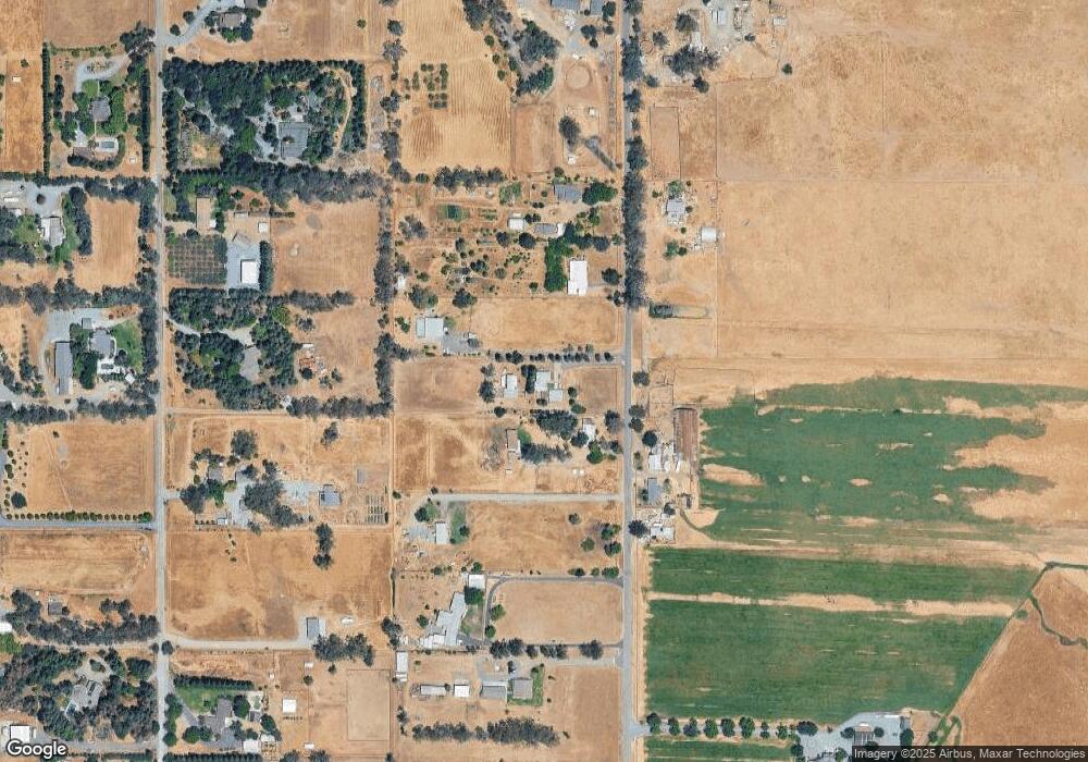
Map
Nearby Homes
- 0 Blake Rd
- 12049 Blake Rd
- #1 Alta Mesa Rd
- 9777 Tavernor Rd
- 0 Alta Mesa Rd Unit 224117427
- 0 Colony Hill Ln
- 9425 Montevideo Dr
- 0 Parcel D Unit 226001796
- 11529 Arno Rd
- 5-acres Hobday Rd
- 7770 Dillard Rd
- 0 Davis Rd Unit 226005785
- 11213 Colony Rd
- 10600 Colony Rd
- 12800 Rimfire Dr
- 11276 Randolph Rd
- 12501 Lee School Cross Rd
- 11343-2 Arno Rd
- 11343-4 Arno Rd
- 11490 Arno Rd
- 10270 Tavernor Rd
- 10280 Tavernor Rd
- 10321 Tavernor Rd
- 10252 Tavernor Rd
- 10350 Tavernor Rd
- 10285 Maggy Rd
- 10364 Tavernor Rd
- 10315 Maggy Rd
- 10221 Maggy Rd
- 10257 Maggy Rd
- 12290 Blake Rd
- 12310 Blake Rd
- 12263 Walmort Rd
- 10196 Tavernor Rd
- 10365 Tavernor Rd
- 10211 Maggy Rd
- 10284 Maggy Rd
- 10383 Maggy Rd
- 10349 Maggy Rd
- 10254 Maggy Rd
Your Personal Tour Guide
Ask me questions while you tour the home.