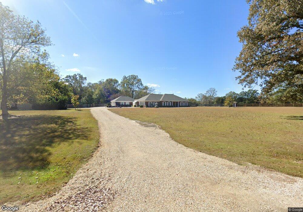
10291 Caesar Necaise Rd Picayune, MS 39466
Estimated Value: $282,000 - $443,000
Studio
--
Bath
2,577
Sq Ft
$131/Sq Ft
Est. Value
About This Home
This home is located at 10291 Caesar Necaise Rd, Picayune, MS 39466 and is currently estimated at $338,098, approximately $131 per square foot. 10291 Caesar Necaise Rd is a home located in Hancock County with nearby schools including West Hancock Elementary School, Hancock Middle School, and Hancock High School.
Ownership History
Date
Name
Owned For
Owner Type
Purchase Details
Closed on
May 12, 2023
Sold by
Lee Terry C and Lee Melonie R
Bought by
Lee Terry C and Lee Melonie R
Current Estimated Value
Purchase Details
Closed on
Jun 4, 2021
Sold by
Lee Roland R and Lee Edith
Bought by
Lee Melonie R and Lee Roland R
Purchase Details
Closed on
Jan 22, 2016
Sold by
Lee Roland R and Lee Melonie R
Bought by
Lee Roland R and Lee Melonie R
Create a Home Valuation Report for This Property
The Home Valuation Report is an in-depth analysis detailing your home's value as well as a comparison with similar homes in the area
Purchase History
| Date | Buyer | Sale Price | Title Company |
|---|---|---|---|
| Lee Terry C | -- | None Listed On Document | |
| Lee Terry C | -- | None Listed On Document | |
| Lee Terry C | -- | None Listed On Document | |
| Lee Melonie R | -- | None Available | |
| Lee Roland R | -- | -- |
Source: Public Records
Tax History
| Year | Tax Paid | Tax Assessment Tax Assessment Total Assessment is a certain percentage of the fair market value that is determined by local assessors to be the total taxable value of land and additions on the property. | Land | Improvement |
|---|---|---|---|---|
| 2025 | $1,829 | $19,200 | $2,752 | $16,448 |
| 2024 | $1,821 | $19,125 | $2,677 | $16,448 |
| 2023 | $1,707 | $17,919 | $2,677 | $15,242 |
| 2022 | $1,490 | $18,793 | $2,677 | $16,116 |
| 2021 | $1,490 | $18,793 | $2,677 | $16,116 |
| 2020 | $1,424 | $17,448 | $2,677 | $14,771 |
| 2019 | $1,424 | $17,448 | $2,677 | $14,771 |
| 2018 | $1,441 | $17,627 | $2,677 | $14,950 |
| 2017 | $1,441 | $17,627 | $2,677 | $14,950 |
| 2016 | $1,398 | $17,627 | $2,677 | $14,950 |
| 2015 | $1,205 | $16,476 | $2,884 | $13,592 |
| 2014 | $1,168 | $16,406 | $2,884 | $13,522 |
| 2013 | $1,115 | $16,406 | $2,884 | $13,522 |
Source: Public Records
Map
Nearby Homes
- 1452d Caesar Necaise Rd
- 1452c Caesar Necaise Rd
- 27261 Varnado Cutoff Rd
- 27019 Leetown Rd
- 11080 Road 231
- 00 Caesar Necaise Rd
- 11084 Road 231
- 26340 Strickland Rd
- 30003 Road 202
- NHN E Lake Cypress Dr
- 38 Wyatt Ln
- 26230 Longvue Dr
- 14 Acres F Z Goss Rd
- 0 E Lake Cypress Dr Unit 4133035
- 0 E Lake Cypress Dr Unit 4140167
- 3643 Long Leaf Dr
- 2670 Long Leaf Dr
- 46 Cascade Cove
- 28000 Eugene E Ladner Rd
- NHN Mint Julep Airpark
- 28061 Dusty Ln
- 10346 Caesar Necaise Rd
- 28101 Road 221
- 28100 Road 221
- 27140 Road 221
- 10230 Caesar Necaise Rd
- 0 Rd 221 Rd Unit 161304
- 0 Rd 221 Rd Unit 165212
- 0 Rd 221 Rd Unit 3269111
- 0 Rd 221 Rd Unit 3281190
- 10427 Caesar Necaise Rd
- 0 Dusty Ln
- 28091 Dusty Ln
- 27350 Road 221
- 10443 Caesar Necaise Rd
- 10481 Caesar Necaise Rd
- 28270 Berry Patch Rd
- 28264 Berry Patch Rd
- 10513 Caesar Necaise Rd
- 27230 Road 221
Your Personal Tour Guide
Ask me questions while you tour the home.