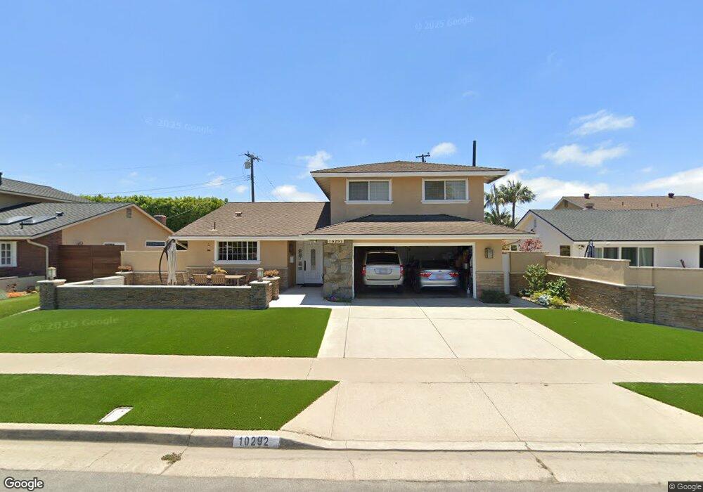
10292 Monitor Dr Huntington Beach, CA 92646
Estimated Value: $1,355,334 - $1,529,000
5
Beds
2
Baths
1,982
Sq Ft
$732/Sq Ft
Est. Value
About This Home
This home is located at 10292 Monitor Dr, Huntington Beach, CA 92646 and is currently estimated at $1,450,084, approximately $731 per square foot. 10292 Monitor Dr is a home located in Orange County with nearby schools including Isojiro Oka Elementary, Talbert Middle School, and Edison High School.
Ownership History
Date
Name
Owned For
Owner Type
Purchase Details
Closed on
Feb 14, 1998
Sold by
Salamacha Edward G and Salamacha Elaine L
Bought by
Salamacha Edward G and Salamacha Elaine L
Current Estimated Value
Create a Home Valuation Report for This Property
The Home Valuation Report is an in-depth analysis detailing your home's value as well as a comparison with similar homes in the area
Home Values in the Area
Average Home Value in this Area
Purchase History
| Date | Buyer | Sale Price | Title Company |
|---|---|---|---|
| Salamacha Edward G | -- | -- |
Source: Public Records
Tax History Compared to Growth
Tax History
| Year | Tax Paid | Tax Assessment Tax Assessment Total Assessment is a certain percentage of the fair market value that is determined by local assessors to be the total taxable value of land and additions on the property. | Land | Improvement |
|---|---|---|---|---|
| 2025 | $1,344 | $95,994 | $26,985 | $69,009 |
| 2024 | $1,344 | $94,112 | $26,456 | $67,656 |
| 2023 | $1,307 | $92,267 | $25,937 | $66,330 |
| 2022 | $1,282 | $90,458 | $25,428 | $65,030 |
| 2021 | $1,258 | $88,685 | $24,930 | $63,755 |
| 2020 | $1,248 | $87,776 | $24,674 | $63,102 |
| 2019 | $1,227 | $86,055 | $24,190 | $61,865 |
| 2018 | $1,205 | $84,368 | $23,716 | $60,652 |
| 2017 | $1,185 | $82,714 | $23,251 | $59,463 |
| 2016 | $1,142 | $81,093 | $22,795 | $58,298 |
| 2015 | $1,123 | $79,875 | $22,452 | $57,423 |
| 2014 | $1,100 | $78,311 | $22,012 | $56,299 |
Source: Public Records
Map
Nearby Homes
- 19350 Ward St Unit 14
- 19350 Ward St Unit 38
- 19350 Ward St Unit 57
- 10151 Kukui Dr
- 19922 Carmania Ln
- 2021 Kornat Dr
- 19941 Carmania Ln
- 19361 Brookhurst St Unit 159
- 19361 Brookhurst St Unit 87
- 19361 Brookhurst St Unit 50
- 19361 Brookhurst St Unit 143
- 19361 Brookhurst St Unit 21
- 19361 Brookhurst St Unit 22
- 19361 Brookhurst St Unit 184
- 19361 Brookhurst St Unit 33
- 19880 Berkshire Ln
- 19774 Cambridge Ln
- 9831 Continental Dr
- 19860 Claremont Ln
- 19251 Brookhurst St Unit 13
- 10302 Monitor Dr
- 19552 Constellation Ln
- 10301 Shangri la Dr
- 10312 Monitor Dr
- 19562 Constellation Ln
- 19571 Lexington Ln
- 10311 Shangri la Dr
- 10291 Monitor Dr
- 10281 Monitor Dr
- 10301 Monitor Dr
- 10322 Monitor Dr
- 19572 Constellation Ln
- 10271 Monitor Dr
- 10311 Monitor Dr
- 10321 Shangri la Dr
- 19581 Lexington Ln
- 10261 Monitor Dr
- 19541 Constellation Ln
- 19582 Constellation Ln
- 19551 Constellation Ln