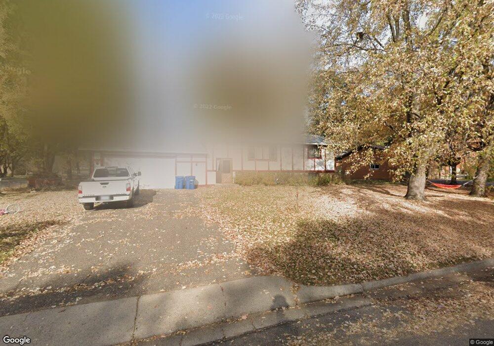
103 10th St N Sauk Rapids, MN 56379
Estimated Value: $275,000 - $288,000
5
Beds
2
Baths
2,234
Sq Ft
$126/Sq Ft
Est. Value
About This Home
This home is located at 103 10th St N, Sauk Rapids, MN 56379 and is currently estimated at $282,185, approximately $126 per square foot. 103 10th St N is a home located in Benton County with nearby schools including Pleasant View Elementary School, Sauk Rapids-Rice Middle School, and Sauk Rapids-Rice Senior High School.
Ownership History
Date
Name
Owned For
Owner Type
Purchase Details
Closed on
Feb 28, 2019
Sold by
Rolling Gregory A and Rolling Sandra L
Bought by
Robin Jessi and Robin Jeremiah Alexander
Current Estimated Value
Home Financials for this Owner
Home Financials are based on the most recent Mortgage that was taken out on this home.
Original Mortgage
$155,727
Outstanding Balance
$136,911
Interest Rate
4.4%
Mortgage Type
FHA
Estimated Equity
$145,274
Create a Home Valuation Report for This Property
The Home Valuation Report is an in-depth analysis detailing your home's value as well as a comparison with similar homes in the area
Home Values in the Area
Average Home Value in this Area
Purchase History
| Date | Buyer | Sale Price | Title Company |
|---|---|---|---|
| Robin Jessi | $158,600 | Edina Realty Title Inc |
Source: Public Records
Mortgage History
| Date | Status | Borrower | Loan Amount |
|---|---|---|---|
| Open | Robin Jessi | $155,727 |
Source: Public Records
Tax History Compared to Growth
Tax History
| Year | Tax Paid | Tax Assessment Tax Assessment Total Assessment is a certain percentage of the fair market value that is determined by local assessors to be the total taxable value of land and additions on the property. | Land | Improvement |
|---|---|---|---|---|
| 2025 | $2,774 | $248,000 | $31,600 | $216,400 |
| 2024 | $2,764 | $237,100 | $31,600 | $205,500 |
| 2023 | $2,626 | $240,200 | $31,600 | $208,600 |
| 2022 | $2,448 | $211,500 | $28,800 | $182,700 |
| 2021 | $2,230 | $183,000 | $28,800 | $154,200 |
| 2018 | $1,840 | $120,500 | $23,067 | $97,433 |
| 2017 | $1,840 | $110,600 | $22,593 | $88,007 |
| 2016 | $1,768 | $132,800 | $27,700 | $105,100 |
| 2015 | $1,782 | $97,200 | $21,836 | $75,364 |
| 2014 | -- | $91,600 | $21,466 | $70,134 |
| 2013 | -- | $93,000 | $21,557 | $71,443 |
Source: Public Records
Map
Nearby Homes
- 702 N Benton Dr
- 709 N Benton Dr
- 314 Pleasant Ridge Dr
- 1018 N Benton Dr
- 224 9th St N
- 390 18th Street Ct NW
- 18th 18th
- 870 18th St NW
- 820 18th St NW
- 32608 River Vista Ln
- 1914 N Benton Dr
- 32467 County Road 1
- 615 3rd Ave N
- 1804 Oak Pond Dr
- 752 12th St N
- 1806 Oak Pond Dr
- 1209 Oak Pond Dr
- 1809 Eastern Star Loop
- 932 Oak Pond Ct
- 93 10th St S
- 111 10th St N
- 102 11th St N
- 102 102 N 11th-Street-
- 110 11th St N
- 104 10th St N
- 121 10th St N
- 120 10th St N
- 120 11th St N
- 902 1st Ave N
- 942 942 1st-Avenue-n
- 124 10th St N
- 1057 1st Ave N
- 942 4 1/2 Ave N
- 942 1st Ave N
- 129 10th St N
- 107 11th St N
- 128 11th St N
- 137 Frontier Ct
- 1101 1st Ave N
- 1087 2nd Ave N