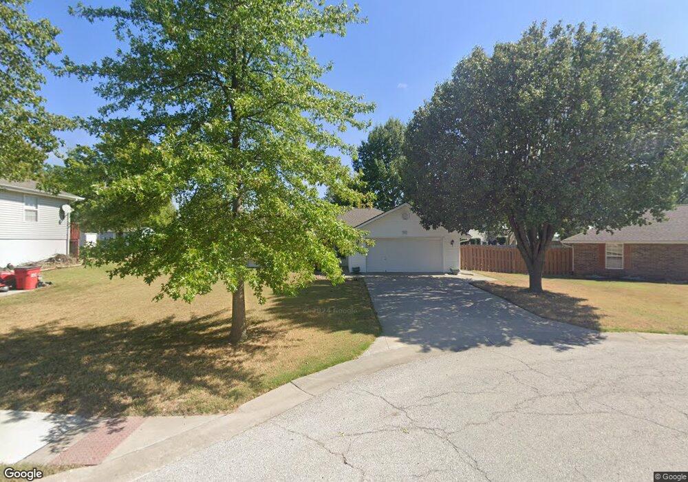
103 Aaron Ct Grain Valley, MO 64029
Estimated Value: $272,000 - $283,000
3
Beds
2
Baths
1,202
Sq Ft
$230/Sq Ft
Est. Value
About This Home
This home is located at 103 Aaron Ct, Grain Valley, MO 64029 and is currently estimated at $276,238, approximately $229 per square foot. 103 Aaron Ct is a home located in Jackson County with nearby schools including Grain Valley High School.
Ownership History
Date
Name
Owned For
Owner Type
Purchase Details
Closed on
Aug 4, 1997
Sold by
Gregston Harvey W and Gregston Glenda J
Bought by
Gregston H Dale and Link Darla K
Current Estimated Value
Purchase Details
Closed on
Apr 29, 1997
Sold by
Arnold David L and Arnold Natalie D
Bought by
Gregston Harvey W and Gregston Glenda J
Purchase Details
Closed on
Oct 8, 1996
Sold by
Parker Ronnie J and Parker Gwenda A
Bought by
Arnold David L and Arnold Natalie D
Home Financials for this Owner
Home Financials are based on the most recent Mortgage that was taken out on this home.
Original Mortgage
$64,000
Interest Rate
7.77%
Mortgage Type
Construction
Create a Home Valuation Report for This Property
The Home Valuation Report is an in-depth analysis detailing your home's value as well as a comparison with similar homes in the area
Home Values in the Area
Average Home Value in this Area
Purchase History
| Date | Buyer | Sale Price | Title Company |
|---|---|---|---|
| Gregston H Dale | -- | -- | |
| Gregston Harvey W | -- | Stewart Title | |
| Arnold David L | -- | Stewart Title |
Source: Public Records
Mortgage History
| Date | Status | Borrower | Loan Amount |
|---|---|---|---|
| Previous Owner | Arnold David L | $64,000 |
Source: Public Records
Tax History Compared to Growth
Tax History
| Year | Tax Paid | Tax Assessment Tax Assessment Total Assessment is a certain percentage of the fair market value that is determined by local assessors to be the total taxable value of land and additions on the property. | Land | Improvement |
|---|---|---|---|---|
| 2025 | $3,074 | $34,424 | $5,586 | $28,838 |
| 2024 | $2,959 | $37,316 | $4,043 | $33,273 |
| 2023 | $2,959 | $37,316 | $4,661 | $32,655 |
| 2022 | $2,360 | $26,030 | $5,235 | $20,795 |
| 2021 | $2,304 | $26,030 | $5,235 | $20,795 |
| 2020 | $2,333 | $25,995 | $5,235 | $20,760 |
| 2019 | $2,286 | $25,995 | $5,235 | $20,760 |
| 2018 | $2,347 | $24,945 | $3,405 | $21,540 |
| 2017 | $2,287 | $24,945 | $3,405 | $21,540 |
| 2016 | $2,287 | $24,320 | $4,389 | $19,931 |
| 2014 | $2,216 | $23,386 | $4,377 | $19,009 |
Source: Public Records
Map
Nearby Homes
- 207 Pebblebrook St
- 200 Cross Creek Ln
- 209 SW Cross Creek Dr
- 512 Broadway St
- 204 Young St
- 1007 NW Long Dr
- 621 Charlotte St
- 1024 Christie Ln
- 605 NW Silverstone Cir
- 618 NW Thieme St
- 725 SW Tisha Ln
- 640 SW Crestview Dr
- 506 SW Meadowood Dr
- 1235 NW Ashley Ln
- 1229 NW Ashley Dr
- 810 NW Thieme St
- 805 NW Thieme St
- 621 SW Tisha Ln
- 2 Ooida Dr
- 1211 NW Scenic Dr