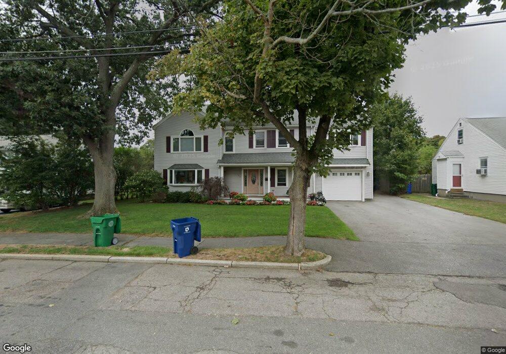
103 Albert Rd Auburndale, MA 02466
Auburndale NeighborhoodEstimated Value: $1,259,000 - $1,901,000
4
Beds
4
Baths
2,793
Sq Ft
$583/Sq Ft
Est. Value
About This Home
This home is located at 103 Albert Rd, Auburndale, MA 02466 and is currently estimated at $1,629,590, approximately $583 per square foot. 103 Albert Rd is a home located in Middlesex County with nearby schools including C.C. Burr, F.A. Day Middle School, and Newton North High School.
Ownership History
Date
Name
Owned For
Owner Type
Purchase Details
Closed on
Sep 20, 2018
Sold by
Mariano Nicola and Fremault Andrea
Bought by
103 Albert Road Rt
Current Estimated Value
Purchase Details
Closed on
Jul 16, 1991
Sold by
Oppenheim Jonathan H and Oppenheim Sheila A
Bought by
Mariano Nicola and Fremault Andrea
Home Financials for this Owner
Home Financials are based on the most recent Mortgage that was taken out on this home.
Original Mortgage
$120,000
Interest Rate
9.35%
Mortgage Type
Purchase Money Mortgage
Create a Home Valuation Report for This Property
The Home Valuation Report is an in-depth analysis detailing your home's value as well as a comparison with similar homes in the area
Home Values in the Area
Average Home Value in this Area
Purchase History
| Date | Buyer | Sale Price | Title Company |
|---|---|---|---|
| 103 Albert Road Rt | -- | -- | |
| Mariano Nicola | $180,000 | -- |
Source: Public Records
Mortgage History
| Date | Status | Borrower | Loan Amount |
|---|---|---|---|
| Previous Owner | Mariano Nicola | $120,000 |
Source: Public Records
Tax History
| Year | Tax Paid | Tax Assessment Tax Assessment Total Assessment is a certain percentage of the fair market value that is determined by local assessors to be the total taxable value of land and additions on the property. | Land | Improvement |
|---|---|---|---|---|
| 2025 | $14,171 | $1,446,000 | $913,200 | $532,800 |
| 2024 | $13,702 | $1,403,900 | $886,600 | $517,300 |
| 2023 | $13,140 | $1,290,800 | $676,900 | $613,900 |
| 2022 | $12,574 | $1,195,200 | $626,800 | $568,400 |
| 2021 | $12,132 | $1,127,500 | $591,300 | $536,200 |
| 2020 | $11,771 | $1,127,500 | $591,300 | $536,200 |
| 2019 | $11,440 | $1,094,700 | $574,100 | $520,600 |
| 2018 | $10,674 | $986,500 | $516,300 | $470,200 |
| 2017 | $10,349 | $930,700 | $487,100 | $443,600 |
| 2016 | $9,898 | $869,800 | $455,200 | $414,600 |
| 2015 | $9,438 | $812,900 | $425,400 | $387,500 |
Source: Public Records
Map
Nearby Homes
- 101-103 Lexington St
- 160 Pine St Unit 15
- 160 Pine St Unit 12
- 49 Staniford St
- 74 Rumford Ave
- 214 River St Unit 214
- 105 Adams Ave
- 11 Derby St
- 40 Dexter St
- 31-37 Washington Ave
- 14 Cottage Place Unit 14
- 232 Melrose St Unit 2
- 8 Elm St Unit 8
- 7 Westland Terrace
- 106 River St Unit 18
- 16 Elm St Unit 16
- 2 Elm St Unit 2
- 10 Higgins St
- 24 Tolman St Unit 1
- 7 Sharon Ave Unit 7
- 95 Albert Rd
- 109 Albert Rd
- 166 Lexington St
- 166 Lexington St Unit 1
- 158 Lexington St
- 91 Albert Rd
- 174 Lexington St
- 160 Lexington St
- 160 Lexington St Unit A
- 160 Lexington St Unit 31
- 160 Lexington St Unit 26
- 160 Lexington St Unit 25
- 160 Lexington St
- 160 Lexington St Unit 1
- 115 Albert Rd
- 104 Albert Rd
- 110 Albert Rd
- 152 Lexington St Unit 154
- 152-154 Lexington St
- 92 Albert Rd
Your Personal Tour Guide
Ask me questions while you tour the home.