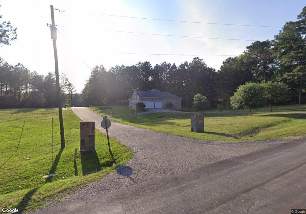
103 Bullock Rd Laurel, MS 39443
Estimated Value: $197,000 - $355,000
3
Beds
3
Baths
2,077
Sq Ft
$133/Sq Ft
Est. Value
About This Home
This home is located at 103 Bullock Rd, Laurel, MS 39443 and is currently estimated at $276,298, approximately $133 per square foot. 103 Bullock Rd is a home located in Jones County.
Ownership History
Date
Name
Owned For
Owner Type
Purchase Details
Closed on
Feb 11, 2008
Sold by
Poole Micah J and Poole Kayla B
Bought by
Ingram Steven D and Ingram Evelyn
Current Estimated Value
Home Financials for this Owner
Home Financials are based on the most recent Mortgage that was taken out on this home.
Original Mortgage
$205,000
Outstanding Balance
$127,295
Interest Rate
5.85%
Estimated Equity
$149,003
Purchase Details
Closed on
Feb 16, 2007
Sold by
Ishee Andrew W and Ishee Sheree D
Bought by
Poole Micah J and Poole Kayla B
Home Financials for this Owner
Home Financials are based on the most recent Mortgage that was taken out on this home.
Original Mortgage
$148,000
Interest Rate
6.16%
Mortgage Type
Purchase Money Mortgage
Create a Home Valuation Report for This Property
The Home Valuation Report is an in-depth analysis detailing your home's value as well as a comparison with similar homes in the area
Purchase History
| Date | Buyer | Sale Price | Title Company |
|---|---|---|---|
| Ingram Steven D | -- | -- | |
| Poole Micah J | -- | -- |
Source: Public Records
Mortgage History
| Date | Status | Borrower | Loan Amount |
|---|---|---|---|
| Open | Ingram Steven D | $205,000 | |
| Previous Owner | Poole Micah J | $148,000 |
Source: Public Records
Tax History
| Year | Tax Paid | Tax Assessment Tax Assessment Total Assessment is a certain percentage of the fair market value that is determined by local assessors to be the total taxable value of land and additions on the property. | Land | Improvement |
|---|---|---|---|---|
| 2025 | $3,362 | $27,918 | $0 | $0 |
| 2024 | $3,418 | $27,008 | $0 | $0 |
| 2023 | $3,418 | $18,005 | $0 | $0 |
| 2022 | $2,030 | $18,005 | $0 | $0 |
| 2021 | $2,039 | $18,005 | $0 | $0 |
| 2020 | $3,597 | $27,206 | $0 | $0 |
| 2019 | $2,407 | $18,137 | $0 | $0 |
| 2018 | $3,607 | $27,206 | $0 | $0 |
| 2017 | $3,607 | $27,206 | $0 | $0 |
| 2016 | $1,926 | $17,179 | $0 | $0 |
| 2015 | -- | $17,179 | $0 | $0 |
| 2014 | -- | $17,044 | $0 | $0 |
Source: Public Records
Map
Nearby Homes
- 122 County Road 237
- 0 Sharon Moss Rd Unit 145888
- 155 Sharon Moss Rd
- 109 Reagan Ranch Rd
- 54 Sharon Moss Rd
- 620 Shady Grove Moss Rd
- 00 Cr 8
- 0 County Road 8
- 24 Dean Matthews Rd
- 220 County Barn Rd
- 86 County Road 21
- 909 Sharon Moss Rd
- 4398 Sharon Rd
- 338 Reedy Creek Rd
- 73 Mayfield Rd
- 132 County Barn Rd
- 5015 Highway 15 N
- 1067 Trace Rd
- 1305 Springhill Rd
- 0 Sharon Rd
- 111 Bullock Rd
- 0 Rocky Ridge
- 7 Rocky Ridge Rd
- 115 Bullock Rd
- 102 Bullock Rd
- 107 County Road 2371
- # 8 Rocky Ridge Rd
- 19 Rocky Ridge Rd
- 106 Bullock Rd
- 92 County Road 2371
- 80 County Road 2371
- 10 Bullock Rd
- 74 Bullock Rd
- 66 Bullock Rd
- 104 N Pacocean Acres
- 41 George Holloway Rd
- 190 Cr 237
- 50 Bullock Rd
- 105 N Pacocean Acres
- 51 N Pacocean Acres
Your Personal Tour Guide
Ask me questions while you tour the home.