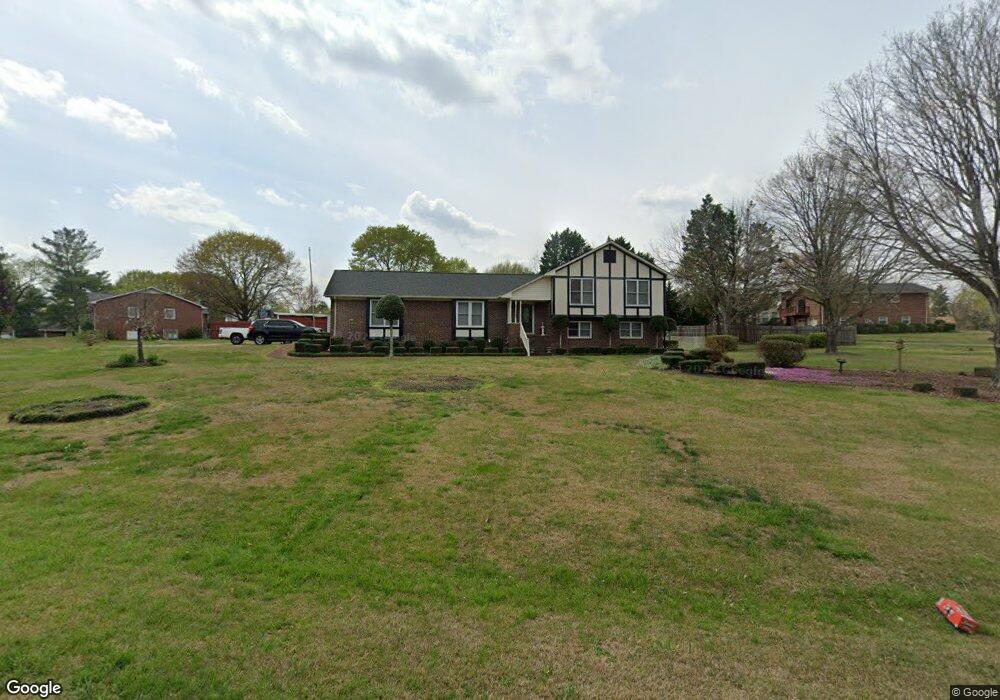
103 Cambridge Cir Gaffney, SC 29341
Estimated Value: $269,925 - $292,000
--
Bed
--
Bath
2,225
Sq Ft
$125/Sq Ft
Est. Value
About This Home
This home is located at 103 Cambridge Cir, Gaffney, SC 29341 and is currently estimated at $278,481, approximately $125 per square foot. 103 Cambridge Cir is a home located in Cherokee County with nearby schools including B.D. Lee Elementary School, Gaffney Middle School, and Gaffney High School.
Ownership History
Date
Name
Owned For
Owner Type
Purchase Details
Closed on
Dec 20, 2023
Sold by
Short Kenneth W
Bought by
Short Kenneth W
Current Estimated Value
Purchase Details
Closed on
Dec 1, 2020
Sold by
Short Kenneth W
Bought by
Griffin Micah Blayne
Purchase Details
Closed on
Nov 25, 2020
Sold by
Short Kenneth W
Bought by
Griffin Micah Blayne
Purchase Details
Closed on
Apr 12, 2013
Bought by
Short Kenneth W
Create a Home Valuation Report for This Property
The Home Valuation Report is an in-depth analysis detailing your home's value as well as a comparison with similar homes in the area
Home Values in the Area
Average Home Value in this Area
Purchase History
| Date | Buyer | Sale Price | Title Company |
|---|---|---|---|
| Short Kenneth W | -- | None Listed On Document | |
| Short Kenneth W | -- | None Listed On Document | |
| Griffin Micah Blayne | $4,054 | -- | |
| Griffin Micah Blayne | $4,054 | -- | |
| Short Kenneth W | -- | -- |
Source: Public Records
Mortgage History
| Date | Status | Borrower | Loan Amount |
|---|---|---|---|
| Previous Owner | Short Kenneth W | $48,500 |
Source: Public Records
Tax History Compared to Growth
Tax History
| Year | Tax Paid | Tax Assessment Tax Assessment Total Assessment is a certain percentage of the fair market value that is determined by local assessors to be the total taxable value of land and additions on the property. | Land | Improvement |
|---|---|---|---|---|
| 2024 | $1,401 | $8,300 | $600 | $7,700 |
| 2023 | $1,326 | $8,000 | $600 | $7,400 |
| 2022 | $1,265 | $8,000 | $600 | $7,400 |
| 2021 | $3,926 | $10,430 | $900 | $9,530 |
| 2020 | $817 | $6,960 | $0 | $0 |
| 2019 | $815 | $6,960 | $0 | $0 |
| 2018 | $815 | $6,960 | $0 | $0 |
| 2017 | $431 | $6,570 | $0 | $0 |
| 2016 | $455 | $6,570 | $0 | $0 |
| 2015 | $303 | $6,570 | $0 | $0 |
| 2014 | $303 | $6,570 | $0 | $0 |
| 2013 | $303 | $6,570 | $0 | $0 |
Source: Public Records
Map
Nearby Homes
- 1266 W Rutledge Ave
- 116 Saxon Dr
- 1172 W Rutledge Ave
- 200 Lincoln Dr
- 1168 W Rutledge Ave
- 252 Brittany Rd
- 68 Calton Dr
- Lot 55 Lincoln Dr
- 116 Kennedy St
- 115 Dean St
- 111 Dean St
- 00 Buckson St
- 0 Twin Lakes Rd Unit 296722
- 0 Winslow Ave Unit 276137
- 531 W Rutledge Ave
- 303 Poplar St
- 605 W Smith St
- 608 W Buford St
- 0 Windslow Ave
- 108 Maple Dr
- 101 Cambridge Cir
- 105 Cambridge Cir
- 107 Cambridge Cir
- 104 Cambridge Cir
- 15 Cambridge Cir
- 102 Cambridge Cir
- 1504 W Rutledge Ave
- 1502 W Rutledge Ave
- 100 Cambridge Cir
- 1506 W Rutledge Ave
- 108 Cambridge Cir
- 110 Cambridge Cir
- 1508 W Rutledge Ave
- 1402 W Rutledge Ave
- 112 Cambridge Cir
- 114 Cambridge Cir
- 116 Cambridge Cir
- 1510 W Rutledge Ave
- 1503 W Rutledge Ave
- 1505 W Rutledge Ave