103 Captains Row Mashpee, MA 02649
Mashpee Neck NeighborhoodEstimated Value: $645,000 - $824,000
3
Beds
2
Baths
1,154
Sq Ft
$637/Sq Ft
Est. Value
About This Home
This home is located at 103 Captains Row, Mashpee, MA 02649 and is currently estimated at $734,905, approximately $636 per square foot. 103 Captains Row is a home located in Barnstable County with nearby schools including Kenneth C. Coombs School, Quashnet School, and Mashpee Middle School.
Ownership History
Date
Name
Owned For
Owner Type
Purchase Details
Closed on
Dec 26, 2013
Sold by
Keilty John J and Keilty Kristen D
Bought by
Keilty Ft and Keilty John J
Current Estimated Value
Purchase Details
Closed on
Jul 1, 2008
Sold by
Farnese Robert J
Bought by
Keilty John J and Keilty Kristen Dixon
Home Financials for this Owner
Home Financials are based on the most recent Mortgage that was taken out on this home.
Original Mortgage
$228,000
Interest Rate
6.07%
Mortgage Type
Purchase Money Mortgage
Purchase Details
Closed on
Aug 15, 2007
Sold by
Richard G Farnese Rt and Farnese Robert J
Bought by
Farnese Robert J
Create a Home Valuation Report for This Property
The Home Valuation Report is an in-depth analysis detailing your home's value as well as a comparison with similar homes in the area
Home Values in the Area
Average Home Value in this Area
Purchase History
| Date | Buyer | Sale Price | Title Company |
|---|---|---|---|
| Keilty Ft | -- | -- | |
| Keilty John J | $315,500 | -- | |
| Farnese Robert J | -- | -- |
Source: Public Records
Mortgage History
| Date | Status | Borrower | Loan Amount |
|---|---|---|---|
| Previous Owner | Keilty John J | $228,000 |
Source: Public Records
Tax History
| Year | Tax Paid | Tax Assessment Tax Assessment Total Assessment is a certain percentage of the fair market value that is determined by local assessors to be the total taxable value of land and additions on the property. | Land | Improvement |
|---|---|---|---|---|
| 2025 | $4,222 | $637,800 | $373,300 | $264,500 |
| 2024 | $3,825 | $594,900 | $339,400 | $255,500 |
| 2023 | $3,548 | $506,200 | $298,300 | $207,900 |
| 2022 | $3,377 | $413,400 | $242,600 | $170,800 |
| 2021 | $3,284 | $362,100 | $218,500 | $143,600 |
| 2020 | $3,167 | $348,400 | $210,100 | $138,300 |
| 2019 | $3,225 | $356,300 | $227,600 | $128,700 |
| 2018 | $3,064 | $343,500 | $227,600 | $115,900 |
| 2017 | $3,051 | $332,000 | $227,600 | $104,400 |
| 2016 | $3,002 | $324,900 | $227,600 | $97,300 |
| 2015 | $2,924 | $321,000 | $227,600 | $93,400 |
| 2014 | $2,670 | $284,300 | $192,200 | $92,100 |
Source: Public Records
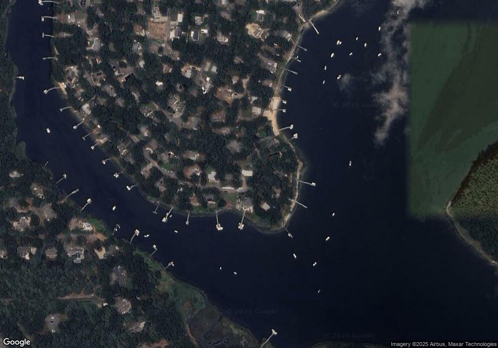
Map
Nearby Homes
- 29 Musket Ln
- 20 Mutiny Way
- 239 Clamshell Cove Rd
- 11 Dry Hollow Ln
- 85 Clamshell Cove Rd
- 28 Quaker Run Rd
- 140 Summersea Rd
- 18 Sand Dollar Ln
- 353 Simons Narrows Rd
- 102 Summersea Rd
- 35 Spinnaker Dr W
- 86 Summersea Rd
- 70 Great Pines Dr
- 11 Teal Cir
- 80 Summersea Rd
- 80 & 86 Summersea Rd
- 36 Little Neck Ln
- 109 Great Pines Dr
- 10 Shadbush Cir
- 640 Poponessett Rd
- 117 Captains Row
- 93 Captains Row
- 118 Captains Row
- 112 Captains Row
- 121 Captains Row
- 108 Captains Row
- 102 Captains Row
- 100 Captains Row
- 96 Captains Row
- 106 Captains Row
- 90 Captains Row
- 89 Captains Row
- 122 Captains Row
- 62 Treasure Ln
- 127 Captains Row
- 56 Treasure Ln
- 84 Captains Row
- 86 Captains Row
- 126 Captains Row
- 85 Captains Row
Your Personal Tour Guide
Ask me questions while you tour the home.