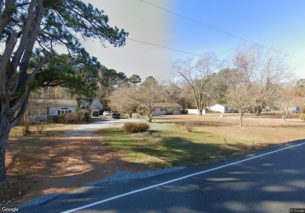
103 Dirt Bridge Rd Topping, VA 23169
Estimated Value: $257,000 - $347,000
3
Beds
1
Bath
1,104
Sq Ft
$261/Sq Ft
Est. Value
About This Home
This home is located at 103 Dirt Bridge Rd, Topping, VA 23169 and is currently estimated at $288,317, approximately $261 per square foot. 103 Dirt Bridge Rd is a home located in Middlesex County with nearby schools including Middlesex Elementary School, St. Clare Walker Middle School, and Middlesex High School.
Ownership History
Date
Name
Owned For
Owner Type
Purchase Details
Closed on
Jul 19, 2024
Sold by
Jones James D and Jones Harryette K
Bought by
Goode Melissa
Current Estimated Value
Home Financials for this Owner
Home Financials are based on the most recent Mortgage that was taken out on this home.
Original Mortgage
$247,000
Outstanding Balance
$243,976
Interest Rate
6.86%
Mortgage Type
New Conventional
Estimated Equity
$44,342
Purchase Details
Closed on
Aug 20, 2015
Sold by
Lindbergh Mary L
Bought by
Jones James D and Jones Harryette K
Create a Home Valuation Report for This Property
The Home Valuation Report is an in-depth analysis detailing your home's value as well as a comparison with similar homes in the area
Home Values in the Area
Average Home Value in this Area
Purchase History
| Date | Buyer | Sale Price | Title Company |
|---|---|---|---|
| Goode Melissa | $260,000 | Fidelity National Title | |
| Jones James D | $75,000 | None Available |
Source: Public Records
Mortgage History
| Date | Status | Borrower | Loan Amount |
|---|---|---|---|
| Open | Goode Melissa | $247,000 |
Source: Public Records
Tax History Compared to Growth
Tax History
| Year | Tax Paid | Tax Assessment Tax Assessment Total Assessment is a certain percentage of the fair market value that is determined by local assessors to be the total taxable value of land and additions on the property. | Land | Improvement |
|---|---|---|---|---|
| 2025 | $945 | $154,900 | $53,800 | $101,100 |
| 2024 | $945 | $154,900 | $53,800 | $101,100 |
| 2023 | $945 | $154,900 | $53,800 | $101,100 |
| 2022 | $945 | $154,900 | $53,800 | $101,100 |
| 2021 | $808 | $130,300 | $49,300 | $81,000 |
| 2020 | $808 | $130,300 | $49,300 | $81,000 |
| 2019 | $808 | $130,300 | $49,300 | $81,000 |
| 2018 | $730 | $130,300 | $49,300 | $81,000 |
| 2017 | $730 | $130,300 | $49,300 | $81,000 |
| 2016 | $651 | $122,800 | $47,800 | $75,000 |
| 2015 | -- | $0 | $0 | $0 |
| 2014 | -- | $0 | $0 | $0 |
| 2013 | -- | $0 | $0 | $0 |
Source: Public Records
Map
Nearby Homes
- 113 Rappa Run Rd
- 170 Rappa Run Rd
- 367 Barricks Mill Rd
- 32 Masons Cove Ln
- 00 Masons Cove Ln
- 422 Syringa Rd
- Lot 3 Blakes Cove
- Lot 3 Hideaway Point Rd
- 180 Mechams Cove Rd
- 115 Blue Barn Rd
- 810 Long Point Ln
- 1437 Locust Grove Rd
- 278 Regent Rd
- 560 Eubank Landing Rd
- 153 Hillcrest
- 155 Pinetop Rd
- 307 Highgate Dr
- 58-E Villa Ridge
- TBD Landing West Way
- 10966 General Puller Hwy Unit Lot 3
- 127 Dirt Bridge Rd
- 81 Dirt Bridge Rd
- 2177 Regent Rd
- 207 Dirt Bridge Rd
- 2321 Regent Rd
- 243 Dirt Bridge Rd
- 2427 Regent Rd
- 0 Regent Rd Unit 1226116
- 00 Regent Rd
- 0 Regent Rd Unit 109577
- 0 Regent Rd Unit 2204851
- 0 Regent Rd Unit 107613
- 0 Regent Rd Unit 116543
- 2023 Regent Rd
- 2397 Regent Rd
- 2431 Regent Rd
- 2435 Regent Rd
- 2410 Regent Rd
- 1947 Regent Rd
- 2471 Regent Rd