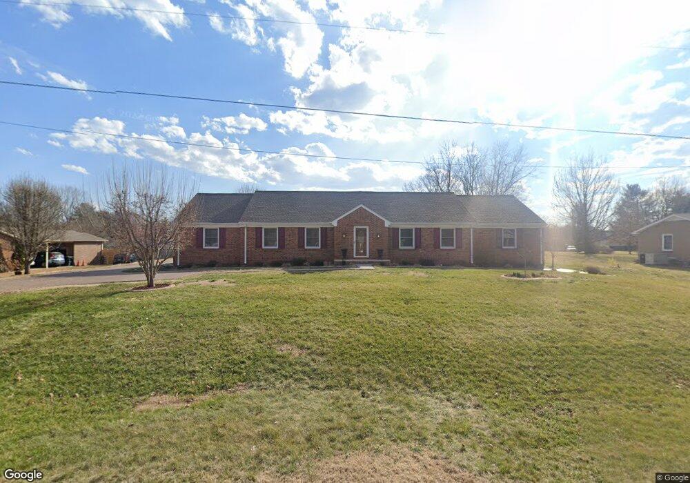
103 Fairmont Dr Franklin, TN 37064
West Franklin NeighborhoodEstimated Value: $626,429 - $794,000
--
Bed
3
Baths
2,562
Sq Ft
$287/Sq Ft
Est. Value
About This Home
This home is located at 103 Fairmont Dr, Franklin, TN 37064 and is currently estimated at $734,607, approximately $286 per square foot. 103 Fairmont Dr is a home located in Williamson County with nearby schools including Johnson Elementary School, Poplar Grove K-4, and Poplar Grove 5-8.
Ownership History
Date
Name
Owned For
Owner Type
Purchase Details
Closed on
Dec 10, 2002
Sold by
Knight David A and Knight Marilyn P
Bought by
Knight David A
Current Estimated Value
Purchase Details
Closed on
Apr 30, 2002
Sold by
Knight David A
Bought by
Handley Marlene J
Home Financials for this Owner
Home Financials are based on the most recent Mortgage that was taken out on this home.
Original Mortgage
$138,500
Interest Rate
5.79%
Purchase Details
Closed on
Dec 9, 1994
Sold by
Alan Montgomery Richard
Bought by
Knight David A
Create a Home Valuation Report for This Property
The Home Valuation Report is an in-depth analysis detailing your home's value as well as a comparison with similar homes in the area
Home Values in the Area
Average Home Value in this Area
Purchase History
| Date | Buyer | Sale Price | Title Company |
|---|---|---|---|
| Knight David A | -- | -- | |
| Handley Marlene J | $204,700 | -- | |
| Knight David A | $135,000 | -- |
Source: Public Records
Mortgage History
| Date | Status | Borrower | Loan Amount |
|---|---|---|---|
| Previous Owner | Handley Marlene J | $138,500 |
Source: Public Records
Tax History Compared to Growth
Tax History
| Year | Tax Paid | Tax Assessment Tax Assessment Total Assessment is a certain percentage of the fair market value that is determined by local assessors to be the total taxable value of land and additions on the property. | Land | Improvement |
|---|---|---|---|---|
| 2025 | $3,436 | $180,175 | $52,500 | $127,675 |
| 2024 | $3,436 | $121,375 | $28,750 | $92,625 |
| 2023 | $3,303 | $121,375 | $28,750 | $92,625 |
| 2022 | $3,303 | $121,375 | $28,750 | $92,625 |
| 2021 | $3,303 | $121,375 | $28,750 | $92,625 |
| 2020 | $2,686 | $83,225 | $18,750 | $64,475 |
| 2019 | $2,686 | $83,225 | $18,750 | $64,475 |
| 2018 | $2,628 | $83,225 | $18,750 | $64,475 |
| 2017 | $2,586 | $83,225 | $18,750 | $64,475 |
| 2016 | $2,578 | $83,225 | $18,750 | $64,475 |
| 2015 | -- | $68,300 | $15,000 | $53,300 |
| 2014 | -- | $68,300 | $15,000 | $53,300 |
Source: Public Records
Map
Nearby Homes
- 1407 Clairmonte Cir
- 132 Alexander Dr
- 708 Del Rio Pike
- 3126 Bush Dr
- 5112 Terravista Ln
- 1141 Magnolia Dr
- 1839 William Campbell Ct
- 3126 Annfield Way
- 305 Abram Ct
- 2009 Heflin Ln
- 613 Hillsboro Rd Unit A-11
- 613 Hillsboro Rd Unit D23
- 601 Boyd Mill Ave Unit A2
- 601 Boyd Mill Ave Unit J1
- 601 Boyd Mill Ave Unit Q5
- 100 Cottage Ln
- 928 Glass St
- 5029 Owenruth Dr
- 1016 Benelli Park Ct
- Azalea Plan at Reese