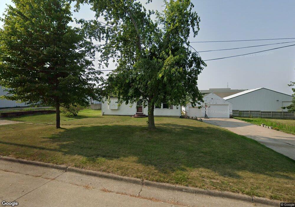
103 Fisher St Hiawatha, IA 52233
Estimated Value: $144,000 - $201,000
4
Beds
2
Baths
1,469
Sq Ft
$116/Sq Ft
Est. Value
About This Home
This home is located at 103 Fisher St, Hiawatha, IA 52233 and is currently estimated at $171,104, approximately $116 per square foot. 103 Fisher St is a home located in Linn County with nearby schools including T.C. Cherry Elementary School, Nixon Elementary School, and Ponderosa Elementary School.
Ownership History
Date
Name
Owned For
Owner Type
Purchase Details
Closed on
Jul 13, 2016
Sold by
Kenene Real Estate Exchange Lc
Bought by
Structure Builders Inc
Current Estimated Value
Purchase Details
Closed on
May 12, 2005
Sold by
Kennene Real Estate Exchange Lc
Bought by
Caye Jeffrey Daniel and Caye Jeffrey
Home Financials for this Owner
Home Financials are based on the most recent Mortgage that was taken out on this home.
Original Mortgage
$84,000
Interest Rate
6.13%
Mortgage Type
Unknown
Purchase Details
Closed on
Feb 25, 2003
Sold by
Huberty Christopher R and Huberty Ruthann S
Bought by
Graf Properties Llc
Create a Home Valuation Report for This Property
The Home Valuation Report is an in-depth analysis detailing your home's value as well as a comparison with similar homes in the area
Home Values in the Area
Average Home Value in this Area
Purchase History
| Date | Buyer | Sale Price | Title Company |
|---|---|---|---|
| Structure Builders Inc | -- | None Available | |
| Caye Jeffrey Daniel | $112,000 | -- | |
| Kennene Real Estate Exchange Lc | $111,500 | -- | |
| Graf Properties Llc | $88,500 | -- | |
| Graf Properties Llc | $89,000 | -- |
Source: Public Records
Mortgage History
| Date | Status | Borrower | Loan Amount |
|---|---|---|---|
| Previous Owner | Kennene Real Estate Exchange Lc | $84,000 | |
| Previous Owner | Caye Jeffrey Daniel | $100,800 | |
| Closed | Graf Properties Llc | $0 |
Source: Public Records
Tax History Compared to Growth
Tax History
| Year | Tax Paid | Tax Assessment Tax Assessment Total Assessment is a certain percentage of the fair market value that is determined by local assessors to be the total taxable value of land and additions on the property. | Land | Improvement |
|---|---|---|---|---|
| 2025 | $2,598 | $25,100 | $25,100 | -- |
| 2024 | $2,412 | $158,000 | $25,100 | $132,900 |
| 2023 | $2,412 | $158,000 | $25,100 | $132,900 |
| 2022 | $2,384 | $119,000 | $25,100 | $93,900 |
| 2021 | $2,422 | $119,000 | $25,100 | $93,900 |
| 2020 | $2,422 | $113,000 | $25,100 | $87,900 |
| 2019 | $2,254 | $105,700 | $25,100 | $80,600 |
| 2018 | $2,214 | $105,700 | $25,100 | $80,600 |
| 2017 | $2,298 | $105,000 | $25,100 | $79,900 |
| 2016 | $2,242 | $105,000 | $25,100 | $79,900 |
| 2015 | $2,242 | $105,000 | $25,100 | $79,900 |
| 2014 | $2,248 | $105,000 | $25,100 | $79,900 |
| 2013 | $2,188 | $105,000 | $25,100 | $79,900 |
Source: Public Records
Map
Nearby Homes
- 3 N Center Point Rd
- 1 N Center Point Rd
- 105 W Willman St
- 5455 Blairs Ferry Rd NE
- 109 E Willman St
- 114 Northwood Dr
- 250 Cimarron Dr Unit 311
- 780 Ryan Ave
- 6505 Brookview Ln NE
- 306 10th Ave
- 1213 Raney St
- 1213 Bowler St
- 1355 Robins Rd
- 1364 Cress Pkwy
- 0 Council St NE
- 4761 Westchester Dr NE Unit C
- 4609 White Pine Dr NE
- 4745 Westchester Dr NE Unit A
- 2838 Anne Dr
- 2596 Anne Ln
- 105 Fisher St
- 101 Fisher St
- 104 Emmons St
- 102 Fisher St
- 107 Fisher St
- 104 Fisher St
- 106 Fisher St
- 400 N Center Point Rd
- 109 Fisher St
- 107 N Center Point Rd
- 101 N Center Point Rd
- 108 Emmons St
- 108 Fisher St
- 402 N Center Point Rd
- 111 Fisher St
- 110 Fisher St
- 91 N Center Point Rd
- 105 N Center Point Rd
- 2 N Center Point Rd
- 111 N Center Point Rd Unit B