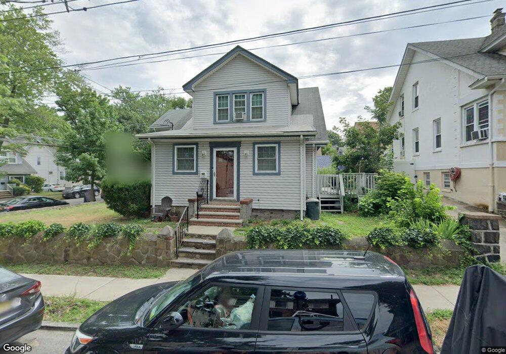
103 Fiske Ave Staten Island, NY 10314
Westerleigh NeighborhoodEstimated Value: $802,000 - $931,000
--
Bed
--
Bath
1,920
Sq Ft
$451/Sq Ft
Est. Value
About This Home
This home is located at 103 Fiske Ave, Staten Island, NY 10314 and is currently estimated at $866,500, approximately $451 per square foot. 103 Fiske Ave is a home located in Richmond County with nearby schools including P.S. 30 Westerleigh, I.S. 51 Edwin Markham, and Port Richmond High School.
Ownership History
Date
Name
Owned For
Owner Type
Purchase Details
Closed on
Nov 5, 2020
Sold by
Otten Mark L and Otten Alan F
Bought by
Otten Mark
Current Estimated Value
Home Financials for this Owner
Home Financials are based on the most recent Mortgage that was taken out on this home.
Original Mortgage
$255,000
Outstanding Balance
$226,914
Interest Rate
2.8%
Mortgage Type
New Conventional
Estimated Equity
$639,586
Purchase Details
Closed on
Nov 2, 2011
Sold by
Otten Mary L
Bought by
Otten Mary L
Create a Home Valuation Report for This Property
The Home Valuation Report is an in-depth analysis detailing your home's value as well as a comparison with similar homes in the area
Home Values in the Area
Average Home Value in this Area
Purchase History
| Date | Buyer | Sale Price | Title Company |
|---|---|---|---|
| Otten Mark | $100,000 | Jewett Abstract | |
| Otten Mary L | -- | None Available |
Source: Public Records
Mortgage History
| Date | Status | Borrower | Loan Amount |
|---|---|---|---|
| Open | Otten Mark | $255,000 |
Source: Public Records
Tax History Compared to Growth
Tax History
| Year | Tax Paid | Tax Assessment Tax Assessment Total Assessment is a certain percentage of the fair market value that is determined by local assessors to be the total taxable value of land and additions on the property. | Land | Improvement |
|---|---|---|---|---|
| 2025 | $7,869 | $46,740 | $16,545 | $30,195 |
| 2024 | $7,869 | $39,180 | $19,589 | $19,591 |
| 2023 | $7,541 | $37,132 | $15,879 | $21,253 |
| 2022 | $6,993 | $42,660 | $19,500 | $23,160 |
| 2021 | $6,955 | $38,280 | $19,500 | $18,780 |
| 2020 | $6,995 | $35,820 | $19,500 | $16,320 |
| 2019 | $6,861 | $34,740 | $19,500 | $15,240 |
| 2018 | $6,010 | $30,943 | $17,894 | $13,049 |
| 2017 | $5,651 | $29,192 | $15,892 | $13,300 |
| 2016 | $5,196 | $27,540 | $19,500 | $8,040 |
| 2015 | $4,980 | $29,192 | $16,014 | $13,178 |
| 2014 | $4,980 | $27,540 | $16,260 | $11,280 |
Source: Public Records
Map
Nearby Homes
- 262 Maine Ave
- 349 College Ave
- 151 Clinton B Fisk Ave
- 153 Clinton B Fisk Ave
- 325 College Ave
- 159 North Ave
- 615 Jewett Ave
- 304 Kingsley Ave
- 36 Shaw Place
- 751 Jewett Ave Unit 17
- 751 Jewett Ave
- 116 Bidwell Ave
- 78 Burnside Ave
- 14 Leonard Ave
- 60 North Ave
- 142 Margaretta Ct
- 32 Dickie Ave
- 140 Constant Ave
- 184 Dickie Ave
- 40 North Ave
- 109 Fiske Ave
- 360 College Ave
- 111 Clinton B Fiske Ave
- 111 Fiske Ave
- 104 Wardwell Ave
- 100 Wardwell Ave
- 104 Fiske Ave
- 386 College Ave
- 108 Wardwell Ave
- 115 Clinton B Fiske Ave
- 110 Fiske Ave
- 110 Clinton B Fiske Ave
- 363 College Ave
- 115 Fiske Ave
- 361 College Ave
- 359 College Ave
- 116 Fiske Ave
- 353 College Ave
- 261 Maine Ave
- 105 Willard Ave