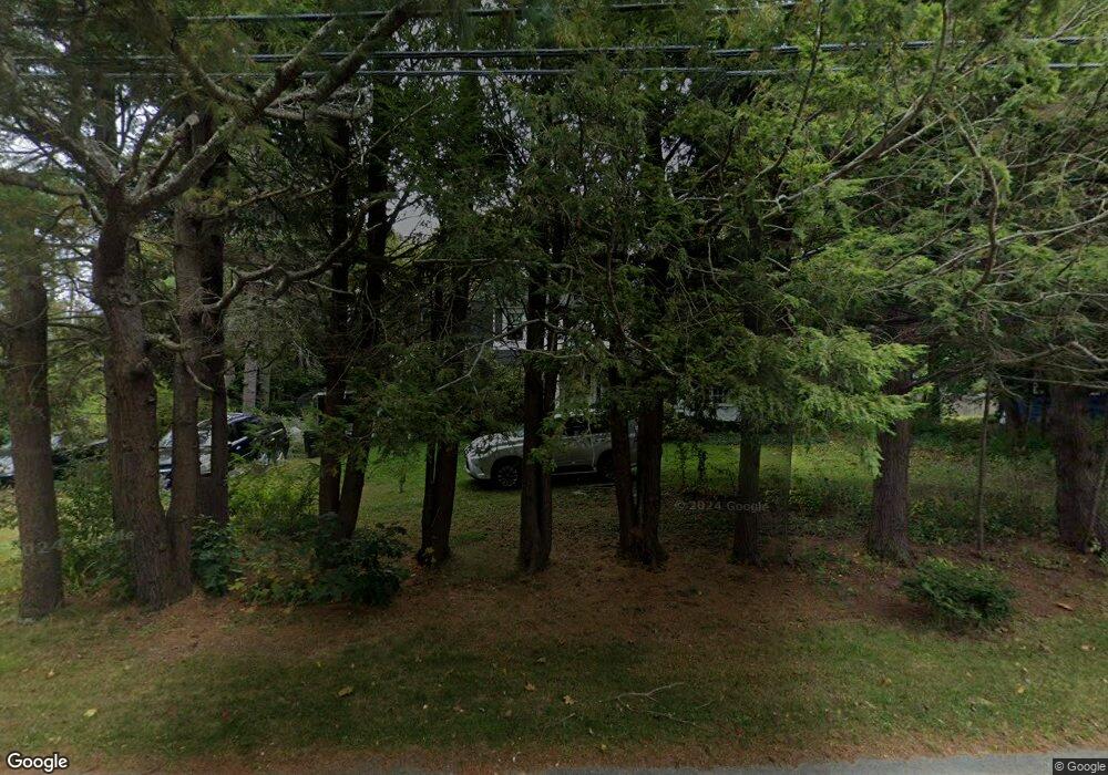
103 Foreside Rd Falmouth, ME 04105
Estimated Value: $1,105,089 - $1,433,000
4
Beds
2
Baths
2,468
Sq Ft
$543/Sq Ft
Est. Value
About This Home
This home is located at 103 Foreside Rd, Falmouth, ME 04105 and is currently estimated at $1,339,772, approximately $542 per square foot. 103 Foreside Rd is a home located in Cumberland County with nearby schools including Falmouth Middle School, Falmouth High School, and Baxter Academy for Tech & Sciences.
Ownership History
Date
Name
Owned For
Owner Type
Purchase Details
Closed on
Jun 9, 2014
Sold by
Sylvester Michael S
Bought by
Sylvester Michael S
Current Estimated Value
Purchase Details
Closed on
Nov 8, 2010
Sold by
Sylvester 2Nd Michael S
Bought by
Sylvester Michael S
Home Financials for this Owner
Home Financials are based on the most recent Mortgage that was taken out on this home.
Original Mortgage
$150,000
Outstanding Balance
$99,672
Interest Rate
4.41%
Mortgage Type
Unknown
Estimated Equity
$1,240,100
Create a Home Valuation Report for This Property
The Home Valuation Report is an in-depth analysis detailing your home's value as well as a comparison with similar homes in the area
Home Values in the Area
Average Home Value in this Area
Purchase History
| Date | Buyer | Sale Price | Title Company |
|---|---|---|---|
| Sylvester Michael S | -- | -- | |
| Sylvester Michael S | -- | -- |
Source: Public Records
Mortgage History
| Date | Status | Borrower | Loan Amount |
|---|---|---|---|
| Open | Sylvester Michael S | $150,000 |
Source: Public Records
Tax History Compared to Growth
Tax History
| Year | Tax Paid | Tax Assessment Tax Assessment Total Assessment is a certain percentage of the fair market value that is determined by local assessors to be the total taxable value of land and additions on the property. | Land | Improvement |
|---|---|---|---|---|
| 2024 | $9,751 | $728,800 | $511,000 | $217,800 |
| 2023 | $9,201 | $727,900 | $511,000 | $216,900 |
| 2022 | $8,677 | $727,900 | $511,000 | $216,900 |
| 2021 | $7,119 | $430,700 | $272,200 | $158,500 |
| 2020 | $7,192 | $421,800 | $272,200 | $149,600 |
| 2019 | $7,013 | $415,700 | $272,200 | $143,500 |
| 2018 | $6,847 | $415,700 | $272,200 | $143,500 |
| 2017 | $6,515 | $417,100 | $272,200 | $144,900 |
| 2016 | $7,089 | $417,100 | $272,200 | $144,900 |
| 2015 | $6,102 | $417,100 | $272,200 | $144,900 |
| 2014 | $5,740 | $417,100 | $272,200 | $144,900 |
| 2012 | -- | $417,100 | $272,200 | $144,900 |
Source: Public Records
Map
Nearby Homes
- 109 Foreside Rd
- 267 U S Route 1 Unit 201
- 267 U S Route 1 Unit PH505
- 267 U S Route 1 Unit 404
- 267 U S Route 1 Unit 406
- 267 U S Route 1 Unit 405
- 267 U S Route 1 Unit 306
- 267 U S Route 1 Unit 305
- 267 U S Route 1 Unit 307
- 57 Foreside Rd
- 75 Clearwater Dr Unit 305
- 10 Elm Dr
- 27 Colonial Village
- 24 Lunt Rd
- 69 Colonial Village
- 53 Waites Landing Rd
- 62 Waites Landing Rd
- 216 Middle Rd
- R03-54-4 Longwoods Rd
- Lot 2 Chloe Way (25 Falmouth Road) Rd
- 105 Foreside Rd
- 101 Foreside Rd
- 6 Anderson Dr
- 8 Anderson Dr
- 12 Anderson Dr
- 97 Foreside Rd
- 100 Foreside Rd
- 4 Edgewater Rd
- 4 Mussel Cove Ln
- 5 Anderson Dr
- 00 Anderson Dr
- 9 Anderson Dr
- 13 Anderson Dr
- 10 Edgewater Rd
- 6 Mussel Cove Ln
- 110 Foreside Rd
- 92 Foreside Rd
- 7 Edgewater Rd
- 3 Mussel Cove Ln
- 6 Ridgeway Rd