Estimated Value: $201,000 - $276,000
3
Beds
2
Baths
1,060
Sq Ft
$223/Sq Ft
Est. Value
About This Home
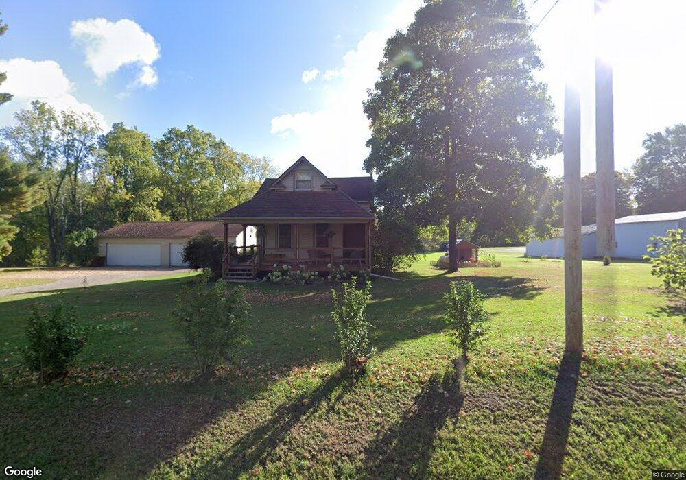
This home is located at 103 Gale Rd, Mason, MI 48854 and is currently estimated at $236,332, approximately $222 per square foot. 103 Gale Rd is a home located in Ingham County with nearby schools including Mason High School.
Ownership History
Date
Name
Owned For
Owner Type
Purchase Details
Closed on
Nov 13, 2020
Sold by
Spoor Karl C
Bought by
Spoor Tyler and Spoor Brittany A
Current Estimated Value
Home Financials for this Owner
Home Financials are based on the most recent Mortgage that was taken out on this home.
Original Mortgage
$185,000
Outstanding Balance
$164,624
Interest Rate
2.8%
Mortgage Type
VA
Estimated Equity
$71,708
Purchase Details
Closed on
Aug 21, 2007
Sold by
Spoor Dale R
Bought by
Spoor Karla C
Home Financials for this Owner
Home Financials are based on the most recent Mortgage that was taken out on this home.
Original Mortgage
$120,000
Interest Rate
6.63%
Mortgage Type
Purchase Money Mortgage
Purchase Details
Closed on
Oct 1, 1992
Sold by
Wd Noddins
Create a Home Valuation Report for This Property
The Home Valuation Report is an in-depth analysis detailing your home's value as well as a comparison with similar homes in the area
Home Values in the Area
Average Home Value in this Area
Purchase History
| Date | Buyer | Sale Price | Title Company |
|---|---|---|---|
| Spoor Tyler | $185,000 | Bell Ttl Agcy Of East Lansin | |
| Spoor Karla C | -- | None Available | |
| -- | $55,000 | -- |
Source: Public Records
Mortgage History
| Date | Status | Borrower | Loan Amount |
|---|---|---|---|
| Open | Spoor Tyler | $185,000 | |
| Previous Owner | Spoor Karla C | $120,000 |
Source: Public Records
Tax History Compared to Growth
Tax History
| Year | Tax Paid | Tax Assessment Tax Assessment Total Assessment is a certain percentage of the fair market value that is determined by local assessors to be the total taxable value of land and additions on the property. | Land | Improvement |
|---|---|---|---|---|
| 2025 | $2,708 | $106,700 | $20,800 | $85,900 |
| 2024 | $16 | $101,300 | $20,200 | $81,100 |
| 2023 | $2,629 | $90,500 | $13,300 | $77,200 |
| 2022 | $2,381 | $80,100 | $19,500 | $60,600 |
| 2021 | $2,455 | $75,000 | $0 | $75,000 |
| 2020 | $2,736 | $68,200 | $14,700 | $53,500 |
| 2019 | $2,423 | $67,900 | $14,300 | $53,600 |
| 2018 | $2,312 | $62,400 | $14,300 | $48,100 |
| 2017 | $1,993 | $62,400 | $14,300 | $48,100 |
| 2016 | -- | $59,100 | $14,300 | $44,800 |
| 2015 | -- | $57,200 | $28,540 | $28,660 |
| 2014 | -- | $54,200 | $28,540 | $25,660 |
Source: Public Records
Map
Nearby Homes
- 119 Branson Bay Dr
- 56 S Onondaga Rd
- 6401 Curtice Rd
- 472 S Waverly Rd
- 11249 Columbia Hwy
- 372 S Eifert Rd
- 4939 W Columbia Rd
- 896 Waverly Rd
- 5594 Harper Rd
- 4789 Nichols Rd
- TBD N Onondaga Rd
- 1463 N Onondaga Rd
- 6454 Pleasant River Dr
- 153 Primrose Ln
- 380 Spicetree Ln Unit 48
- 1511 Antler Cir
- 4786 Harper Rd
- 61 Lake Ridge Dr
- 49 Lake Ridge Dr
- VL Witherspoon Way
- 77 Gale Rd
- 131 Gale Rd
- 94 Gale Rd
- 161 Gale Rd
- 50 Gale Rd
- S Every Rd Unit 169933
- S Every Rd Unit 37053
- S Every Rd Unit 37051
- S Every Rd Unit 46999
- S Every Rd Unit 46996
- S Every Rd Unit 60437
- S Every Rd
- 175 Gale Rd
- 120 Gale Rd
- 9 Gale Rd
- 5963 W Columbia Rd
- 5921 W Columbia Rd
- 192 Gale Rd
- 109 Branson Bay Dr