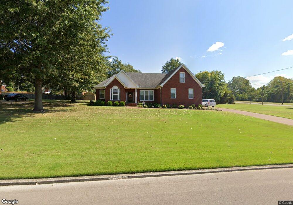
103 Lankford Dr Ripley, TN 38063
Estimated Value: $221,645 - $301,000
--
Bed
2
Baths
2,009
Sq Ft
$137/Sq Ft
Est. Value
About This Home
This home is located at 103 Lankford Dr, Ripley, TN 38063 and is currently estimated at $274,411, approximately $136 per square foot. 103 Lankford Dr is a home located in Lauderdale County with nearby schools including Ripley Primary School, Ripley Elementary School, and Ripley Middle School.
Ownership History
Date
Name
Owned For
Owner Type
Purchase Details
Closed on
Sep 15, 2005
Sold by
Danley William T
Bought by
Mcbride Larry
Current Estimated Value
Purchase Details
Closed on
Oct 13, 2004
Sold by
Turner Linda L
Bought by
Danley William T
Purchase Details
Closed on
May 18, 2004
Sold by
Cherry Charles S
Bought by
Mcbride Larry T
Purchase Details
Closed on
Sep 24, 1996
Sold by
Poston Anthony Lankford
Bought by
Chery Chalres S
Purchase Details
Closed on
Jun 6, 1996
Bought by
Cherry Charles S
Create a Home Valuation Report for This Property
The Home Valuation Report is an in-depth analysis detailing your home's value as well as a comparison with similar homes in the area
Home Values in the Area
Average Home Value in this Area
Purchase History
| Date | Buyer | Sale Price | Title Company |
|---|---|---|---|
| Mcbride Larry | $16,000 | -- | |
| Danley William T | $15,000 | -- | |
| Mcbride Larry T | $135,000 | -- | |
| Chery Chalres S | $14,000 | -- | |
| Cherry Charles S | $14,000 | -- |
Source: Public Records
Tax History Compared to Growth
Tax History
| Year | Tax Paid | Tax Assessment Tax Assessment Total Assessment is a certain percentage of the fair market value that is determined by local assessors to be the total taxable value of land and additions on the property. | Land | Improvement |
|---|---|---|---|---|
| 2025 | $1,143 | $45,750 | $0 | $0 |
| 2024 | $1,143 | $45,000 | $3,200 | $41,800 |
| 2023 | $2,268 | $45,000 | $3,200 | $41,800 |
| 2022 | $2,268 | $45,000 | $3,200 | $41,800 |
| 2021 | $2,171 | $45,000 | $3,200 | $41,800 |
| 2020 | $2,139 | $45,000 | $3,200 | $41,800 |
| 2019 | $2,105 | $38,850 | $4,000 | $34,850 |
| 2018 | $2,105 | $38,250 | $4,000 | $34,250 |
| 2017 | $2,056 | $38,250 | $4,000 | $34,250 |
| 2016 | $1,976 | $38,250 | $4,000 | $34,250 |
| 2015 | $1,973 | $38,250 | $4,000 | $34,250 |
| 2014 | $1,170 | $40,350 | $4,000 | $36,350 |
Source: Public Records
Map
Nearby Homes
- 00 Willow Creek Dr
- 122 Willow Creek Dr
- 103 April Cove
- 0 Kirkpatrick Dr
- 115 Westwood Cove
- 32 U S 51
- 33 U S 51
- 242 Lackey Ln
- 150 Westwood Cir
- 224 Kellar Ave
- LOT 3 U S Highway 51
- LOT 2 U S Highway 51
- 289 S Washington St
- 303 Courtney Dr
- 334 S Washington St
- 493 U S Highway 51
- 215 S Jefferson St
- 141 Tucker Ave
- 0 Cleveland St
- 0 Monroe St
- 105 Lankford Dr
- 104 Brent Cove
- 121 Willow Creek Dr
- 102 Lankford Dr
- 125 Willow Creek Dr
- 107 Lankford Dr
- 106 Brent Cove
- 132 Willow Creek Dr
- 104 Lankford Dr
- 127 Willow Creek Dr
- 109 Lankford Dr
- 00 Lankford Dr
- 105 Brent Cove
- 129 Willow Creek Dr
- 111 Lankford Dr
- 0 Willow Creek Dr
- 136 Willow Creek Dr
- 124 Willow Creek Dr
- 346 Patsy Cove
- 0 Patsy Cove