103 Levi Ct Bigfork, MT 59911
Estimated Value: $870,030 - $1,274,000
3
Beds
3
Baths
2,193
Sq Ft
$453/Sq Ft
Est. Value
About This Home
This home is located at 103 Levi Ct, Bigfork, MT 59911 and is currently estimated at $992,758, approximately $452 per square foot. 103 Levi Ct is a home located in Flathead County with nearby schools including Bigfork Elementary School, Bigfork Middle School, and Bigfork High School.
Ownership History
Date
Name
Owned For
Owner Type
Purchase Details
Closed on
Dec 1, 2020
Sold by
Phillips Andrew B and Phillips Lisa
Bought by
Phillips Andrew B and Phillips Lisa
Current Estimated Value
Home Financials for this Owner
Home Financials are based on the most recent Mortgage that was taken out on this home.
Original Mortgage
$253,000
Interest Rate
2.8%
Mortgage Type
Commercial
Purchase Details
Closed on
Nov 20, 2020
Sold by
Phillips Andrew B and Phillips Lisa
Bought by
Phillips Andrew B and Phillips Lisa
Home Financials for this Owner
Home Financials are based on the most recent Mortgage that was taken out on this home.
Original Mortgage
$253,000
Interest Rate
2.8%
Mortgage Type
Commercial
Purchase Details
Closed on
Jul 2, 2012
Sold by
Phillips Andy and Philips Lisa
Bought by
Phillips Andrew B and Phillips Lisa
Create a Home Valuation Report for This Property
The Home Valuation Report is an in-depth analysis detailing your home's value as well as a comparison with similar homes in the area
Home Values in the Area
Average Home Value in this Area
Purchase History
| Date | Buyer | Sale Price | Title Company |
|---|---|---|---|
| Phillips Andrew B | -- | None Available | |
| Phillips Andrew B | -- | None Available | |
| Phillips Andrew B | -- | None Available |
Source: Public Records
Mortgage History
| Date | Status | Borrower | Loan Amount |
|---|---|---|---|
| Closed | Phillips Andrew B | $253,000 |
Source: Public Records
Tax History
| Year | Tax Paid | Tax Assessment Tax Assessment Total Assessment is a certain percentage of the fair market value that is determined by local assessors to be the total taxable value of land and additions on the property. | Land | Improvement |
|---|---|---|---|---|
| 2025 | $3,490 | $889,500 | $0 | $0 |
| 2024 | $3,783 | $677,800 | $0 | $0 |
| 2023 | $3,827 | $677,800 | $0 | $0 |
| 2022 | $3,589 | $499,800 | $0 | $0 |
| 2021 | $3,930 | $499,800 | $0 | $0 |
| 2020 | $3,613 | $443,000 | $0 | $0 |
| 2019 | $3,485 | $443,000 | $0 | $0 |
| 2018 | $3,613 | $437,100 | $0 | $0 |
| 2017 | $3,533 | $437,100 | $0 | $0 |
| 2016 | $3,168 | $393,300 | $0 | $0 |
| 2015 | $2,933 | $393,300 | $0 | $0 |
| 2014 | $3,197 | $258,746 | $0 | $0 |
Source: Public Records
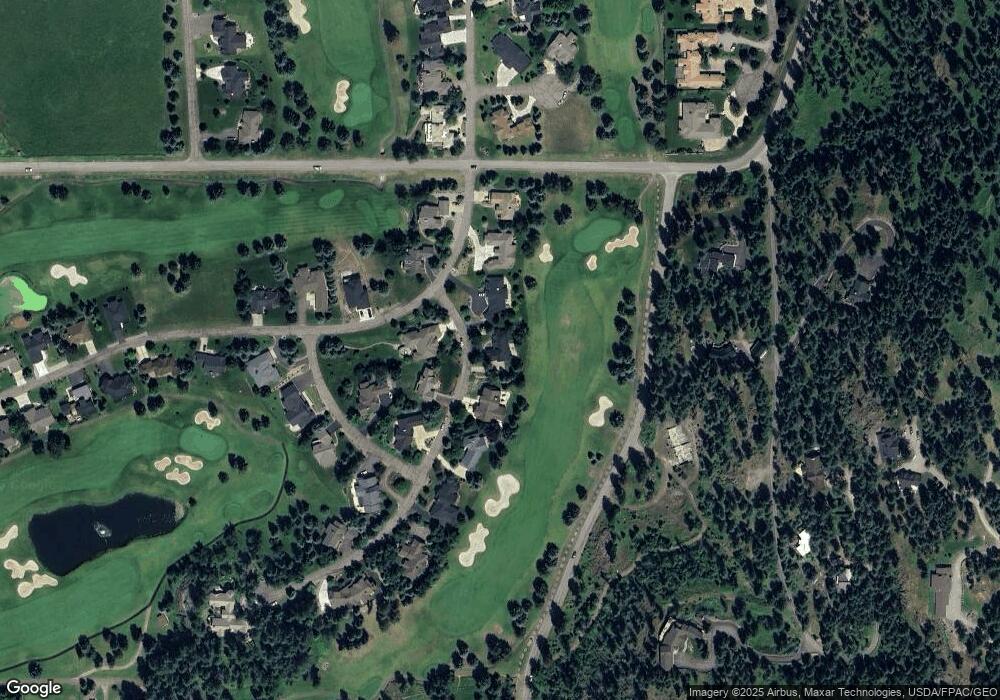
Map
Nearby Homes
- 220 Bridger Dr
- 351 Chapman Ln
- 1358 Ponderosa Ridge Dr
- 116 Golden Bear Dr
- 112 Golden Bear Dr
- 486 Hogue Dr
- 106 Golden Bear Dr
- 175 Aerie Place
- 151 Bjork Dr
- 394 Windsor Ct
- 147 Bjork Dr
- 181 Fox Run Ct
- 161 Fox Run Ct
- 266 Eagle Bend Dr
- 145 Fox Run Ct
- 324 Lake Hills Dr
- 153 Fox Run Ct
- 623 Mill Pond Place
- 260 Crestview Dr
- 94 Golf Terrace
Your Personal Tour Guide
Ask me questions while you tour the home.