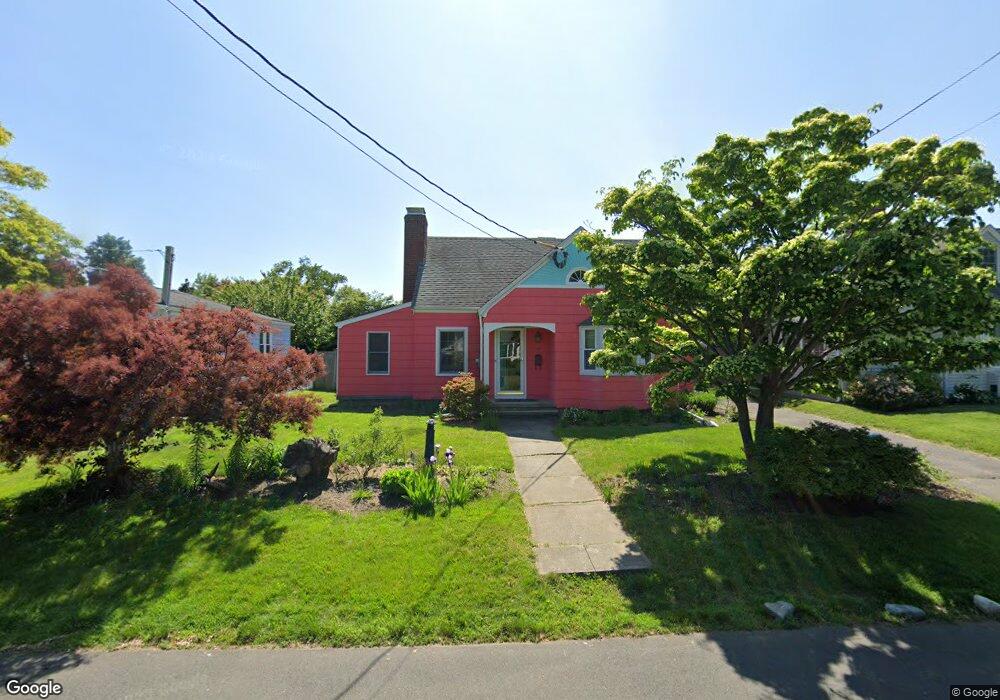
103 Lordship Rd Stratford, CT 06615
Lordship NeighborhoodEstimated Value: $584,962 - $679,000
3
Beds
2
Baths
1,386
Sq Ft
$464/Sq Ft
Est. Value
About This Home
This home is located at 103 Lordship Rd, Stratford, CT 06615 and is currently estimated at $643,741, approximately $464 per square foot. 103 Lordship Rd is a home located in Fairfield County with nearby schools including Lordship School, David Wooster Middle School, and Stratford High School.
Ownership History
Date
Name
Owned For
Owner Type
Purchase Details
Closed on
Dec 18, 2000
Sold by
Est Gardner Edward Jr and Allen Phillip
Bought by
Doolan Christine
Current Estimated Value
Home Financials for this Owner
Home Financials are based on the most recent Mortgage that was taken out on this home.
Original Mortgage
$169,900
Interest Rate
7.7%
Create a Home Valuation Report for This Property
The Home Valuation Report is an in-depth analysis detailing your home's value as well as a comparison with similar homes in the area
Home Values in the Area
Average Home Value in this Area
Purchase History
| Date | Buyer | Sale Price | Title Company |
|---|---|---|---|
| Doolan Christine | $229,000 | -- |
Source: Public Records
Mortgage History
| Date | Status | Borrower | Loan Amount |
|---|---|---|---|
| Open | Doolan Christine | $170,000 | |
| Closed | Doolan Christine | $169,900 | |
| Previous Owner | Doolan Christine | $162,000 | |
| Previous Owner | Doolan Christine | $148,800 |
Source: Public Records
Tax History Compared to Growth
Tax History
| Year | Tax Paid | Tax Assessment Tax Assessment Total Assessment is a certain percentage of the fair market value that is determined by local assessors to be the total taxable value of land and additions on the property. | Land | Improvement |
|---|---|---|---|---|
| 2025 | $9,067 | $225,540 | $135,520 | $90,020 |
| 2024 | $9,067 | $225,540 | $135,520 | $90,020 |
| 2023 | $9,067 | $225,540 | $135,520 | $90,020 |
| 2022 | $8,900 | $225,540 | $135,520 | $90,020 |
| 2021 | $8,902 | $225,540 | $135,520 | $90,020 |
| 2020 | $8,940 | $225,540 | $135,520 | $90,020 |
| 2019 | $8,825 | $221,340 | $128,870 | $92,470 |
| 2018 | $8,831 | $221,340 | $128,870 | $92,470 |
| 2017 | $8,847 | $221,340 | $128,870 | $92,470 |
| 2016 | $8,630 | $221,340 | $128,870 | $92,470 |
| 2015 | $8,185 | $221,340 | $128,870 | $92,470 |
| 2014 | $8,029 | $225,330 | $135,240 | $90,090 |
Source: Public Records
Map
Nearby Homes
- 44 Washington Pkwy
- 90 Grove St
- 16 Shoreline Dr Unit 16
- 464 Park Blvd
- 95 Baxter St
- 130 Ash St
- 112 Vermont Ave
- 421 Short Beach Rd
- 1055 Stratford Rd
- 155 Short Beach Rd Unit 206
- 115 Short Beach Rd Unit 104
- 115 Short Beach Rd Unit 103
- 115 Short Beach Rd Unit 106
- 161 Ryan Ave
- 70 Guzzi Dr
- 79 Wooster Ave
- 394 Harding Ave
- 106 General St
- 1260 Elm St
- 325 Mckinley Ave
- 115 Lordship Rd
- 91 Lordship Rd
- 125 Lordship Rd
- 79 Lordship Rd
- 135 Lordship Rd
- 54 Pauline St
- 64 Pauline St
- 456 Ocean Ave
- 450 Ocean Ave
- 72 Pauline St
- 145 Lordship Rd
- 371 Stratford Rd
- 104 Lordship Rd
- 100 Lordship Rd
- 112 Lordship Rd
- 82 Lordship Rd
- 454 Ocean Ave
- 361 Stratford Rd
- 124 Lordship Rd
- 74 Lordship Rd