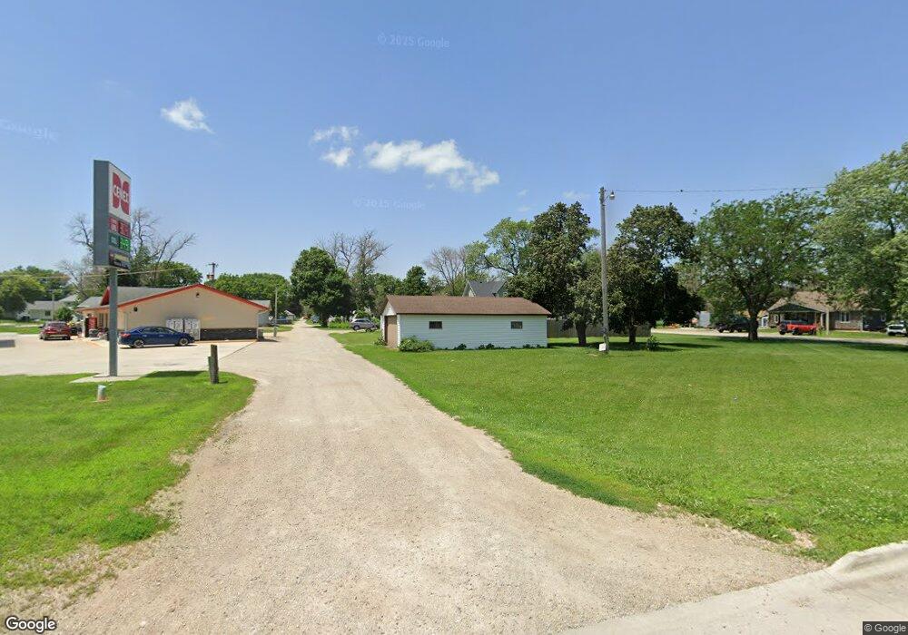
103 Maple St Thornton, IA 50479
Estimated Value: $28,608
Studio
1
Bath
--
Sq Ft
10,367
Sq Ft Lot
About This Home
This home is located at 103 Maple St, Thornton, IA 50479 and is currently priced at $28,608. 103 Maple St is a home located in Cerro Gordo County with nearby schools including West Fork High School.
Ownership History
Date
Name
Owned For
Owner Type
Purchase Details
Closed on
Jul 3, 2024
Sold by
Mclaughlin Phillip J and Mclaughlin Nancy J
Bought by
Mclaughlin Phillip J and Mclaughlin Nancy J
Current Estimated Value
Purchase Details
Closed on
Nov 20, 2023
Sold by
Sorensen Ralph C and Belz Raymond A
Bought by
City Of Thornton
Purchase Details
Closed on
Mar 16, 2005
Sold by
Oelkers Joan and Hiller Jack
Bought by
Mclaughlin Phillip J and Mclaughlin Nancy J
Purchase Details
Closed on
Feb 28, 2005
Sold by
Holladay Carmen L and Holladay Dale
Bought by
Hiller Jack and Oelkers Jaon
Create a Home Valuation Report for This Property
The Home Valuation Report is an in-depth analysis detailing your home's value as well as a comparison with similar homes in the area
Purchase History
| Date | Buyer | Sale Price | Title Company |
|---|---|---|---|
| Mclaughlin Phillip J | -- | None Listed On Document | |
| City Of Thornton | -- | None Listed On Document | |
| Mclaughlin Phillip J | $14,500 | -- | |
| Mclaughlin Phillip J | $14,500 | None Available | |
| Hiller Jack | -- | None Available |
Source: Public Records
Tax History
| Year | Tax Paid | Tax Assessment Tax Assessment Total Assessment is a certain percentage of the fair market value that is determined by local assessors to be the total taxable value of land and additions on the property. | Land | Improvement |
|---|---|---|---|---|
| 2025 | $214 | $15,550 | $4,150 | $11,400 |
| 2024 | $214 | $14,170 | $4,150 | $10,020 |
| 2023 | $202 | $14,520 | $4,980 | $9,540 |
| 2022 | $168 | $12,040 | $3,980 | $8,060 |
| 2021 | $174 | $10,140 | $3,980 | $6,160 |
| 2020 | $174 | $10,070 | $3,980 | $6,090 |
| 2019 | $178 | $0 | $0 | $0 |
| 2018 | $238 | $0 | $0 | $0 |
| 2017 | $242 | $0 | $0 | $0 |
| 2016 | $236 | $0 | $0 | $0 |
| 2015 | $236 | $0 | $0 | $0 |
| 2014 | $258 | $0 | $0 | $0 |
| 2013 | $234 | $0 | $0 | $0 |
Source: Public Records
Map
Nearby Homes
Your Personal Tour Guide
Ask me questions while you tour the home.