103 Merrill Rd Strafford, NH 03884
Estimated Value: $380,000 - $523,000
2
Beds
1
Bath
1,152
Sq Ft
$398/Sq Ft
Est. Value
About This Home
This home is located at 103 Merrill Rd, Strafford, NH 03884 and is currently estimated at $458,717, approximately $398 per square foot. 103 Merrill Rd is a home located in Strafford County with nearby schools including Strafford School and Coe-Brown Northwood Academy.
Ownership History
Date
Name
Owned For
Owner Type
Purchase Details
Closed on
Sep 29, 2008
Sold by
Beneficial Mtg Co Nh
Bought by
England Steven C and England Kathleen A
Current Estimated Value
Home Financials for this Owner
Home Financials are based on the most recent Mortgage that was taken out on this home.
Original Mortgage
$142,400
Outstanding Balance
$95,327
Interest Rate
6.57%
Mortgage Type
Purchase Money Mortgage
Estimated Equity
$363,390
Purchase Details
Closed on
Feb 29, 2008
Sold by
Morgan Larry J
Bought by
Beneficial Mortgage Co
Create a Home Valuation Report for This Property
The Home Valuation Report is an in-depth analysis detailing your home's value as well as a comparison with similar homes in the area
Home Values in the Area
Average Home Value in this Area
Purchase History
| Date | Buyer | Sale Price | Title Company |
|---|---|---|---|
| England Steven C | $178,000 | -- | |
| Beneficial Mortgage Co | $134,000 | -- |
Source: Public Records
Mortgage History
| Date | Status | Borrower | Loan Amount |
|---|---|---|---|
| Open | Beneficial Mortgage Co | $142,400 |
Source: Public Records
Tax History Compared to Growth
Tax History
| Year | Tax Paid | Tax Assessment Tax Assessment Total Assessment is a certain percentage of the fair market value that is determined by local assessors to be the total taxable value of land and additions on the property. | Land | Improvement |
|---|---|---|---|---|
| 2024 | $5,722 | $289,600 | $119,700 | $169,900 |
| 2023 | $5,398 | $289,600 | $119,700 | $169,900 |
| 2022 | $4,961 | $289,600 | $119,700 | $169,900 |
| 2021 | $5,346 | $289,600 | $119,700 | $169,900 |
| 2020 | $5,215 | $203,300 | $99,100 | $104,200 |
| 2019 | $4,771 | $203,300 | $99,100 | $104,200 |
| 2018 | $4,603 | $194,800 | $99,100 | $95,700 |
| 2016 | $4,299 | $202,300 | $99,100 | $103,200 |
| 2015 | $4,578 | $209,900 | $121,500 | $88,400 |
| 2014 | $4,861 | $209,900 | $121,500 | $88,400 |
| 2013 | $4,733 | $208,700 | $121,500 | $87,200 |
| 2012 | $4,671 | $208,700 | $121,500 | $87,200 |
Source: Public Records
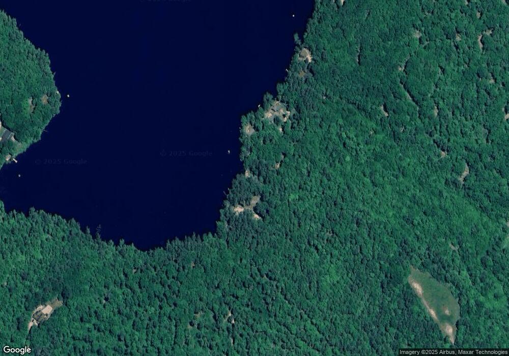
Map
Nearby Homes
- 1760 Province Rd
- R11 07 Clough Rd
- Map 102 Lot 9 Kramas Ln
- 152 Evans Rd
- 955 Catamount Rd
- 85 Province Rd
- 18 Catamount Rd
- 21 Quimby Dr
- 20 Quimby Dr
- 28 Sanderson Dr
- 572 S Barnstead Rd
- 449 Tilton Hill Rd
- 11 Gray Rd
- 132 Chestnut Pond Rd
- 268 Mountain Rd
- 152 Olde Canterbury Rd
- 27 Tyler Ave
- 17 Brook Circle Rd
- 464 North Rd
- M2-l29-2 Province Rd
- 95 Merrill Rd
- 105 Merrill Rd
- 89 Merrill Rd
- 77 Merrill Rd
- 0 Merrill Rd
- 111 Merrill Rd
- 115 Merrill Rd
- 119 Merrill Rd
- 123 Merrill Rd
- 125 Merrill Rd
- 133 Merrill Rd
- 137 Merrill Rd
- 147 Merrill Rd
- 350 Clough Rd
- 216 Wild Goose Pond Rd
- 188 Wild Goose Pond Rd
- 10 Merrill Rd
- 320 Clough Rd
- 185 Wild Goose Pond Rd
- 334 Clough Rd