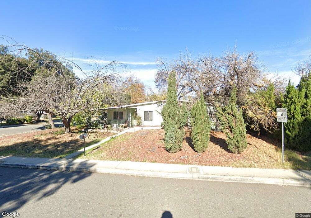
103 Mulvihill Ave Redlands, CA 92374
North Redlands NeighborhoodEstimated Value: $457,055 - $495,000
3
Beds
1
Bath
1,158
Sq Ft
$414/Sq Ft
Est. Value
About This Home
This home is located at 103 Mulvihill Ave, Redlands, CA 92374 and is currently estimated at $479,014, approximately $413 per square foot. 103 Mulvihill Ave is a home located in San Bernardino County with nearby schools including Lugonia Elementary School, Clement Middle School, and Citrus Valley High School.
Ownership History
Date
Name
Owned For
Owner Type
Purchase Details
Closed on
Apr 7, 2016
Sold by
Fattarini Rose
Bought by
Group Viii Covina Properties Lp
Current Estimated Value
Purchase Details
Closed on
Aug 1, 2002
Sold by
Fattarini Rose and Fattarini Frank L
Bought by
Fattarini Rose
Home Financials for this Owner
Home Financials are based on the most recent Mortgage that was taken out on this home.
Original Mortgage
$181,500
Interest Rate
6.52%
Mortgage Type
Credit Line Revolving
Create a Home Valuation Report for This Property
The Home Valuation Report is an in-depth analysis detailing your home's value as well as a comparison with similar homes in the area
Home Values in the Area
Average Home Value in this Area
Purchase History
| Date | Buyer | Sale Price | Title Company |
|---|---|---|---|
| Group Viii Covina Properties Lp | $174,100 | None Available | |
| Fattarini Rose | -- | United Title Company |
Source: Public Records
Mortgage History
| Date | Status | Borrower | Loan Amount |
|---|---|---|---|
| Previous Owner | Fattarini Rose | $181,500 |
Source: Public Records
Tax History Compared to Growth
Tax History
| Year | Tax Paid | Tax Assessment Tax Assessment Total Assessment is a certain percentage of the fair market value that is determined by local assessors to be the total taxable value of land and additions on the property. | Land | Improvement |
|---|---|---|---|---|
| 2025 | $2,568 | $219,003 | $66,292 | $152,711 |
| 2024 | $2,568 | $214,709 | $64,992 | $149,717 |
| 2023 | $2,565 | $210,499 | $63,718 | $146,781 |
| 2022 | $2,528 | $206,372 | $62,469 | $143,903 |
| 2021 | $2,574 | $202,325 | $61,244 | $141,081 |
| 2020 | $2,536 | $200,250 | $60,616 | $139,634 |
| 2019 | $2,465 | $196,323 | $59,427 | $136,896 |
| 2018 | $2,596 | $208,080 | $62,424 | $145,656 |
| 2017 | $2,574 | $204,000 | $61,200 | $142,800 |
| 2016 | $473 | $34,218 | $9,347 | $24,871 |
| 2015 | $470 | $33,704 | $9,207 | $24,497 |
| 2014 | $462 | $33,044 | $9,027 | $24,017 |
Source: Public Records
Map
Nearby Homes
- 1734 Orange St
- 1808 Cave St
- 1602 Glover St
- 1602 Heron Ct
- 140 W Pioneer Ave Unit 76
- 638 E Pioneer Ave
- 325 Deodar St
- 1636 Webster St
- 402 Baldwin Ave
- 401 W Pioneer Ave
- 420 Deodar St
- 1845 Furlow Dr
- 806 Anderson Ct
- 2050 Furlow Dr
- 1806 Madison St
- 1909 Crystal Cove Ct
- 914 Gail Ave
- 1324 Clay St
- 874 Royal Knight Trail
- 1837 River Bend Dr
- 107 Mulvihill Ave
- 102 E Pioneer Ave
- 106 E Pioneer Ave
- 111 Mulvihill Ave
- 1731 Alta St
- 1727 Alta St
- 102 Mulvihill Ave
- 110 E Pioneer Ave
- 24 E Pioneer Ave
- 106 Mulvihill Ave
- 115 Mulvihii Ave
- 1723 Alta St
- 115 Mulvihill Ave
- 110 Mulvihill Ave
- 114 E Pioneer Ave
- 105 E Pioneer Ave
- 1719 Alta St
- 114 Mulvihill Ave
- 119 Mulvihill Ave
- 103 Hartzell Ave