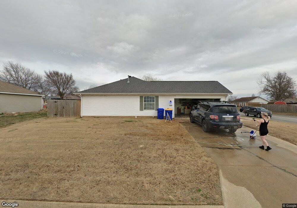
103 N Brandon St Lowell, AR 72745
Estimated Value: $257,155 - $270,000
--
Bed
2
Baths
1,226
Sq Ft
$217/Sq Ft
Est. Value
About This Home
This home is located at 103 N Brandon St, Lowell, AR 72745 and is currently estimated at $265,539, approximately $216 per square foot. 103 N Brandon St is a home located in Benton County with nearby schools including Lowell Elementary School, Kirksey Middle School, and Rogers High School.
Ownership History
Date
Name
Owned For
Owner Type
Purchase Details
Closed on
May 27, 2004
Bought by
Edwards
Current Estimated Value
Purchase Details
Closed on
Jul 6, 1999
Bought by
Petersen
Purchase Details
Closed on
Feb 27, 1997
Bought by
Edwards and Barnes
Purchase Details
Closed on
Dec 4, 1996
Bought by
Chadwick
Purchase Details
Closed on
Jan 26, 1996
Bought by
Mccamey Real Estate Co 6P
Create a Home Valuation Report for This Property
The Home Valuation Report is an in-depth analysis detailing your home's value as well as a comparison with similar homes in the area
Home Values in the Area
Average Home Value in this Area
Purchase History
| Date | Buyer | Sale Price | Title Company |
|---|---|---|---|
| Edwards | -- | -- | |
| Petersen | $80,000 | -- | |
| Edwards | $74,000 | -- | |
| Chadwick | $15,000 | -- | |
| Mccamey Real Estate Co 6P | $84,000 | -- |
Source: Public Records
Mortgage History
| Date | Status | Borrower | Loan Amount |
|---|---|---|---|
| Open | Edwards | $88,000 |
Source: Public Records
Tax History Compared to Growth
Tax History
| Year | Tax Paid | Tax Assessment Tax Assessment Total Assessment is a certain percentage of the fair market value that is determined by local assessors to be the total taxable value of land and additions on the property. | Land | Improvement |
|---|---|---|---|---|
| 2025 | $1,377 | $44,161 | $15,200 | $28,961 |
| 2024 | $1,217 | $44,161 | $15,200 | $28,961 |
| 2023 | $1,159 | $27,520 | $7,200 | $20,320 |
| 2022 | $840 | $27,520 | $7,200 | $20,320 |
| 2021 | $780 | $27,520 | $7,200 | $20,320 |
| 2020 | $727 | $20,340 | $4,000 | $16,340 |
| 2019 | $656 | $20,340 | $4,000 | $16,340 |
| 2018 | $638 | $20,340 | $4,000 | $16,340 |
| 2017 | $496 | $20,340 | $4,000 | $16,340 |
| 2016 | $496 | $20,340 | $4,000 | $16,340 |
| 2015 | $805 | $15,140 | $4,400 | $10,740 |
| 2014 | $455 | $15,140 | $4,400 | $10,740 |
Source: Public Records
Map
Nearby Homes
- 122 N Michael St
- 615 Knight Ave
- 0 Presidential Dr Unit 1317772
- 410 Homewood Place
- 1123 Daylily Ave
- 1117 Daylily Ave
- 1107 Daylily Ave
- 1105 Daylily Ave
- 1103 Daylily Ave
- 1107 Calla Lily Ave
- 1102 Calla Lily Ave
- 1113 Calla Lily Ave
- 1110 Calla Lily Ave
- 1117 Calla Lily Ave
- 1103 Calla Lily Ave
- 1106 Calla Lily Ave
- 1104 Calla Lily Ave
- 1114 Calla Lily Ave
- 1108 Calla Lily Ave
- 1134 Emilia Ave
- 105 N Brandon St
- 101 S Brandon St
- 107 N Brandon St
- 104 N Melody St
- 100 N Brandon St
- 102 S Melody St
- 108 N Melody St
- 104 N Brandon St
- 111 N Brandon St
- 105 S Brandon St
- 102 S Brandon St
- 108 N Brandon St
- 106 S Melody St
- 112 N Melody St
- 106 S Brandon St
- 107 S Brandon St
- 115 N Brandon St
- 103 N Melody St
- 112 N Brandon St
- 105 N Melody St