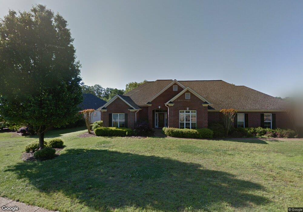
103 Oakhurst Dr Clinton, MS 39056
Estimated Value: $374,302 - $469,000
4
Beds
3
Baths
2,815
Sq Ft
$149/Sq Ft
Est. Value
About This Home
This home is located at 103 Oakhurst Dr, Clinton, MS 39056 and is currently estimated at $418,576, approximately $148 per square foot. 103 Oakhurst Dr is a home located in Hinds County with nearby schools including Clinton Park Elementary School, Eastside Elementary School, and Northside Elementary School.
Ownership History
Date
Name
Owned For
Owner Type
Purchase Details
Closed on
Nov 7, 2016
Sold by
Trott Barbara J
Bought by
Trott Barbara J
Current Estimated Value
Home Financials for this Owner
Home Financials are based on the most recent Mortgage that was taken out on this home.
Original Mortgage
$186,450
Outstanding Balance
$150,157
Interest Rate
3.52%
Mortgage Type
New Conventional
Estimated Equity
$268,419
Purchase Details
Closed on
Aug 5, 2009
Sold by
Wilson Sue Kelly and Wilson Revocable Trust Sue Kelly
Bought by
Wilson Harry Maury and Wilson Sue Kelly
Create a Home Valuation Report for This Property
The Home Valuation Report is an in-depth analysis detailing your home's value as well as a comparison with similar homes in the area
Home Values in the Area
Average Home Value in this Area
Purchase History
| Date | Buyer | Sale Price | Title Company |
|---|---|---|---|
| Trott Barbara J | -- | Attorney | |
| Wilson Harry Maury | -- | -- |
Source: Public Records
Mortgage History
| Date | Status | Borrower | Loan Amount |
|---|---|---|---|
| Open | Trott Barbara J | $186,450 |
Source: Public Records
Tax History Compared to Growth
Tax History
| Year | Tax Paid | Tax Assessment Tax Assessment Total Assessment is a certain percentage of the fair market value that is determined by local assessors to be the total taxable value of land and additions on the property. | Land | Improvement |
|---|---|---|---|---|
| 2025 | $2,253 | $22,177 | $4,000 | $18,177 |
| 2024 | $2,253 | $22,177 | $4,000 | $18,177 |
| 2023 | $2,253 | $22,177 | $4,000 | $18,177 |
| 2022 | $3,371 | $22,177 | $4,000 | $18,177 |
| 2021 | $2,231 | $22,177 | $4,000 | $18,177 |
| 2020 | $2,099 | $21,409 | $4,000 | $17,409 |
| 2019 | $2,142 | $21,409 | $4,000 | $17,409 |
| 2018 | $2,142 | $21,409 | $4,000 | $17,409 |
| 2017 | $2,062 | $32,114 | $6,000 | $26,114 |
| 2016 | $2,062 | $21,409 | $4,000 | $17,409 |
| 2015 | $2,036 | $21,277 | $4,000 | $17,277 |
| 2014 | $2,036 | $21,277 | $4,000 | $17,277 |
Source: Public Records
Map
Nearby Homes
- 110 Trace Pointe Place
- 114 Trace Pointe Place
- 116 Trace Pointe Place
- 0 Copper Creek Dr Unit 4113564
- 0 Copper Creek Dr Unit 4113527
- 107 Trace Pointe Place
- 2 Pinehaven Place
- 1 Pinehaven Place
- 305 Linda Dr
- 73 Canebrake Ct
- 103 Buffalo Cove
- 110 Horseshoe Blvd
- 112 Horseshoe Blvd
- CAMDEN Plan at Horseshoe Bend
- DESTIN Plan at Horseshoe Bend
- JASMINE Plan at Horseshoe Bend
- HOLLY Plan at Horseshoe Bend
- Victoria Plan at Horseshoe Bend
- 109 Saratoga Springs Ave
- 206 Saratoga Springs Ave
- 105 Oakhurst Dr
- 101 Oakhurst Dr
- 102 Oakhurst Dr
- 104 Oakhurst Dr
- 100 Oakhurst Dr
- 106 Oakhurst Dr
- 107 Oakhurst Dr
- 108 Oakhurst Dr
- 101 Victoria Ln
- 103 Victoria Ln
- 105 Victoria Ln
- 107 Victoria Ln
- 109 Victoria Ln
- 100 Bentwood Dr
- 102 Woodland Ct
- 111 Oakhurst Dr
- 112 Oakhurst Dr
- 111 Victoria Ln
- 102 Victoria Ln
- 102 Bentwood Dr