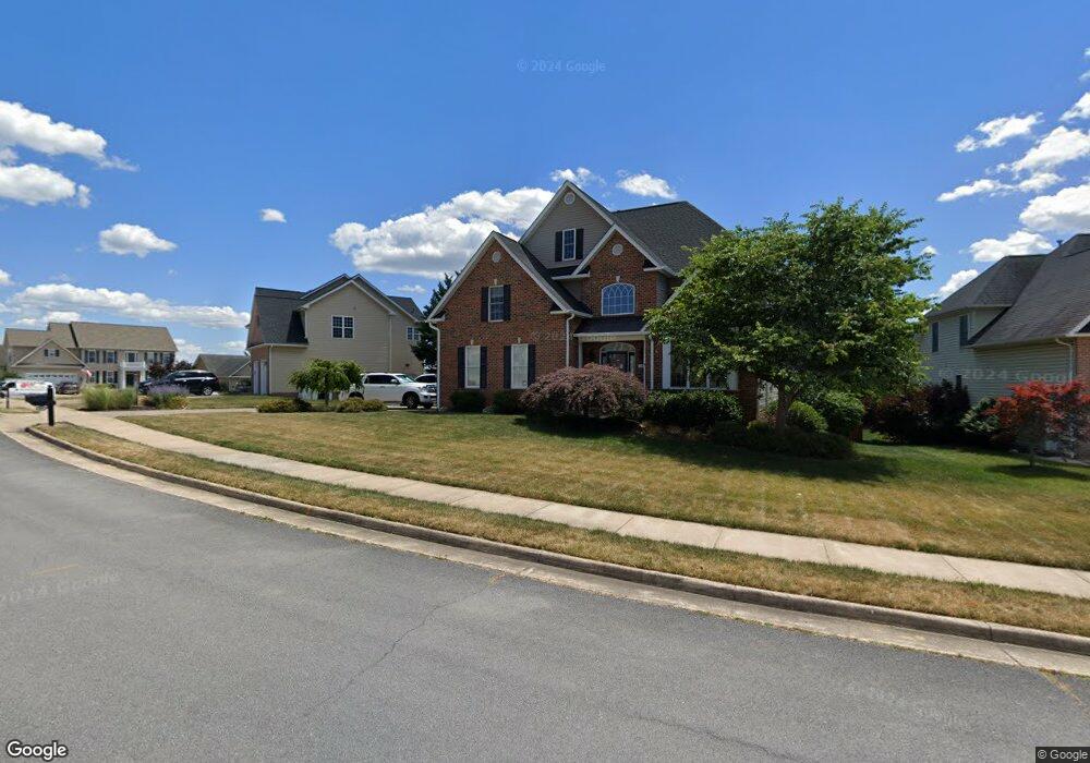
103 Orkney Dr Winchester, VA 22602
Estimated Value: $620,000 - $726,000
6
Beds
4
Baths
3,966
Sq Ft
$165/Sq Ft
Est. Value
About This Home
This home is located at 103 Orkney Dr, Winchester, VA 22602 and is currently estimated at $656,158, approximately $165 per square foot. 103 Orkney Dr is a home located in Frederick County with nearby schools including Armel Elementary School, Admiral Richard E. Byrd Middle School, and Millbrook High School.
Ownership History
Date
Name
Owned For
Owner Type
Purchase Details
Closed on
Sep 14, 2011
Sold by
Neal Timothy D
Bought by
Marino Todd R
Current Estimated Value
Home Financials for this Owner
Home Financials are based on the most recent Mortgage that was taken out on this home.
Original Mortgage
$344,850
Interest Rate
4.01%
Mortgage Type
New Conventional
Purchase Details
Closed on
May 27, 2005
Sold by
Michael G Prelip Inc
Bought by
Neal Timothy
Home Financials for this Owner
Home Financials are based on the most recent Mortgage that was taken out on this home.
Original Mortgage
$415,000
Interest Rate
5.94%
Mortgage Type
New Conventional
Purchase Details
Closed on
Sep 26, 2003
Sold by
Foreman Bldrs Inc
Bought by
Michael Prelip Inc
Home Financials for this Owner
Home Financials are based on the most recent Mortgage that was taken out on this home.
Original Mortgage
$86,000
Interest Rate
6.29%
Mortgage Type
Construction
Create a Home Valuation Report for This Property
The Home Valuation Report is an in-depth analysis detailing your home's value as well as a comparison with similar homes in the area
Home Values in the Area
Average Home Value in this Area
Purchase History
| Date | Buyer | Sale Price | Title Company |
|---|---|---|---|
| Marino Todd R | $363,000 | -- | |
| Neal Timothy | $557,335 | -- | |
| Michael Prelip Inc | $87,000 | -- |
Source: Public Records
Mortgage History
| Date | Status | Borrower | Loan Amount |
|---|---|---|---|
| Previous Owner | Marino Todd R | $344,850 | |
| Previous Owner | Neal Timothy | $415,000 | |
| Previous Owner | Michael Prelip Inc | $86,000 |
Source: Public Records
Tax History
| Year | Tax Paid | Tax Assessment Tax Assessment Total Assessment is a certain percentage of the fair market value that is determined by local assessors to be the total taxable value of land and additions on the property. | Land | Improvement |
|---|---|---|---|---|
| 2025 | $2,848 | $593,400 | $108,000 | $485,400 |
| 2024 | $1,437 | $563,500 | $92,000 | $471,500 |
| 2023 | $2,874 | $563,500 | $92,000 | $471,500 |
| 2022 | $2,608 | $427,600 | $87,000 | $340,600 |
| 2021 | $2,608 | $427,600 | $87,000 | $340,600 |
| 2020 | $2,380 | $390,100 | $87,000 | $303,100 |
| 2019 | $2,380 | $390,100 | $87,000 | $303,100 |
| 2018 | $2,231 | $365,700 | $87,000 | $278,700 |
| 2017 | $2,194 | $365,700 | $87,000 | $278,700 |
| 2016 | $2,208 | $368,000 | $74,500 | $293,500 |
| 2015 | $2,061 | $368,000 | $74,500 | $293,500 |
| 2014 | $852 | $289,100 | $74,500 | $214,600 |
Source: Public Records
Map
Nearby Homes
- 113 Shockey Cir
- 218 Flanagan Dr
- 127 Kinross Dr
- 100 Country Club Cir
- 124 Lenore Ln
- 110 Carter Place
- 25 Williamson Rd
- 113 Williamson Rd
- 26 Williamson Rd
- 24 Williamson Rd
- 128 Poe Dr
- 174 Williamson Rd
- 0 Senseny Rd Unit VAFV2009062
- 0 Oak Ridge Ln Unit VAFV2039728
- 236 Lehigh Dr
- 122 Cherry Hill Cir
- 204 Ridge Rd
- 219 Milam Dr
- 225 Lehigh Dr
- 308 Lehigh Dr
- 105 Orkney Dr
- 101 Orkney Dr
- 105 Carnmore Dr
- 107 Orkney Dr
- 100 Maitland Ct
- 102 Orkney Dr
- 100 Orkney Dr
- 103 Carnmore Dr
- 0 Orkney Dr Unit FV4912553
- 104 Orkney Dr
- 106 Orkney Dr
- 109 Orkney Dr
- 0 Maitland Ct
- 0 Orkney Dr Unit FV5113109
- 106 Carnmore Dr
- 104 Carnmore Dr
- 113 Carnmore Dr
- 102 Maitland Ct
- 108 Carnmore Dr
- 102 Carnmore Dr
Your Personal Tour Guide
Ask me questions while you tour the home.