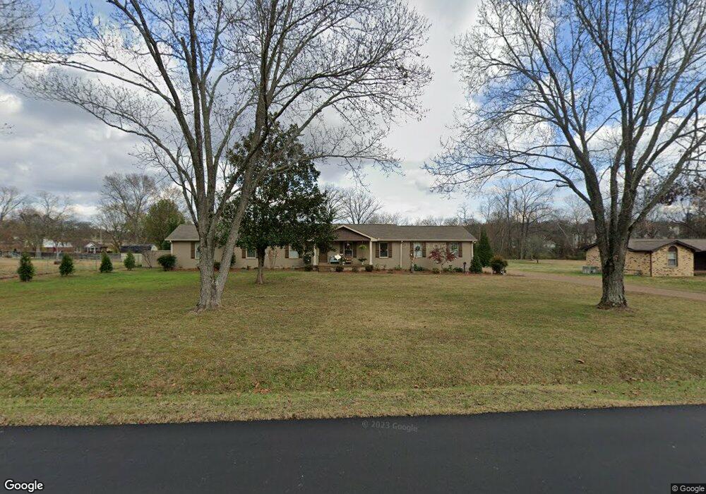
103 Pascal Dr Mount Juliet, TN 37122
Estimated Value: $471,000 - $881,000
Studio
2
Baths
4,372
Sq Ft
$166/Sq Ft
Est. Value
About This Home
This home is located at 103 Pascal Dr, Mount Juliet, TN 37122 and is currently estimated at $725,174, approximately $165 per square foot. 103 Pascal Dr is a home located in Wilson County with nearby schools including Mt. Juliet Elementary School, Mt. Juliet Middle School, and Green Hill High School.
Ownership History
Date
Name
Owned For
Owner Type
Purchase Details
Closed on
Jul 1, 2025
Sold by
Goddard Preston W and Goddard Lesia L
Bought by
Goddard Tennessee Community Property Trust and Goddard
Current Estimated Value
Purchase Details
Closed on
May 31, 2013
Sold by
Goddard Preston W
Bought by
Goddard Preston W and Goddard Lesia L
Purchase Details
Closed on
Mar 29, 2013
Sold by
Fulks Mark A
Bought by
Goddard Preston W
Purchase Details
Closed on
Jul 20, 2000
Sold by
Griffin Gary W
Bought by
Aileen Hill Robin
Purchase Details
Closed on
Jan 27, 1994
Bought by
Griffin Gary W &
Purchase Details
Closed on
Oct 21, 1986
Bought by
Bujdoso Laszlo G Republic Mtg Inc
Purchase Details
Closed on
Dec 12, 1980
Bought by
Charitonenko Peter
Create a Home Valuation Report for This Property
The Home Valuation Report is an in-depth analysis detailing your home's value as well as a comparison with similar homes in the area
Home Values in the Area
Average Home Value in this Area
Purchase History
| Date | Buyer | Sale Price | Title Company |
|---|---|---|---|
| Goddard Tennessee Community Property Trust | -- | None Listed On Document | |
| Goddard Tennessee Community Property Trust | -- | None Listed On Document | |
| Goddard Preston W | -- | -- | |
| Goddard Preston W | $126,000 | -- | |
| Aileen Hill Robin | $148,000 | -- | |
| Griffin Gary W & | $106,800 | -- | |
| Bujdoso Laszlo G Republic Mtg Inc | $94,500 | -- | |
| Charitonenko Peter | -- | -- |
Source: Public Records
Tax History
| Year | Tax Paid | Tax Assessment Tax Assessment Total Assessment is a certain percentage of the fair market value that is determined by local assessors to be the total taxable value of land and additions on the property. | Land | Improvement |
|---|---|---|---|---|
| 2025 | $400 | $137,925 | $21,250 | $116,675 |
| 2024 | $2,633 | $137,925 | $21,250 | $116,675 |
| 2022 | $2,633 | $137,925 | $21,250 | $116,675 |
| 2021 | $2,785 | $137,925 | $21,250 | $116,675 |
| 2020 | $2,826 | $137,925 | $21,250 | $116,675 |
| 2019 | $350 | $105,250 | $16,250 | $89,000 |
| 2018 | $2,826 | $105,250 | $16,250 | $89,000 |
| 2017 | $2,826 | $105,250 | $16,250 | $89,000 |
| 2016 | $2,826 | $105,250 | $16,250 | $89,000 |
| 2015 | $2,916 | $105,250 | $16,250 | $89,000 |
| 2014 | $2,549 | $91,991 | $0 | $0 |
Source: Public Records
Map
Nearby Homes
- 110 Pascal Dr
- 115 Pascal Dr
- 1671 W Wilson Blvd
- 1520 Brookstone Cir
- 506 Page Dr
- 1206 Walden Place
- 1202 Mount Vernon Ln
- 2001 Lynnhaven Ct
- 211 Forrest Lawn Dr
- 1310 Queensland Way
- 1036 Kelsey Glen Dr
- 1408 Tasmania Ct
- 102 Hickory Trace
- 3107 Oxford Dr
- 144 W Division St
- 1107 Sydney Terrace
- 3012 Brisbane Dr
- 2010 Alice Springs Ct
- 4046 Ethan Ave
- 501 Young Dr Unit 1
- 105 Pascal Dr
- 101 Pascal Dr
- 1275 W Division St
- 107 Pascal Dr
- 104 Pascal Dr
- 106 Pascal Dr
- 1245 W Division St
- 102 Pascal Dr
- 108 Pascal Dr
- 1365 W Division St
- 109 Pascal Dr
- 2116 Brookstone Dr
- 2114 Brookstone Dr
- 2118 Brookstone Dr
- 1395 W Division St
- 2120 Brookstone Dr
- 2110 Brookstone Dr
- 1165 W Division St
- 2504 Betsy Ross Ct
- 2108 Brookstone Dr
Your Personal Tour Guide
Ask me questions while you tour the home.