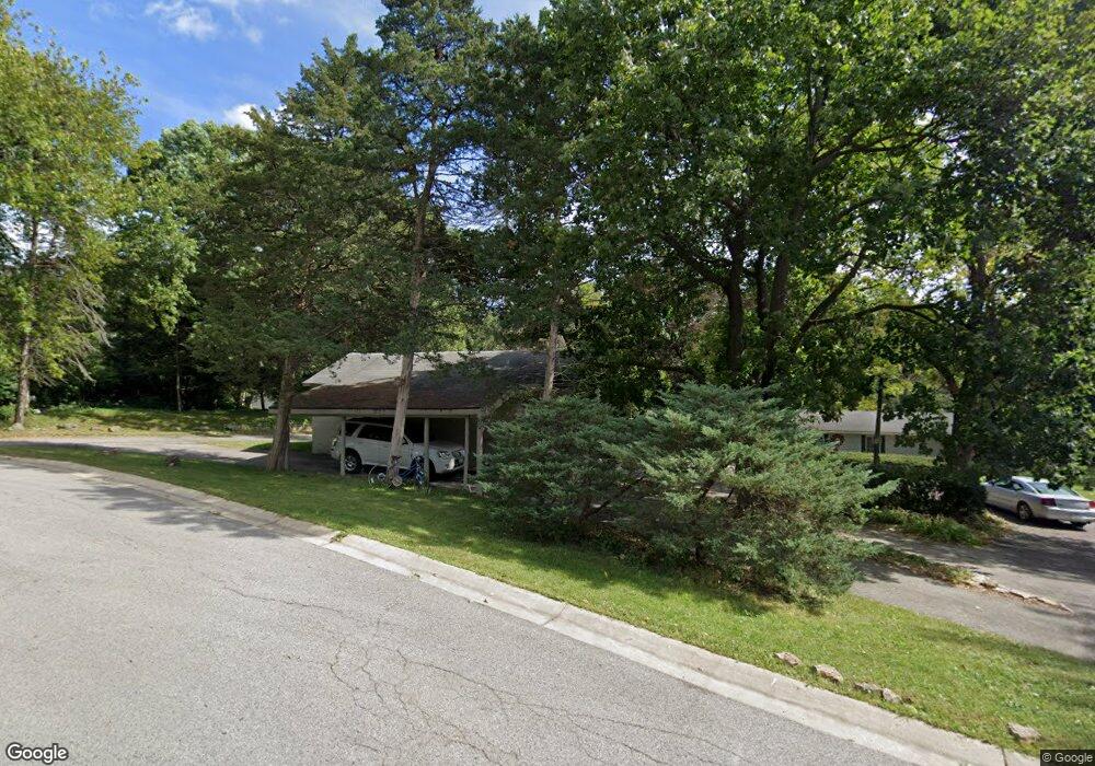
103 Pfund Ct Unit 105 Oswego, IL 60543
North Oswego NeighborhoodEstimated Value: $303,000 - $484,000
--
Bed
--
Bath
2,368
Sq Ft
$157/Sq Ft
Est. Value
About This Home
This home is located at 103 Pfund Ct Unit 105, Oswego, IL 60543 and is currently estimated at $372,132, approximately $157 per square foot. 103 Pfund Ct Unit 105 is a home located in Kendall County with nearby schools including Old Post Elementary School, Thompson Jr. High School, and Oswego High School.
Ownership History
Date
Name
Owned For
Owner Type
Purchase Details
Closed on
Jul 28, 2025
Sold by
Walsh Joseph G and Tsironis Dimitris
Bought by
Walsh Joseph G and Walsh Marisa
Current Estimated Value
Purchase Details
Closed on
Mar 24, 1998
Sold by
Walsh Joseph and Walsh Mary
Bought by
Department Of Transportation
Purchase Details
Closed on
Jul 1, 1996
Bought by
Walsh Joseph and Walsh Joseph G
Purchase Details
Closed on
Jun 24, 1993
Bought by
Crest Dolores A
Create a Home Valuation Report for This Property
The Home Valuation Report is an in-depth analysis detailing your home's value as well as a comparison with similar homes in the area
Home Values in the Area
Average Home Value in this Area
Purchase History
| Date | Buyer | Sale Price | Title Company |
|---|---|---|---|
| Walsh Joseph G | -- | Ticor Title | |
| Department Of Transportation | -- | -- | |
| Walsh Joseph | $143,500 | -- | |
| Crest Dolores A | $110,000 | -- |
Source: Public Records
Mortgage History
| Date | Status | Borrower | Loan Amount |
|---|---|---|---|
| Closed | Crest Dolores A | -- |
Source: Public Records
Tax History Compared to Growth
Tax History
| Year | Tax Paid | Tax Assessment Tax Assessment Total Assessment is a certain percentage of the fair market value that is determined by local assessors to be the total taxable value of land and additions on the property. | Land | Improvement |
|---|---|---|---|---|
| 2024 | $8,560 | $117,377 | $27,520 | $89,857 |
| 2023 | $7,459 | $102,962 | $24,140 | $78,822 |
| 2022 | $7,459 | $93,601 | $21,945 | $71,656 |
| 2021 | $7,557 | $91,766 | $21,515 | $70,251 |
| 2020 | $7,462 | $89,967 | $21,093 | $68,874 |
| 2019 | $7,515 | $89,285 | $21,093 | $68,192 |
| 2018 | $6,754 | $80,925 | $19,118 | $61,807 |
| 2017 | $6,518 | $74,585 | $17,620 | $56,965 |
| 2016 | $6,209 | $70,696 | $16,701 | $53,995 |
| 2015 | $6,215 | $67,977 | $16,059 | $51,918 |
| 2014 | -- | $65,362 | $15,441 | $49,921 |
| 2013 | -- | $68,085 | $16,084 | $52,001 |
Source: Public Records
Map
Nearby Homes
- 3 Orchard Rd
- 123 Orchard Rd
- 2 Orchard Rd
- 1451 Vintage Dr
- 170 Chicago Rd
- 101 Bell Ct
- 55 Garfield St
- 22 Sherwick Rd
- 621 Mansfield Way
- 177 Franklin St
- 420 Chesterfield Ct Unit 420
- 34 N Adams St
- 521 Litchfield Way
- 706 Springside Ct
- 156 River Mist Dr
- 633 Mansfield Way
- 2110 State Route 31
- 141 River Mist Dr
- 555 Litchfield Way
- 704 Pomfret Ct
- 4025 Us Highway 34 Unit B
- 4025 Us Highway 34 Unit A
- 4025 Us Highway 34
- 4025 Us Highway 34
- 4025 Us Highway 34
- 4025 Us Highway 34 Unit A
- 4025 Us Highway 34 Unit B
- 4025 Us Highway 34 Unit B
- 6 Sherwood Dr
- 6 Sherwood Dr Unit A
- 6 Sherwood Dr Unit B
- 4024 Us Highway 34
- 3963 Us Highway 34
- 6 Robinhood Cir Unit 1
- 41 Hawthorne Dr
- 5 Sherwood Dr
- 4 Robinhood Cir
- 3953 Wolf’s Crossing Rd Unit A
- 3953 Wolf Rd Unit B
- 3953 Wolf Rd
