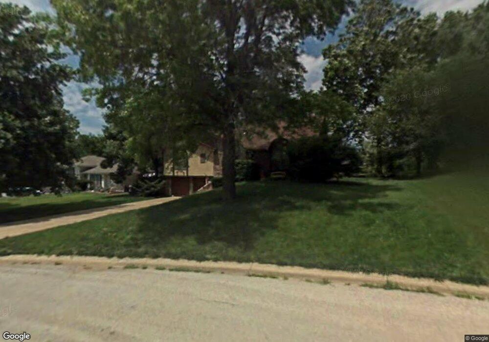
103 Ralph Dr Lansing, KS 66043
Estimated Value: $258,000 - $314,000
3
Beds
2
Baths
1,700
Sq Ft
$168/Sq Ft
Est. Value
About This Home
This home is located at 103 Ralph Dr, Lansing, KS 66043 and is currently estimated at $285,546, approximately $167 per square foot. 103 Ralph Dr is a home located in Leavenworth County with nearby schools including Lansing Elementary School, Lansing Middle 6-8, and Lansing High 9-12.
Ownership History
Date
Name
Owned For
Owner Type
Purchase Details
Closed on
Jul 1, 2024
Sold by
Resnick Carl Clifford and Resnick Jillian
Bought by
Resnick Jillian and Resnick Carl Clifford
Current Estimated Value
Home Financials for this Owner
Home Financials are based on the most recent Mortgage that was taken out on this home.
Original Mortgage
$177,000
Interest Rate
6.95%
Mortgage Type
New Conventional
Purchase Details
Closed on
Jun 3, 2022
Sold by
Resnick Allan M
Bought by
C-Resnick Carl
Create a Home Valuation Report for This Property
The Home Valuation Report is an in-depth analysis detailing your home's value as well as a comparison with similar homes in the area
Home Values in the Area
Average Home Value in this Area
Purchase History
| Date | Buyer | Sale Price | Title Company |
|---|---|---|---|
| Resnick Jillian | -- | Radian Title Insurance Inc | |
| C-Resnick Carl | -- | None Listed On Document |
Source: Public Records
Mortgage History
| Date | Status | Borrower | Loan Amount |
|---|---|---|---|
| Previous Owner | Resnick Jillian | $177,000 |
Source: Public Records
Tax History
| Year | Tax Paid | Tax Assessment Tax Assessment Total Assessment is a certain percentage of the fair market value that is determined by local assessors to be the total taxable value of land and additions on the property. | Land | Improvement |
|---|---|---|---|---|
| 2025 | $3,654 | $28,596 | $5,302 | $23,294 |
| 2024 | $3,408 | $27,497 | $4,221 | $23,276 |
| 2023 | $3,408 | $26,439 | $4,221 | $22,218 |
| 2022 | $3,277 | $24,035 | $3,406 | $20,629 |
| 2021 | $3,291 | $22,931 | $3,406 | $19,525 |
| 2020 | $3,193 | $21,903 | $3,406 | $18,497 |
| 2019 | $2,908 | $19,948 | $3,406 | $16,542 |
| 2018 | $2,689 | $18,473 | $2,861 | $15,612 |
| 2017 | $2,510 | $17,226 | $2,861 | $14,365 |
| 2016 | $2,486 | $17,055 | $2,861 | $14,194 |
| 2015 | $2,478 | $17,055 | $2,861 | $14,194 |
| 2014 | $2,427 | $17,055 | $2,861 | $14,194 |
Source: Public Records
Map
Nearby Homes
- 130 Hampton Ct
- 20958 Ida St
- 530 Holiday Ct
- 950 Holiday Dr
- 00000 Brookwood St
- 26731 147th St
- 900 Oakmont Dr
- 1017 Pebble Beach Dr
- 124 S Main St
- 202 S Main St
- 1101 Pebble Beach Dr
- Lot 2 Eisenhower Rd
- 114 Emile St
- 728 Eisenhower Rd
- 1015 Mount Calvary Rd
- 811 4-H Rd
- 134 Debra St
- 218 E Kay St
- 1102 N Main St
- 4 Eisenhower Rd
- 101 Ralph Dr
- 105 Ralph Dr
- 103 Continental Dr
- 102 Ralph Dr
- 100 Ralph Dr
- 107 Ralph Dr
- 100 Ralphs Dr
- 105 Continental Dr
- 104 Ralph Dr
- 111 Ralph Dr
- 107 Continental Dr
- 109 Ralph Dr
- 109 Ralphs Dr
- 106 Ralph Dr
- 109 Continental Dr
- 100 Continental Dr
- 102 Continental Dr
- 113 Ralph Dr
- 815 Ida St
- 111 Continental Dr
Your Personal Tour Guide
Ask me questions while you tour the home.