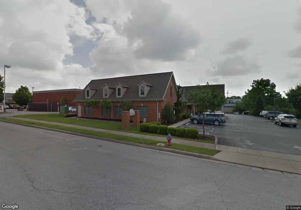
103 S Bradford Ln Georgetown, KY 40324
Bradford Place NeighborhoodEstimated Value: $2,138,090
3
Beds
2
Baths
1,180
Sq Ft
$1,812/Sq Ft
Est. Value
About This Home
This home is located at 103 S Bradford Ln, Georgetown, KY 40324 and is currently estimated at $2,138,090, approximately $1,811 per square foot. 103 S Bradford Ln is a home located in Scott County with nearby schools including Southern Elementary School, Creekside Elementary School, and Georgetown Middle School.
Ownership History
Date
Name
Owned For
Owner Type
Purchase Details
Closed on
Sep 29, 2017
Sold by
Richardson Wallace C and Richardson Mary E
Bought by
Richardson William Wallace
Current Estimated Value
Purchase Details
Closed on
Oct 4, 2007
Sold by
Peck Dennis P and Peck Norma M
Bought by
Richardson Wallace C
Home Financials for this Owner
Home Financials are based on the most recent Mortgage that was taken out on this home.
Original Mortgage
$963,400
Interest Rate
6.44%
Mortgage Type
Commercial
Create a Home Valuation Report for This Property
The Home Valuation Report is an in-depth analysis detailing your home's value as well as a comparison with similar homes in the area
Home Values in the Area
Average Home Value in this Area
Purchase History
| Date | Buyer | Sale Price | Title Company |
|---|---|---|---|
| Richardson William Wallace | $875,000 | Attorney | |
| Richardson Wallace C | $1,156,432 | None Available |
Source: Public Records
Mortgage History
| Date | Status | Borrower | Loan Amount |
|---|---|---|---|
| Closed | Richardson Wallace C | $963,400 |
Source: Public Records
Tax History Compared to Growth
Tax History
| Year | Tax Paid | Tax Assessment Tax Assessment Total Assessment is a certain percentage of the fair market value that is determined by local assessors to be the total taxable value of land and additions on the property. | Land | Improvement |
|---|---|---|---|---|
| 2024 | $8,656 | $962,500 | $0 | $0 |
| 2023 | $8,727 | $962,500 | $300,000 | $662,500 |
| 2022 | $8,184 | $962,500 | $300,000 | $662,500 |
| 2021 | $8,243 | $875,000 | $300,000 | $575,000 |
| 2020 | $7,518 | $875,000 | $300,000 | $575,000 |
| 2019 | $7,637 | $875,000 | $0 | $0 |
| 2018 | $7,593 | $875,000 | $0 | $0 |
| 2017 | $11,765 | $1,349,172 | $0 | $0 |
| 2016 | $10,864 | $1,349,172 | $0 | $0 |
| 2015 | $8,401 | $1,050,000 | $0 | $0 |
| 2014 | $8,264 | $996,736 | $0 | $0 |
| 2011 | $772 | $1,245,920 | $0 | $0 |
Source: Public Records
Map
Nearby Homes
- 127 E Chopin Way
- 107 Oconner Ct
- 102 Browning Dr
- 139 E Showalter Dr
- 1020 Parkside Dr
- 139 Hawthorne Dr
- 1338 Liberty Dr Unit A and B
- 212 Pocahontas Trail
- 1117 Pawnee Trail
- 151 Hemingway Place
- 224 E Showalter Dr
- 230 E Showalter Dr
- 198 Hiawatha Trail
- 128 Warren Pass
- 1363 Bridges Creek Ct
- 110 Lovett Park Ln
- 217 Atwood Dr
- 129 Irving Ln
- 235 Ransom Trace
- 1115 Apache Trail
- 101 W Showalter Dr
- 919 S Broadway St
- 923 S Broadway St
- 113 E Chopin Way
- 115 E Chopin Way
- 100 Markham Dr
- 105 W Showalter Dr
- 111 E Chopin Way
- 117 E Chopin Way
- 930 S Broadway St
- 119 E Chopin Way
- 121 E Chopin Way
- 123 E Chopin Way
- 107 W Showalter Dr
- 125 E Chopin Way
- 109 E Chopin Way
- 104 Markham Dr
- 109 W Showalter Dr
- 107 E Chopin Way
- 104 E Chopin Way