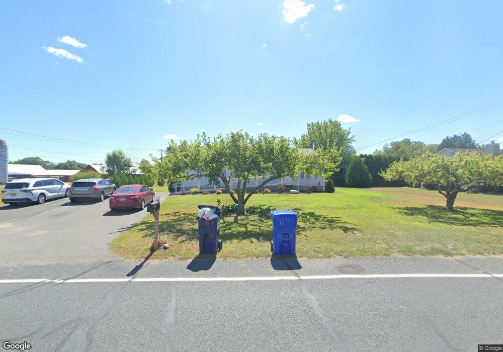
103 Stockbridge St Hadley, MA 01035
Estimated Value: $445,000 - $502,000
3
Beds
2
Baths
1,248
Sq Ft
$382/Sq Ft
Est. Value
About This Home
This home is located at 103 Stockbridge St, Hadley, MA 01035 and is currently estimated at $476,667, approximately $381 per square foot. 103 Stockbridge St is a home located in Hampshire County with nearby schools including Hadley Elementary School, Hopkins Academy, and Pioneer Valley Chinese Immersion Charter School.
Ownership History
Date
Name
Owned For
Owner Type
Purchase Details
Closed on
Jun 17, 2011
Sold by
Fellers Stephen G and Surner Benjamin A
Bought by
Almadan Inc
Current Estimated Value
Home Financials for this Owner
Home Financials are based on the most recent Mortgage that was taken out on this home.
Original Mortgage
$319,000
Outstanding Balance
$221,044
Interest Rate
4.74%
Mortgage Type
Purchase Money Mortgage
Estimated Equity
$255,623
Create a Home Valuation Report for This Property
The Home Valuation Report is an in-depth analysis detailing your home's value as well as a comparison with similar homes in the area
Home Values in the Area
Average Home Value in this Area
Purchase History
| Date | Buyer | Sale Price | Title Company |
|---|---|---|---|
| Almadan Inc | $247,000 | -- |
Source: Public Records
Mortgage History
| Date | Status | Borrower | Loan Amount |
|---|---|---|---|
| Open | Almadan Inc | $319,000 |
Source: Public Records
Tax History
| Year | Tax Paid | Tax Assessment Tax Assessment Total Assessment is a certain percentage of the fair market value that is determined by local assessors to be the total taxable value of land and additions on the property. | Land | Improvement |
|---|---|---|---|---|
| 2025 | $4,567 | $392,700 | $131,600 | $261,100 |
| 2024 | $4,338 | $380,900 | $131,600 | $249,300 |
| 2023 | $4,158 | $360,300 | $131,600 | $228,700 |
| 2022 | $3,901 | $320,300 | $131,600 | $188,700 |
| 2021 | $3,479 | $289,900 | $131,600 | $158,300 |
| 2020 | $3,483 | $272,500 | $131,600 | $140,900 |
| 2019 | $3,368 | $272,500 | $131,600 | $140,900 |
| 2018 | $3,295 | $272,500 | $131,600 | $140,900 |
| 2017 | $3,170 | $274,000 | $131,300 | $142,700 |
| 2016 | $3,055 | $274,000 | $131,300 | $142,700 |
| 2015 | $2,976 | $274,000 | $131,300 | $142,700 |
| 2014 | $2,915 | $274,000 | $131,300 | $142,700 |
Source: Public Records
Map
Nearby Homes
- Lot 3 Roosevelt St
- 63 Amity Place Unit 63
- 75 Amity Place Unit 75
- 174 Lincoln Ave
- 50 Mount Pleasant
- 0 Main St
- 3 Frost Ln
- 208 Rolling Ridge Rd
- 30 Greenleaves Dr
- 167 Rolling Ridge Rd
- 23 Greenleaves Dr Unit 107
- 48 Gray St
- 12 Teawaddle Ln
- 24 Greenleaves Dr Unit 418
- 27 Greenleaves Dr Unit 726
- 60 Red Gate Ln
- 26 Greenleaves Dr Unit 635
- 26 Greenleaves Dr Unit 624
- 185 Cherry Ln
- 0 Red Gate Ln Unit 73348273
- 101 Stockbridge St
- 98 Stockbridge Rd
- 105 Roosevelt St
- 105 Stockbridge Rd
- 96 Stockbridge St
- 107 Stockbridge Rd
- 3 Mill River Ln
- 2 Mill River Ln
- 107 Roosevelt St
- 94 Stockbridge St
- 6 Mill River Ln
- 92 Stockbridge St
- 92 Stockbridge St
- 111 Stockbridge St
- 93 Stockbridge Rd
- 91 Stockbridge St
- 90 Stockbridge Rd
- 88 Stockbridge St
- 89 Stockbridge St
- 89 Stockbridge St
Your Personal Tour Guide
Ask me questions while you tour the home.