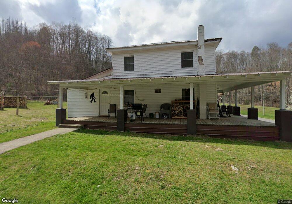
103 Thunder Rd Roan Mountain, TN 37687
Estimated Value: $63,000 - $256,000
--
Bed
1
Bath
1,440
Sq Ft
$106/Sq Ft
Est. Value
About This Home
This home is located at 103 Thunder Rd, Roan Mountain, TN 37687 and is currently estimated at $153,000, approximately $106 per square foot. 103 Thunder Rd is a home located in Carter County.
Ownership History
Date
Name
Owned For
Owner Type
Purchase Details
Closed on
Feb 4, 2025
Sold by
Harrald Connie Elaine
Bought by
Harrald Michael A
Current Estimated Value
Purchase Details
Closed on
Aug 20, 2018
Sold by
Harrald Michael A and Harrald Humphrey Apryle Dawn
Bought by
Harrald Connie Elaine
Purchase Details
Closed on
Feb 1, 2008
Sold by
Harrald Harvey C
Bought by
Harrald Albert I
Purchase Details
Closed on
Jan 16, 1997
Sold by
Brown Arthur
Bought by
Harrald Harvey
Home Financials for this Owner
Home Financials are based on the most recent Mortgage that was taken out on this home.
Original Mortgage
$20,936
Interest Rate
7.77%
Purchase Details
Closed on
Oct 13, 1942
Bought by
Brown Arthur and Brown Roxie
Create a Home Valuation Report for This Property
The Home Valuation Report is an in-depth analysis detailing your home's value as well as a comparison with similar homes in the area
Home Values in the Area
Average Home Value in this Area
Purchase History
| Date | Buyer | Sale Price | Title Company |
|---|---|---|---|
| Harrald Michael A | -- | None Listed On Document | |
| Harrald Michael A | -- | None Listed On Document | |
| Harrald Connie Elaine | -- | None Available | |
| Harrald Albert I | -- | -- | |
| Harrald Harvey | $18,000 | -- | |
| Brown Arthur | -- | -- |
Source: Public Records
Mortgage History
| Date | Status | Borrower | Loan Amount |
|---|---|---|---|
| Previous Owner | Brown Arthur | $20,936 |
Source: Public Records
Tax History Compared to Growth
Tax History
| Year | Tax Paid | Tax Assessment Tax Assessment Total Assessment is a certain percentage of the fair market value that is determined by local assessors to be the total taxable value of land and additions on the property. | Land | Improvement |
|---|---|---|---|---|
| 2024 | $305 | $13,975 | $2,975 | $11,000 |
| 2023 | $305 | $13,975 | $0 | $0 |
| 2022 | $284 | $13,975 | $2,975 | $11,000 |
| 2021 | $284 | $13,975 | $2,975 | $11,000 |
| 2020 | $214 | $13,975 | $2,975 | $11,000 |
| 2019 | $214 | $8,650 | $2,300 | $6,350 |
| 2018 | $214 | $8,650 | $2,300 | $6,350 |
| 2017 | $214 | $8,650 | $2,300 | $6,350 |
| 2016 | $212 | $8,650 | $2,300 | $6,350 |
| 2015 | $212 | $8,650 | $2,300 | $6,350 |
| 2014 | $217 | $8,875 | $2,300 | $6,575 |
Source: Public Records
Map
Nearby Homes
- 184 Hogum Hollow Rd
- 7735 U S 19e
- 7490 U S 19e
- 193 Smith Branch Rd
- Tbd Us Highway 19e
- 156 Rock Quarry Rd
- Lot 6 Laurel Highlands Rd
- 638 Old Highway 143
- 394 Smith Branch Rd
- 9125 Highway 19 E
- 154 Tennessee 143
- 191 Tennessee 143
- 123 McMahan Gibbs Rd
- 238 Ripshin Lake Rd
- Tbd Highway 19 E
- 205 Willow St
- 127 Heaton St
- 512 Race St
- 153 Hampton Creek Rd
- 00 Cloudland Dr
- 257 Hogum Hollow Rd
- 114 Thunder Rd
- 00 Hogum Hollow Rd
- Lot 4 Hogum Hollow Rd
- Lot 5 Hogum Hollow Rd
- XX Hogum Hollow Rd
- 0 Hogum Hollow Rd
- TR 1 Hogum Hollow Rd
- TR 6 Hogum Hollow Rd
- TR 9 Hogum Hollow Rd
- TR 5 Hogum Hollow Rd
- TR 3 Hogum Hollow Rd
- TR 10 Hogum Hollow Rd
- TR 8 Hogum Hollow Rd
- TR 7 Hogum Hollow Rd
- Lot 9 Hogum Hollow Rd
- Lot 7 Hogum Hollow Rd
- Lot 6 Hogum Hollow Rd
- Lot 10 Hogum Hollow Rd
- Lot 8 Hogum Hollow Rd