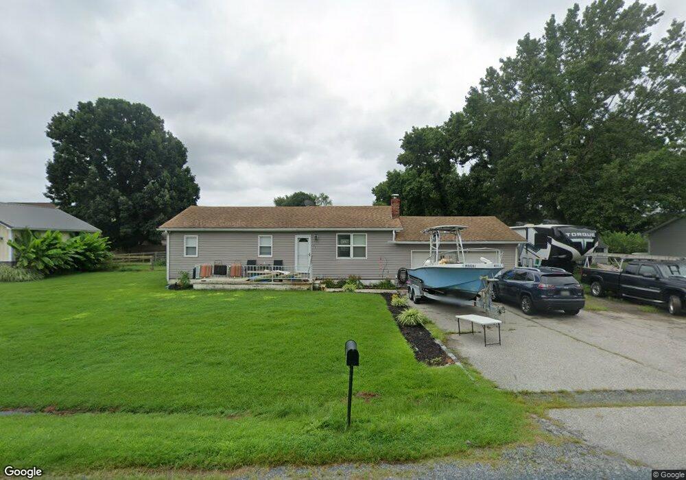
103 Trequassin Dr Stevensville, MD 21666
Estimated Value: $319,778 - $381,000
--
Bed
2
Baths
720
Sq Ft
$475/Sq Ft
Est. Value
About This Home
This home is located at 103 Trequassin Dr, Stevensville, MD 21666 and is currently estimated at $341,945, approximately $474 per square foot. 103 Trequassin Dr is a home located in Queen Anne's County with nearby schools including Matapeake Elementary School, Matapeake Middle School, and Kent Island High School.
Ownership History
Date
Name
Owned For
Owner Type
Purchase Details
Closed on
Mar 20, 2019
Sold by
Faro Michael William and Faro Sommer K
Bought by
Faro Michael William and Faro Sommer K
Current Estimated Value
Home Financials for this Owner
Home Financials are based on the most recent Mortgage that was taken out on this home.
Original Mortgage
$178,062
Outstanding Balance
$159,124
Interest Rate
5.25%
Mortgage Type
FHA
Estimated Equity
$182,821
Purchase Details
Closed on
Aug 30, 2013
Sold by
Boggs Hubert
Bought by
Faro Michael William and Ryan Sommer Kaye
Home Financials for this Owner
Home Financials are based on the most recent Mortgage that was taken out on this home.
Original Mortgage
$128,250
Interest Rate
4.43%
Mortgage Type
New Conventional
Create a Home Valuation Report for This Property
The Home Valuation Report is an in-depth analysis detailing your home's value as well as a comparison with similar homes in the area
Home Values in the Area
Average Home Value in this Area
Purchase History
| Date | Buyer | Sale Price | Title Company |
|---|---|---|---|
| Faro Michael William | -- | Advantage Title Company Llc | |
| Faro Michael William | $135,000 | Quiet Title Llc |
Source: Public Records
Mortgage History
| Date | Status | Borrower | Loan Amount |
|---|---|---|---|
| Open | Faro Michael William | $178,062 | |
| Closed | Faro Michael William | $128,250 |
Source: Public Records
Tax History Compared to Growth
Tax History
| Year | Tax Paid | Tax Assessment Tax Assessment Total Assessment is a certain percentage of the fair market value that is determined by local assessors to be the total taxable value of land and additions on the property. | Land | Improvement |
|---|---|---|---|---|
| 2025 | $1,951 | $263,500 | $0 | $0 |
| 2024 | $1,951 | $246,500 | $0 | $0 |
| 2023 | $1,849 | $229,500 | $151,000 | $78,500 |
| 2022 | $1,754 | $206,733 | $0 | $0 |
| 2021 | $1,606 | $183,967 | $0 | $0 |
| 2020 | $1,606 | $161,200 | $92,000 | $69,200 |
| 2019 | $1,578 | $158,300 | $0 | $0 |
| 2018 | $1,550 | $155,400 | $0 | $0 |
| 2017 | $1,523 | $152,500 | $0 | $0 |
| 2016 | -- | $152,500 | $0 | $0 |
| 2015 | $717 | $152,500 | $0 | $0 |
| 2014 | $717 | $159,500 | $0 | $0 |
Source: Public Records
Map
Nearby Homes
- 101 Trequassin Dr
- 116 Kent Point Rd
- 100 Kent Point Rd
- 102 Chesapeake Bay Dr
- 7680 Kent Point Rd
- 216 Lighthouse View Dr
- 231 Lighthouse View Dr
- 245 Lighthouse View Dr
- 200 Mallard Cove Ln
- 312 S Lake Dr
- 137 Tanners Point Dr
- 201 Beachside Dr
- 109 Calvert Rd
- 107 Terrapin Ln
- 208 Tower Dr
- 101 Beachside Dr
- 305 N Lake Dr
- 145 N Lake Dr
- 114 N Lake Dr
- 119 N Lake Dr
- 105 Trequassin Dr
- 102 Claiborne Rd
- 102 Trequassin Dr
- 100 Claiborne Rd
- 26 Claiborne Rd
- 107 Trequassin Dr
- 115 Monoponsan Rd
- 102 Rock Ln
- 114 Kent Point Rd
- 104 Rock Ln
- 100 Rock Ln
- 114 Monoponsan Rd
- 113 Monoponsan Rd
- 109 Trequassin Dr
- 106 Rock Ln
- 112 Kent Point Rd
- 108 Claiborne Rd
- 112 Trequassin Dr
- 105 Rock Ln
- 103 Rock Ln