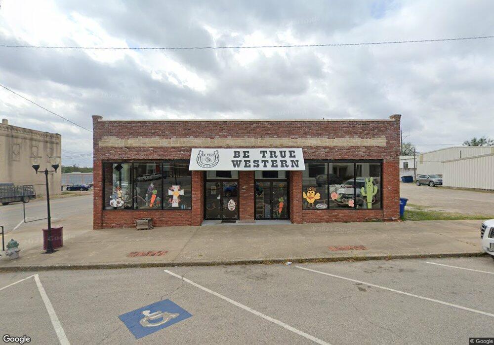
103 W Cherokee Ave Nowata, OK 74048
Estimated Value: $81,983
Studio
--
Bath
6,955
Sq Ft
$12/Sq Ft
Est. Value
About This Home
This home is located at 103 W Cherokee Ave, Nowata, OK 74048 and is currently estimated at $81,983, approximately $11 per square foot. 103 W Cherokee Ave is a home located in Nowata County with nearby schools including Nowata Elementary School, Nowata Middle School, and Nowata High School.
Ownership History
Date
Name
Owned For
Owner Type
Purchase Details
Closed on
Oct 7, 2021
Sold by
Chrisman Curtis
Bought by
Parrett Michael Dustin and Parrett Kathryn Marie
Current Estimated Value
Purchase Details
Closed on
Jan 15, 2020
Sold by
Chrisman Curtis
Bought by
Haynes James Walter
Purchase Details
Closed on
Jan 1, 2012
Sold by
Chrisman L D
Bought by
Chrisman Curtis
Create a Home Valuation Report for This Property
The Home Valuation Report is an in-depth analysis detailing your home's value as well as a comparison with similar homes in the area
Home Values in the Area
Average Home Value in this Area
Purchase History
| Date | Buyer | Sale Price | Title Company |
|---|---|---|---|
| Parrett Michael Dustin | $67,000 | None Listed On Document | |
| Parrett Michael Dustin | $67,000 | None Listed On Document | |
| Parrett Michael Dustin | $67,000 | None Listed On Document | |
| Parrett Michael Dustin | $67,000 | Musselman Abstract Company | |
| Parett Michael Dustin | $67,000 | First American Title Ins Co | |
| Haynes James Walter | $67,500 | None Available | |
| Chrisman Curtis | -- | None Available |
Source: Public Records
Tax History
| Year | Tax Paid | Tax Assessment Tax Assessment Total Assessment is a certain percentage of the fair market value that is determined by local assessors to be the total taxable value of land and additions on the property. | Land | Improvement |
|---|---|---|---|---|
| 2025 | $874 | $8,864 | $1,161 | $7,703 |
| 2024 | $888 | $8,442 | $1,106 | $7,336 |
| 2023 | $833 | $8,040 | $991 | $7,049 |
| 2022 | $760 | $8,040 | $991 | $7,049 |
| 2021 | $768 | $8,100 | $998 | $7,102 |
| 2020 | $765 | $7,921 | $976 | $6,945 |
| 2019 | $735 | $7,545 | $930 | $6,615 |
| 2018 | $690 | $7,186 | $979 | $6,207 |
| 2017 | $661 | $6,843 | $1,006 | $5,837 |
| 2016 | $633 | $6,517 | $958 | $5,559 |
| 2015 | $616 | $6,207 | $589 | $5,618 |
| 2014 | $580 | $5,911 | $1,102 | $4,809 |
Source: Public Records
Map
Nearby Homes
- 00 Highway 60
- 0 Highway 60
- 236 S Sycamore St
- 346 N Willow St
- 123 N Locust St
- 342 S Sycamore St
- 435 S Maple St
- 123 S Ash St
- 446 S Elm St
- 0 E Shawnee Ave
- 912 W Shawnee Ave
- 544 S Pine St
- 706 W Bushyhead Ave
- 616 S Maple St
- 0 Hwy 60 Unit 2601687
- 1140 S Pecan St
- 1202 W Davis Dr
- 0 S Taylor St Unit 2545890
- 715 S Hickory St
- 507 W Russell Ave
- 117 W Cherokee Ave
- 109 W Cherokee Ave
- 102 E Cherokee Ave
- 104 E Cherokee Ave
- 0 U S 60
- 114 S Maple St
- 108 E Cherokee Ave
- 115 S Pine St
- 123 S Maple St
- 112 E Cherokee Ave
- 836 County Road 202
- 0 E 24 Unit 134781
- 0 270 Rd Unit 221610
- 0 26th Rd Unit 331639
- 0 26th Rd Unit 419345
- 0 2300 Rd Unit 1016979
- 0 26th Rd Unit 1036350
- 0 26th Rd Unit 1036351
- 0 2300 Rd Unit 517803
- 0 26th Rd Unit 602060
Your Personal Tour Guide
Ask me questions while you tour the home.