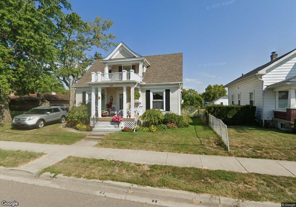
103 W Main St Hayesville, OH 44838
Estimated Value: $141,000 - $174,000
3
Beds
2
Baths
1,346
Sq Ft
$122/Sq Ft
Est. Value
About This Home
This home is located at 103 W Main St, Hayesville, OH 44838 and is currently estimated at $164,163, approximately $121 per square foot. 103 W Main St is a home with nearby schools including Hillsdale Elementary School, Hillsdale Middle School, and Hillsdale High School.
Ownership History
Date
Name
Owned For
Owner Type
Purchase Details
Closed on
Aug 11, 2014
Sold by
Gardner Family Trust
Bought by
Dustin Thomas M and Dustin Britany Thomas
Current Estimated Value
Home Financials for this Owner
Home Financials are based on the most recent Mortgage that was taken out on this home.
Original Mortgage
$89,285
Outstanding Balance
$67,079
Interest Rate
4.11%
Mortgage Type
New Conventional
Estimated Equity
$97,084
Purchase Details
Closed on
Feb 7, 2008
Purchase Details
Closed on
Jan 1, 1990
Bought by
Gardner William K
Create a Home Valuation Report for This Property
The Home Valuation Report is an in-depth analysis detailing your home's value as well as a comparison with similar homes in the area
Purchase History
| Date | Buyer | Sale Price | Title Company |
|---|---|---|---|
| Dustin Thomas M | $87,500 | Attorney Only | |
| -- | -- | -- | |
| Gardner William K | -- | -- |
Source: Public Records
Mortgage History
| Date | Status | Borrower | Loan Amount |
|---|---|---|---|
| Open | Dustin Thomas M | $89,285 |
Source: Public Records
Tax History
| Year | Tax Paid | Tax Assessment Tax Assessment Total Assessment is a certain percentage of the fair market value that is determined by local assessors to be the total taxable value of land and additions on the property. | Land | Improvement |
|---|---|---|---|---|
| 2025 | $1,373 | $40,080 | $5,050 | $35,030 |
| 2024 | $1,373 | $40,080 | $5,050 | $35,030 |
| 2023 | $1,373 | $40,080 | $5,050 | $35,030 |
| 2022 | $1,299 | $30,840 | $3,890 | $26,950 |
| 2021 | $1,300 | $30,840 | $3,890 | $26,950 |
| 2020 | $1,219 | $30,840 | $3,890 | $26,950 |
| 2019 | $1,154 | $28,490 | $4,020 | $24,470 |
| 2018 | $1,148 | $28,490 | $4,020 | $24,470 |
| 2017 | $1,009 | $28,490 | $4,020 | $24,470 |
| 2016 | $1,009 | $24,780 | $3,500 | $21,280 |
| 2015 | $997 | $24,780 | $3,500 | $21,280 |
| 2013 | $784 | $27,850 | $3,510 | $24,340 |
Source: Public Records
Map
Nearby Homes
- 19 Harclay Ct
- 150 E Main St
- 820 County Road 30a
- 0 County Road 1754
- 399 County Road 2000
- 1117 County Road 2075
- 2195 Township Road 405
- 1084 Township Road 1806
- 1589 State Route 511
- 2057 State Route 89
- 609 Ohio 95
- 496 Township Road 2402
- 977-B Township Road 1514
- 1114 Surrey Cir
- 1314 Blossom Ln
- 1280 Davis Rd S
- 0 Eagle Way
- 2484 Fox Wood Dr
- 1551 Township Road 1153
- 1127 Cooper Dr
Your Personal Tour Guide
Ask me questions while you tour the home.